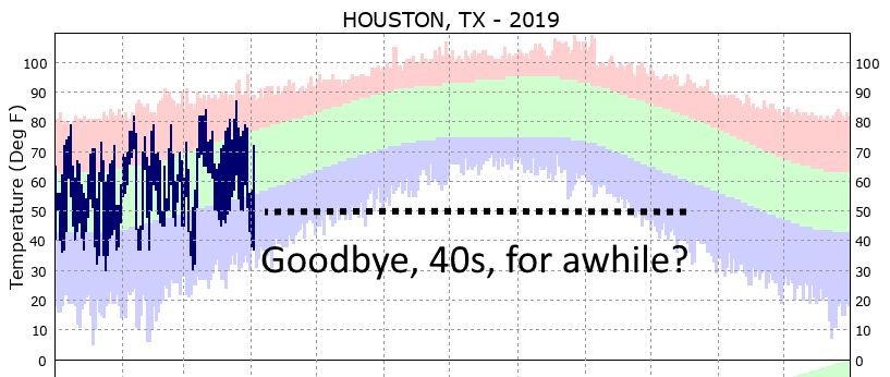
Temperatures in much of Houston, including the official weather station at Bush Intercontinental Airport, dipped into the upper 40s on Wednesday morning. The question I’m left with is whether this will be the last time that happens this year until November. For example, in 2018, the final 40-degree night came on April 16, and the region didn’t get another one until Nov. 10. The next few weeks look fairly warm, so at this point I would bet on saying goodbye to the roaring 40s for at least the next six months. But no guarantees just yet.
Wednesday
We’ll also say goodbye to high pressure for awhile, as it has moved to the east, to be replaced by a warmer and more moist airmass. As a result rain chances will be on the upswing from tonight through the weekend. Today should be a mostly cloudy affair, with highs of around 70 degrees. We can’t entirely rule out some scattered rain chances today for the Houston region, but any heavier showers will likely hold off until after sunset. Overnight lows will be warm, in the mid-60s.
Thursday
Better rain chances will come late Wednesday night and through Thursday morning, with accumulations of perhaps a few tenths of an inch up to (at most) one-half inch through about noon. This shouldn’t be too disruptive, and rains should end during the afternoon hours. Some sunshine may even peek out before sunset. Highs will be around 80, with mostly cloudy skies, and again warm nights.

Friday
This should be a mostly dry, albeit mostly cloudy day. Rain chances are probably 20 percent, or less, with highs rising to around 80 degrees.
Saturday and Sunday
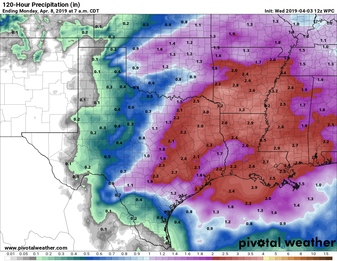
The weekend still looks wet as an upper level disturbance combines with a moist atmosphere to bring widespread rain showers into the area. The best rain chances will likely occur from Saturday morning through late Saturday night, and accumulations of 1 to 2 inches are likely during this period, although we can’t rule out some higher localized totals. It’s hard to pinpoint which areas may see the most rain, but basically the day will probably be a washout for most of the area, especially from the afternoon onward. Highs around 80. It’s lousy that the rain is coming on a weekend, but the region has been getting dry, so it’s not entirely unwelcome.
Some drier air arrives on Sunday, so I’d expect rain showers to end sometime during the morning, or early afternoon, with a chance of some clearing skies later in the day. Depending on how much sunshine arrives, temperatures could jump up into the lower or even mid-80s.
Next week
The second week of April should start our pretty nicely for the region, with mostly sunny skies, highs in the 80s, somewhat drier air, and nights perhaps getting down to around 60 degrees.
COME BACK 40s, COME BACK!!!
Please stay………..forever….
I hope it rains a bunch tonight – the grass could use it, and I am over the massive amounts of oak pollen blowing into my face each morning.
Lots of little league games scheduled for Saturday. Oh well…