A lot of people have been asking for when it might rain next, and now the forecast is becoming more clear. So here’s a quick weekend update on rain chances for the next few days.
MONDAY
If you’ve been outside today you’ve probably felt the increasing moisture levels, and seen some clouds. That’s atmospheric moisture returning to Houston, and high resolution forecast models show the possibility of locally heavy rain on Monday morning, from a few hours before sunrise through around 9 a.m. I’d characterize the uncertainty about amounts of rain as “high,” but there’s definitely the potential for some areas to pick up a quick inch of rain. Most parts of Houston, however, are more likely to only see a tenth or two of an inch of rain during the morning hours.
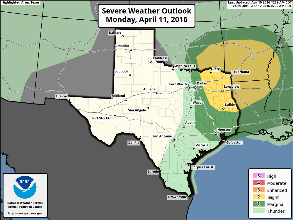
Another round of showers is possible in the afternoon, however the better chances for rain, and possibly severe weather, lie well to the northeast of Houston later on Monday.
WEDNESDAY
After a weak cool front moves through on Tuesday, likely bringing a reprieve from precipitation, even better rain chances arrive on Wednesday. Right now the atmosphere will likely be most favorable for showers closer to the coast, where there will be ample rising air. Some areas may see as much as 1 to 3 inches of rain on Wednesday, with significantly lower amounts inland. Right now I don’t think we’re looking at any serious flooding, but I’ll be tracking this closely.
Rains end late on Wednesday.
Need the rain. I can skip the sprinkler.