Relatively mild conditions are in place across Houston, but we’ll see a strong cooldown on Monday night, leading to a cooler first half of this week. After this front, however, winter will take a backseat for awhile. Houston should experience relatively warm conditions for the first week of February, with several days of highs in the 70s, and warm nights for this time of year in the upper 50s.
Monday
The patchy fog scattered across the region will soon dissipate this morning, giving way to a partly to mostly sunny day. Expect high temperatures of around 70 degrees for most of Houston, with increasing southerly winds—with gusts perhaps up to 20mph—during the afternoon hours as the onshore flow really gets going.
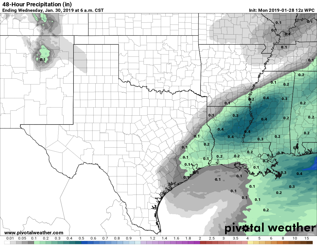
A cold front will push through the region tonight, bringing a broken line of showers and perhaps a few thunderstorms. The front should reach the College Station area between 6pm and 9pm, push through Houston between 8pm and 11pm, and move off the coast by around midnight. Light to moderate showers could linger behind the front for an hour or two, but drier (and colder) air should quickly move in after the front’s passage. Due to the overall atmospheric setup, and fast-moving nature of the front, I would not expect more than one- to two-tenths of an inch of rain for most.

Tuesday
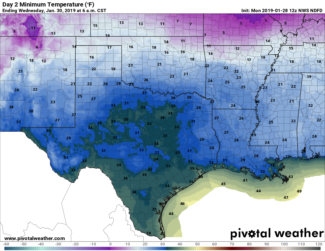
Tuesday morning is going to be cold. With winds gusting up to 25mph, and temperatures falling to freezing north of Houston and near freezing in the city, we are going to see wind-chill temperatures in the 20s. Be sure you’re ready for that cold blast when you head out of doors on Tuesday. Daytime highs are likely to only get into the upper 40s under sunny skies. Lows Tuesday night will again be near or at freezing levels in the Houston region.
Wednesday
By Wednesday the onshore flow should start to kick back in, and we’ll see a partly to mostly cloudy day with highs in the mid- to upper-50s. Lows will get into the 40s.
Thursday and Friday
Building southerly winds will bring moister, and eventually warmer air into the region. Highs should rise from about 60 degrees on Thursday to 70 on Friday, even with mostly cloudy skies.
Rain chances increase on Friday and Friday night as an upper-level storm system moves in from the west. We should see accumulations on the order of 1 inch of rain, give or take, from roughly Friday morning through Saturday morning.
Saturday, Sunday, and next week
Rain chances linger through the weekend without a front to clear us out. This puts us under partly to mostly cloudy skies, with highs in the low 70s, and perhaps 30 percent rain chances each day this weekend. At this point, the weekend doesn’t look ideal—but it’s far from a washout. The next real chance of a front will come around Tuesday or Wednesday of next week.
By Felicia.
I have trees budding and blooming already. 😎
Me too.
Would you mind commenting on the rain in general for the past two months. Have we seen more than average or have amounts been normal? Thank you
“December finished with about twice as much rain as normal for most of the region, and January is well ahead of normal as well. (The map below shows percent of normal rainfall for Texas over the last 60 days.” ~ Eric Berger
Hi Melissa, see Eric’s archive post from 24 Jan “After a wet winter” – it includes a cool chart that covers that
~Pete
Historically, for us flower gardeners, what can we expect to be the date of the last frost in inner city Houston?
I’d have high confidence (90 percent) in no frost after March 1.
We should be well past the mean, right?
On January 24th you said we would have drier weather for “awhile”. It rained here Saturday night, and apparently it’s going to rain more again this week. Two (2) days is not my idea of “awhile”. Awhile is more like a few weeks. And frankly, I would like to see it stop raining for a few months. My pasture is nothing but mud, and it’s already going to cost me thousands and thousands of dollars to fix it. This ongoing deluge has destroyed the hay crop and hay is now extremely costly and hard to find. The ruts in the mud are so deep that my truck, with 20s on it, is bottoming out. First the mud took my pasture, not it wants my truck. I need drought! Please don’t get my hopes up by saying it’s going to dry out for “awhile” only to have it rain again in a couple of days.
I bet you are real fun at parties…..
Be careful what you wish for and NEVER wish for a drought, never ever.
truer words were never spoken….
They can’t control the weather, only report it to the best of their abilities.
Any reports of caravans of refugees converging on SE Texas from up North?
Forecast Wednesday morning temps from WUnderground:
Minneapolis: -24 F (temperature) -47F (wind chill)
Chicago: -18F (temp ) -44F (windchill)
Cincinnati: 1F (temp) -20F (windchill)
I may be having out of town visitors showing up tomorrow!
Thank you so much. You are always right concerning the weather.