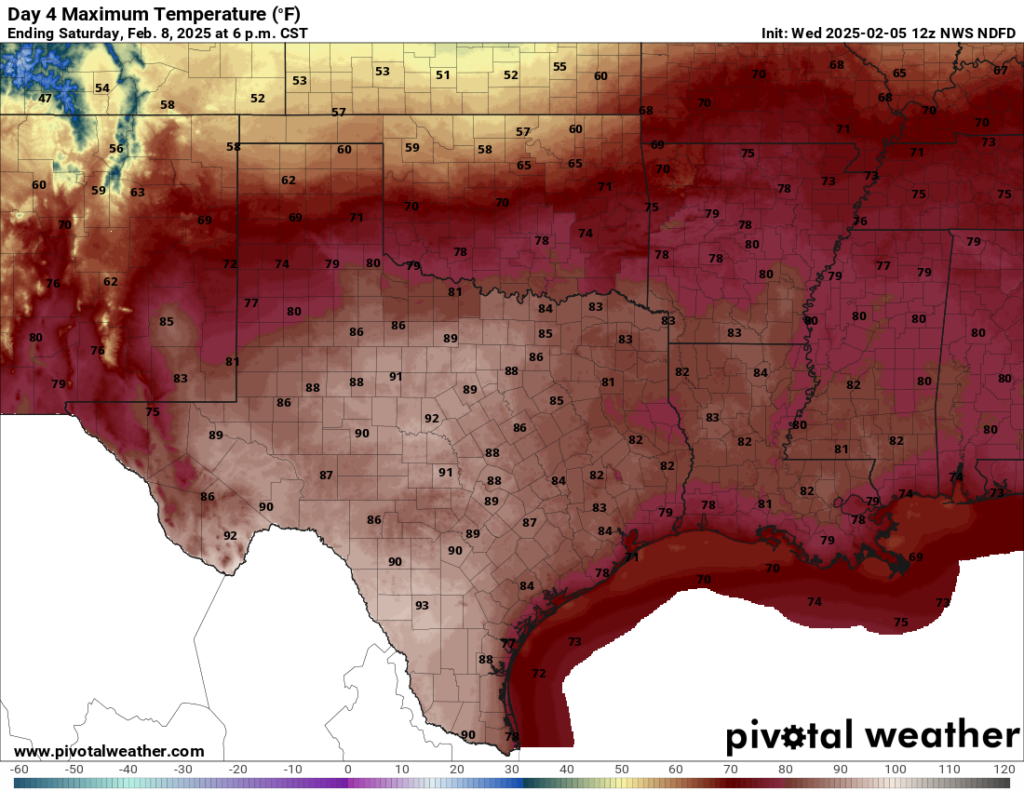
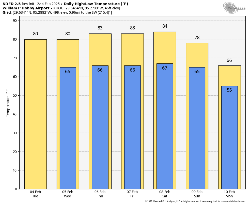
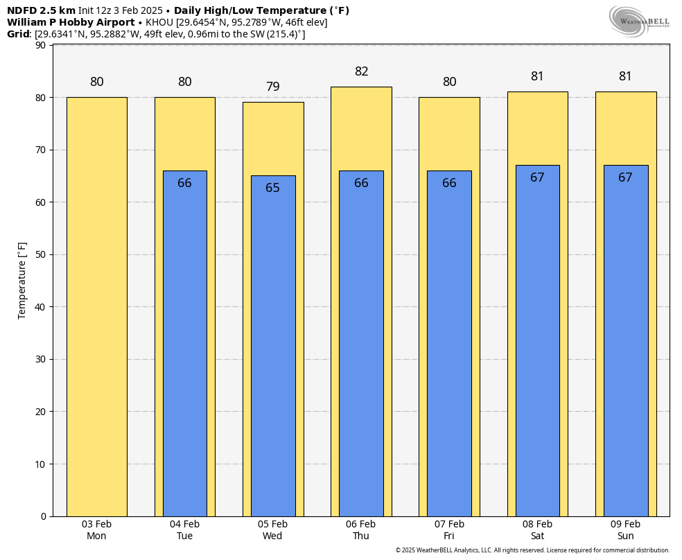
In brief: Houston’s above-normal temperatures will continue through the weekend, as we feel like late spring outside. A weak front approaches the area on Sunday, but significantly cooler weather will not arrive until some time next week.
Thursday
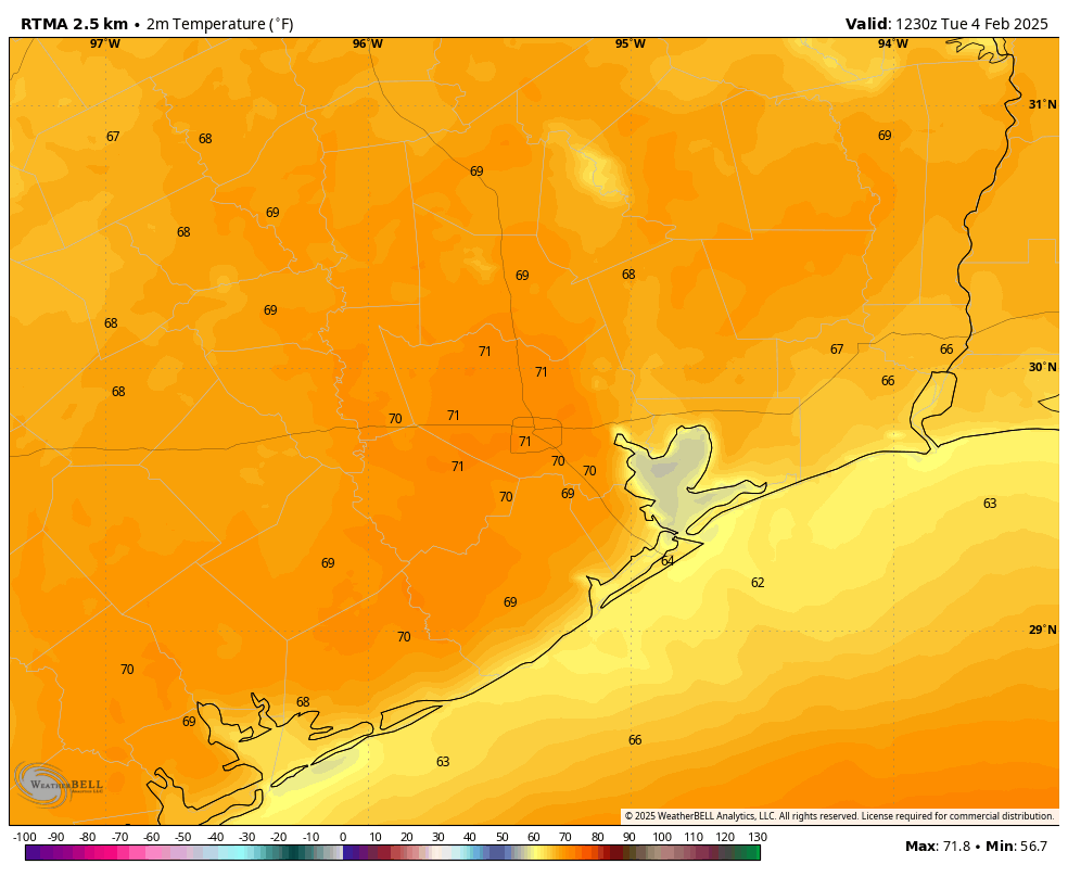
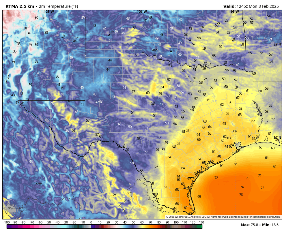
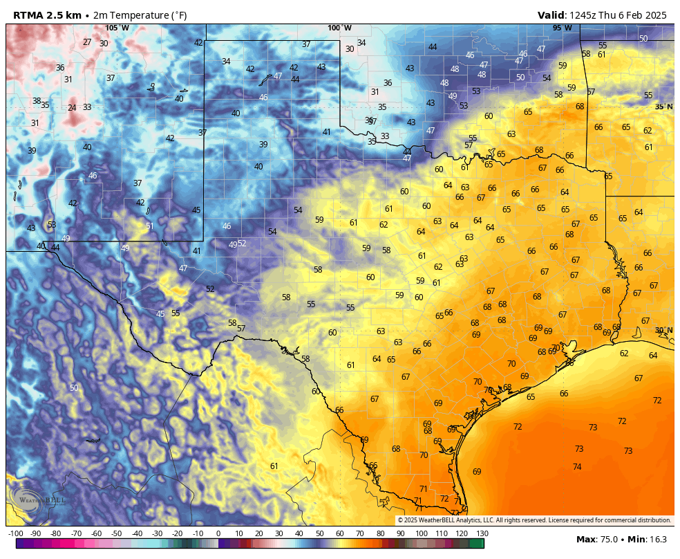
We’re seeing additional areas of patchy fog this morning, due to warm air moving over coastal waters, and this pattern is likely to continue through at least Saturday morning. Once the fog dissipates, we’ll experience mostly sunny skies and another warm day, with high temperatures in the low 80s. If you’re wondering whether this is normal for early February, no it is not. These high temperatures are characteristic of late April, and our overnight lows of early May. Winds will generally be light today, from the south at 5 to 10 mph. Lows tonight will only drop into the mid-60s for most locations.
Friday
Good news: If you liked Thursday’s weather, Friday will be a carbon copy.
Saturday
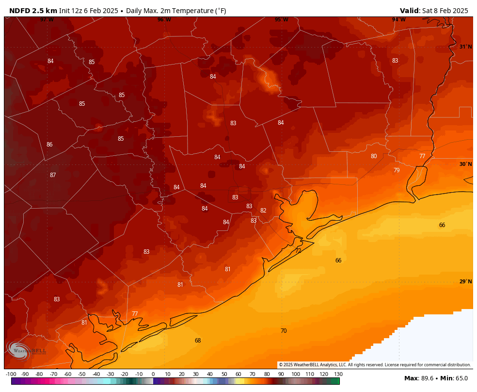
The first half of the weekend will be quite warm, with high temperatures likely pushing into the mid-80s for areas away from the coast. We will see a mixture of sunshine and clouds, and lows only dropping into the upper 60s. If you have outdoor plans on Saturday there are few concerns aside from the warmer-than-normal conditions.
Sunday
A fairly weak front will approach the Houston area and then stall out on Sunday. Precisely what this means for our weather is not certain, but I think we’ll probably just see a few degrees knocked off of high temperatures. I’m thinking highs in the upper 70s for most of Houston, with partly sunny skies. Given the proximity of the front, we cannot entirely rule out a few sprinkles, but I think we’ll be mostly rain free. Sunday night may be a few degrees cooler.
Next week
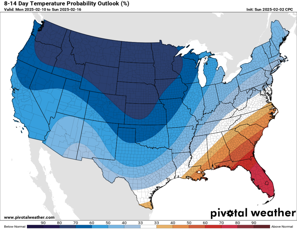
We’re probably going to start off next week in the 70s, and we’ll likely see daily rain chances on the order of 30 to 40 percent as the atmosphere becomes a bit more turbulent due to some upper-level disturbances. Eventually this is likely to bring in some cooler and more seasonable air, but whether that happens on Tuesday or Wednesday, or a bit later in the week is yet to be determined. We shall see.