Summary: The hard freezes are over, and Houston will have a pleasant, mild, and partly sunny day today. But after that? We’re going to cool back down again for the weekend, and then next week we’ll see widespread rain showers with the threat of heavy rainfall.
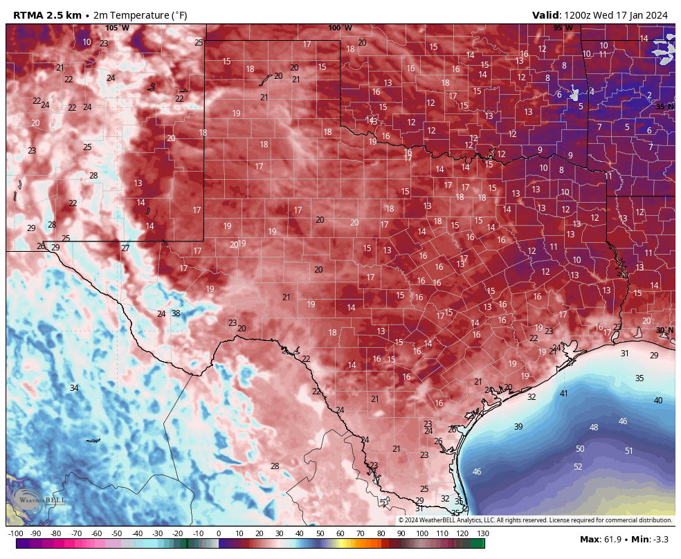
Recapping this week’s cold weather
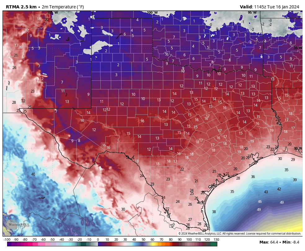
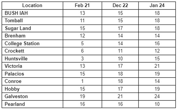
Very hard freezes are supposed to be rather uncommon in Southeast Texas, but our region has now experienced three during the last four winters, in February 2021, December 2022, and January 2024. The worst of these was in 2021, when the cold was its sharpest, and most prolonged, with a winter storm on top of it. But the other two cold snaps, including this week, were significant. Here, via Harris County Flood Control District’s Jeff Linder, is a comparison of the coldest temperatures during each freeze:
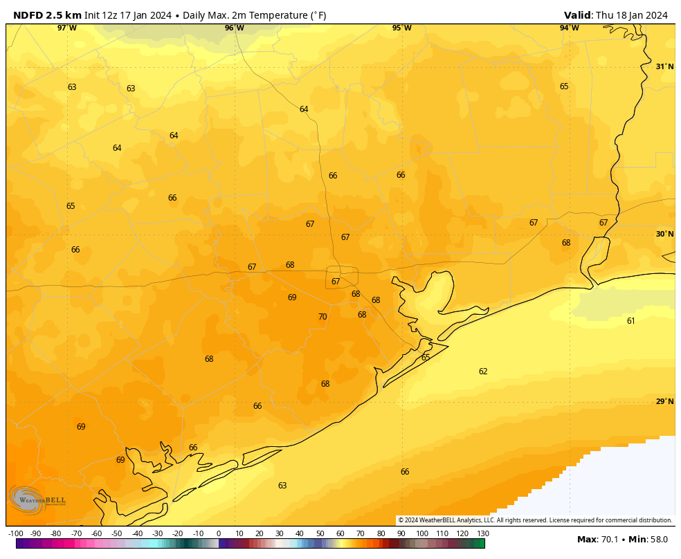
Thursday
The combination of light winds and temperatures matching dewpoints has led to foggy conditions across much of the metro area this morning. This should dissipate by around 9 am, but until then please exercise some caution on roadways. Some very light drizzle is also possible this morning.
Winds will increase later this morning, and this southerly flow will help push temperatures into the upper 60s. Skies should be partly sunny, making for a rather nice afternoon. However a fairly robust cold front will sweep into Houston tonight, likely after midnight, to bring a new round of chilly air. Lows drop to around 40 degrees by Friday morning.
Friday
This will be a sunny, breezy, and cool day. Look for highs to reach the lower 50s. Winds will peak during the morning hours, with gusts up to about 30 mph possible as the front blows in. These should subside somewhat during the afternoon, with mostly sunny skies. We’ll see ideal conditions for cooling overnight, and much of the metro area could see a light freeze.
Saturday
This will be a chilly day, with highs in the 40s and partly sunny skies. Lows on Saturday night will probably be a touch warmer than Friday night, but a light freeze will again be possible in parts of the area.
Sunday
Clouds return by Sunday, and they’re going to stay awhile. This will be another chilly day, although highs should get into the low 50s. Some light rain showers will be possible later in the day, but for now I think they’ll hold off until overnight when temperatures drop into the 40s.
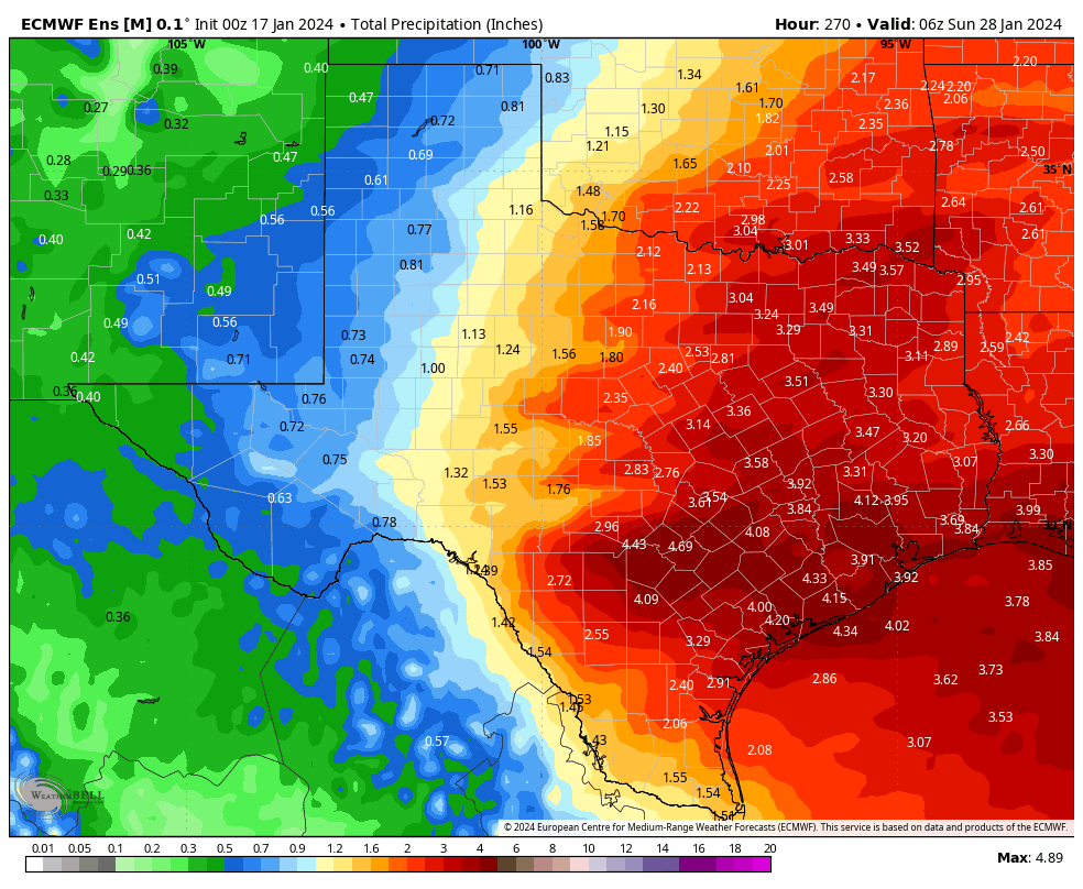
Next week
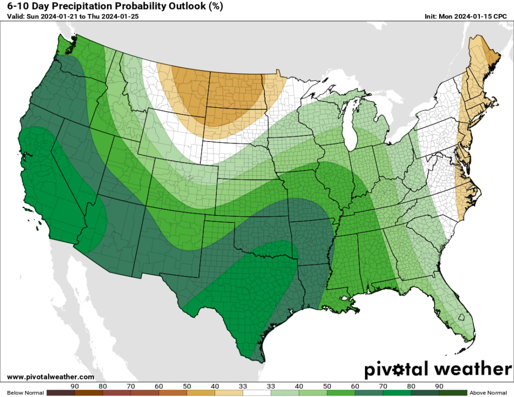
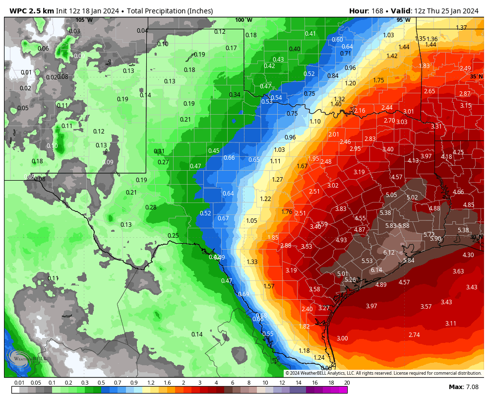
Most of next week looks warm and wet, with highs in the vicinity of 70 degrees, and nights perhaps in the upper 50s. As a series of disturbances cross Texas and meet with a favorably moist atmosphere, we’re going to see a fair amount of rainfall. I still don’t feel overly confident in totals, but I think much of the area probably will see on the order of 2 to 8 inches through Friday. Whether all of this comes in bunches, and we have to worry about flooding, is another matter. In any case, prepare for a significant pattern change that will bring a new round of concerns beginning next Monday or so.