In brief: After a few calmer days, the potential for rainfall, and possibly some stronger thunderstorms, returns to Houston on Friday and Saturday. The storms will be hit or miss, but worth looking out for. Expect hotter and sunnier conditions on Sunday before a slightly cooler start to next week.
Overall setup
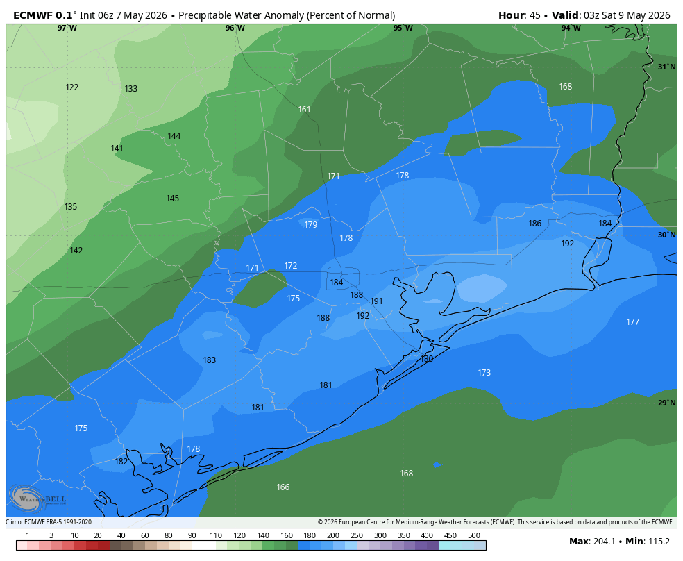
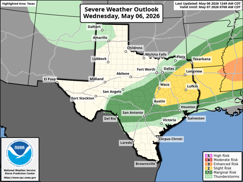
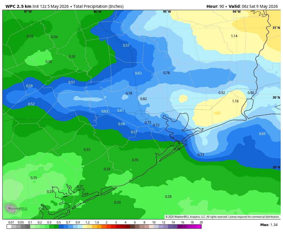
The atmosphere will become more favorable for showers and thunderstorms beginning today, with plenty of moisture and a series of disturbances. But unlike some of our recent rainy patterns, this one will produce much more scattered activity rather than widespread activity. Nevertheless, it is worth paying attention to as showers and thunderstorms could become briefly intense. In terms of rainfall accumulations, I think they will be widely variable, with some locations picking up a tenth of an inch or two, and others up to an inch or two of rainfall. Bottom line: rainfall and storm disruptions are possible on Friday and Saturday, but they are far from guaranteed.
Friday
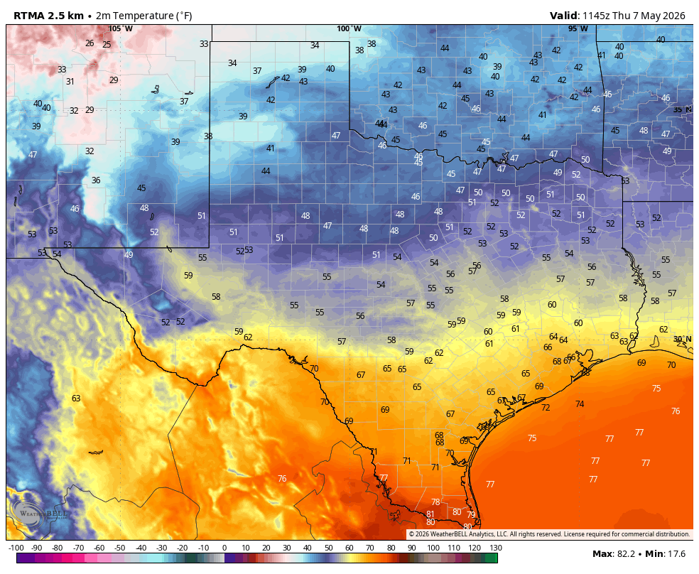
Conditions today will be mostly cloudy, with high temperatures ranging from the upper 70s to lower 80s, and light winds mostly from the southeast. We are seeing some storms north of Houston this morning, in places like Brenham, Navasota, and Willis. Some of our high-resolution modeling indicates the focus of this activity will shift to the south of I-10, closer to the coast, later today. I’m making no predictions with confidence. Rain chances continue overnight, with lows in the lower 70s.
Saturday
Rain chances on Saturday are, again, about 50 percent area-wide for much of the daytime and into the evening. We should see a little more sunshine, and this probably will allow high temperatures to reach the mid-80s. If you have outdoor plans they could be perfectly fine, but you should have a back-up option in case showers and thunderstorms quickly roll in. Rain chances slacken a bit overnight, heading into Sunday morning.

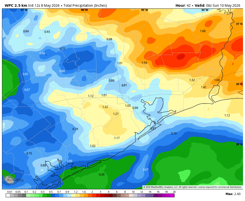
Sunday
Skies on Sunday should be mostly sunny, and this will be a warm to hot day in the upper 80s for the region. A few inland locations may touch 90 degrees. Rain chances are about 10 percent during the daytime, but will increase a bit later on Sunday evening and overnight as a weak front approaches the area.
Next week
The first half of next week will see moderately cooler and drier weather, with high temperatures in the mid-80s and low temperatures in the mid-60s. Skies will be partly to mostly sunny and the humidity will be slightly lower. This is by no means chilly weather, but compared to what is coming soon with Houston’s summer, it won’t be unpleasant at all—especially mornings and evenings. Houston probably will get back into the upper-80s by the middle of next week with more humid conditions. Overall, rain chances look to be pretty low until at least the end of next week.
We’ll be back with you on Monday morning, unless storm activity today or Saturday becomes more widespread and intense than we presently anticipate, in which case we’ll keep you updated.