Hi everyone! Just checking in on a Sunday to provide a heads up about the slightly faster timing of a robust cold front that is racing through Texas. It should pass through Houston and will be offshore a little after sunset. Temperatures with the front are trending a bit colder, and you’ll want to be prepared for that to start the week.
Timing
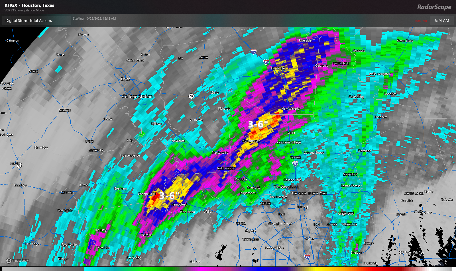
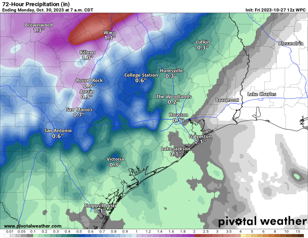
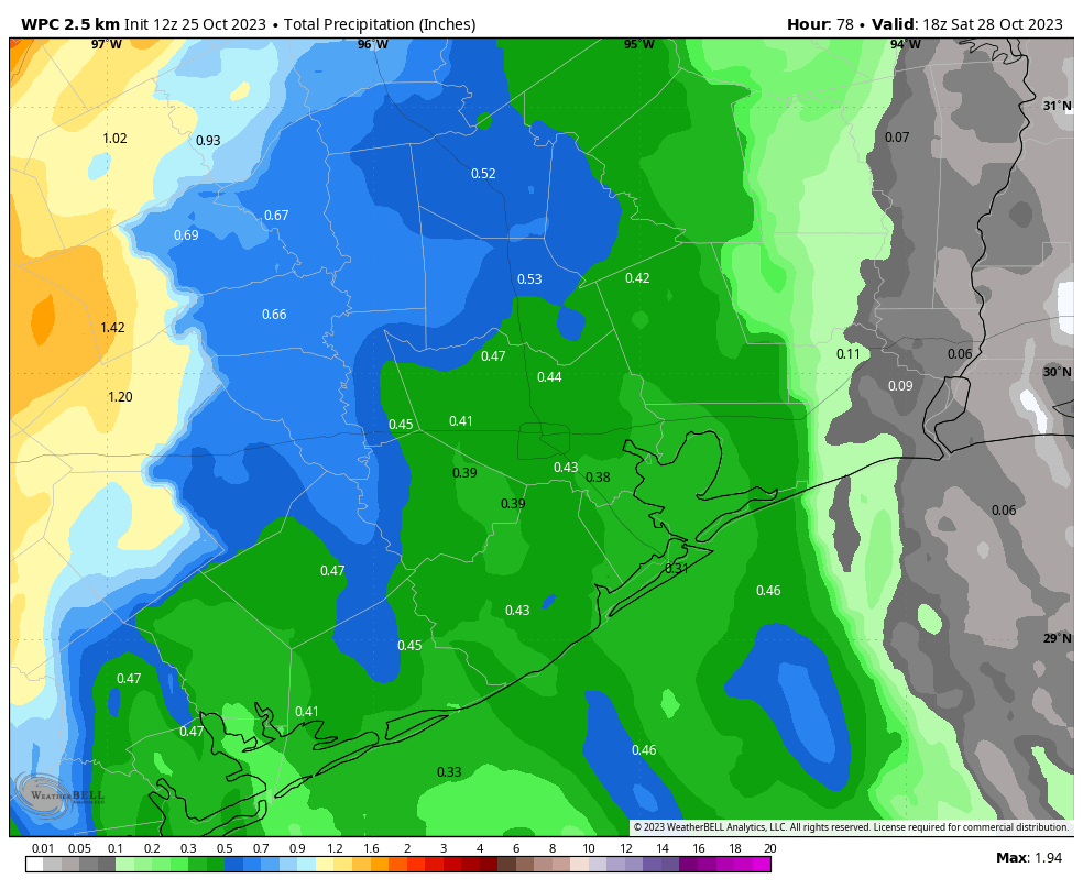
The front is already pushing into the far northwestern corner of the Houston metro area, having reached College Station at 10:30 am this morning. It should reach the central part of Houston, including downtown, between 4 and 6 pm today, and push off the coast by around 8 or 9 pm tonight. Temperatures will drop by around 15 degrees with the frontal passage, and should continue falling in its wake. Winds will be gusty with the front, and then should pick up during the overnight hours, bringing more colder and drier air to the region. Mostly light showers will be possible as the front comes through.
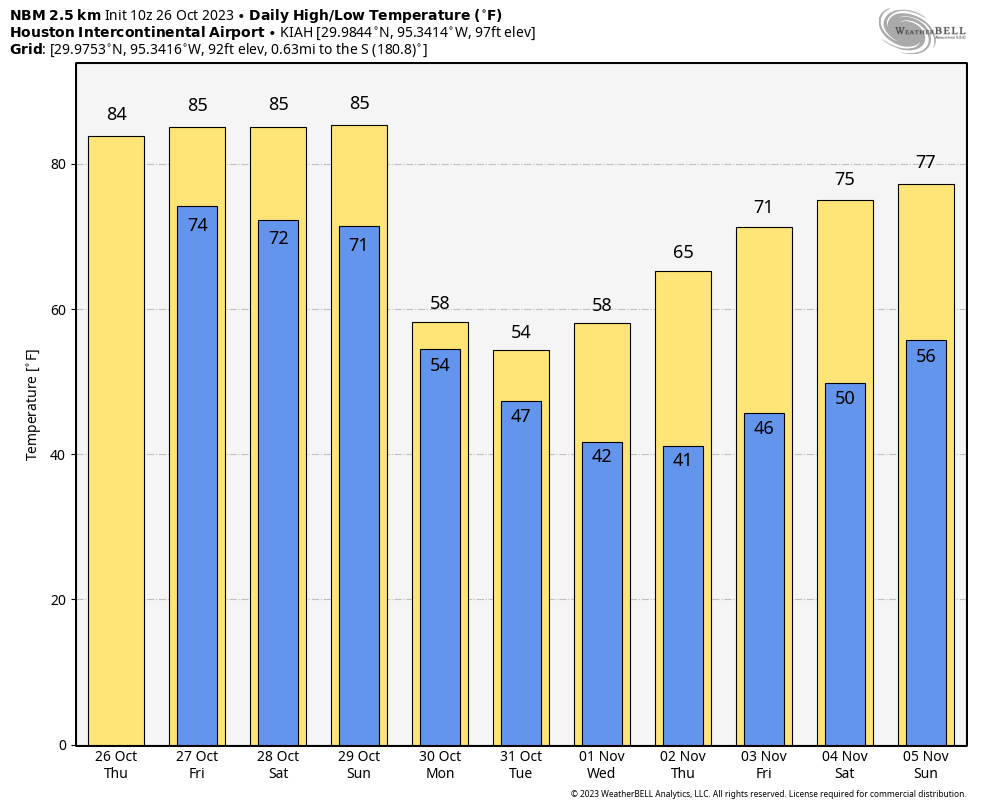
Monday will be rather cold!
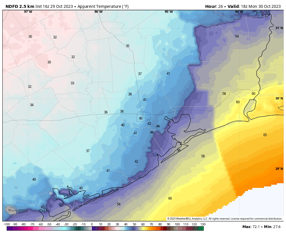
Wake-up temperatures for most of the area, away from the coast, are likely to be in the upper 40s. It is entirely possible that areas inland of Interstate 10 will not even reach 50 degrees on Monday, and when you combine that with winds gusting at 20 to 25 mph out of the north it is going to feel really brisk outside. Like, seriously, bundle up those kids for school please. Skies will be mostly cloudy, and a chance of light rain will persist throughout the daytime and evening hours. Lows on Monday night will drop into the mid-40s for most of the area, with the coast being slightly warmer.
Halloween
After a mostly cloudy start, we should see rain chances ending and skies clearing throughout the day on Tuesday. This will allow highs to reach into the mid-50s, but we’re going to continue to see breezy conditions with 20 or 25 mph gusts from the north. Temperatures will likely be about 50 degrees during the trick-or-treating hours, with overnight lows in the low 40s.
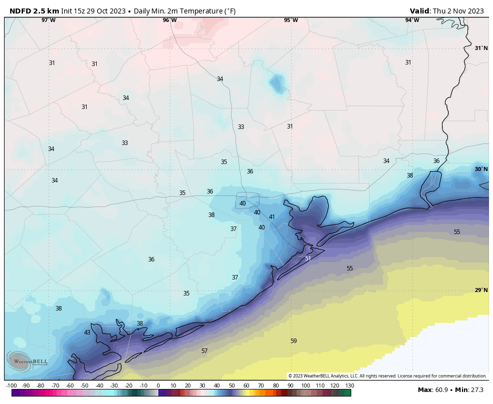
Rest of the week
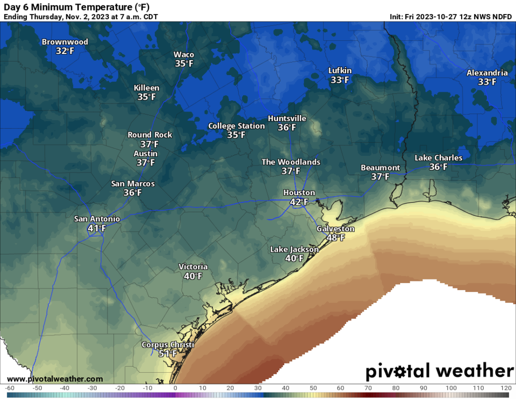
Cold conditions will stick around through Thursday, and Wednesday night should be the coldest of the week. Much of the Houston region is likely to drop into the upper 30s on Wednesday night as we see ideal cooling conditions with clear skies and light winds. A light freeze will be possible for areas at the northern periphery of the metro area. After this we’ll see a warming trend heading into the weekend.
We’ll have a full forecast update for you on Monday morning.