Good morning. Temperatures have generally fallen into the upper 60s across most of the metro area this morning, and we are experiencing but a small taste of the glorious fall weather ahead this weekend. The coolest weather will arrive on Saturday and Sunday, when overnight lows dip into the 50s for pretty much the entire area, with plenty of dry air to boot. In this post I’m also going to take an early look at weather conditions for an annular eclipse that will take place across Texas on October 14, during the late morning hours.
Friday
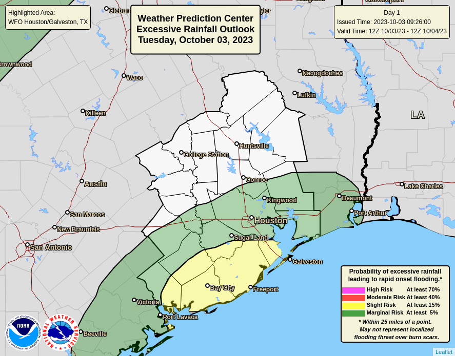
Expect partly sunny skies and high temperatures in the mid-80s today. Winds will come from the northeast at about 10 mph, with higher gusts. With dewpoints in the 60s the air will feel moderately drier, but not exactly fall-like. But don’t worry, that’s coming later with a reinforcing front on Friday night into Saturday. Rain chances are effectively zero, and will be that way at least through next Tuesday. Lows on Friday night will drop into the upper 60s for most.

Saturday
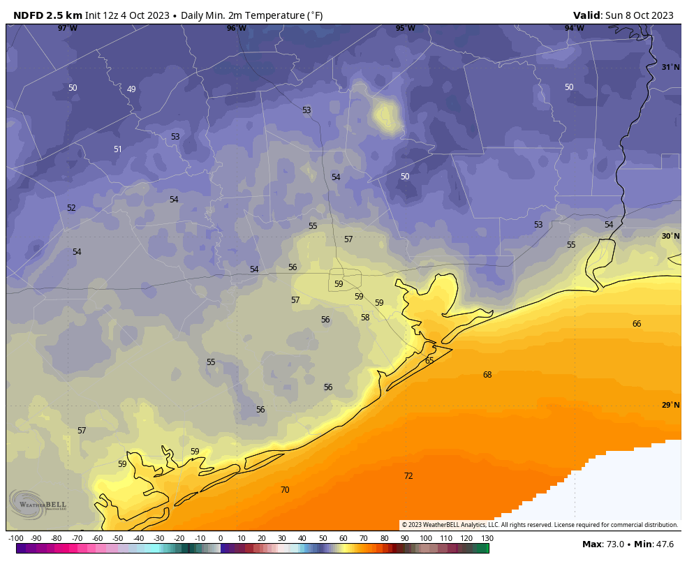
Saturday will be partly sunny and cooler, with highs generally in the mid-70s. Winds will be a bit gusty, perhaps reaching 20 mph at times from the north. Some clouds will remain overnight as low temperatures drop into the mid- to upper-50s for most of the region, with plenty of dry air.
Sunday
For those of us who can’t quite cotton summer weather in Houston, this will be the nicest day in at least five months. Look for sunny skies, highs in the mid-70s, dry air, and light winds. I mean, you can’t beat it. Lows on Sunday night should again drop into the upper 50s for most.
Next week
As the onshore flow resumes sometime on Sunday evening, or so, we’ll begin a gradual warming trend. Temperatures will be in the mid- to upper-80s for the most part next week, with mostly sunny skies. Some rain chances return by Wednesday, or so, likely influenced by tropical moisture from the Gulf of Mexico. This part of the forecast, and associated rain chances, are fairly vague. However I am fairly confident that another cold front will arrive later in the week, by Friday or so, to end the rain and bring cooler and drier air. Probably not quite as cool as this weekend, but still nice.
Annular eclipse
On Saturday October 14 an annular eclipse will appear over select regions of Oregon, Nevada, Utah, Arizona, New Mexico, and Texas. (A handy map can be found here). Houston lies just north of the area that will see the full annular eclipse, but still nearly 90 percent of the Sun will be covered just before noon. It will, briefly at least, feel notably cooler. An annular eclipse occurs when the Moon passes in front of the Sun, but does not block its entirety, leaving a ‘ring of fire’ in the sky. It is crucial to use solar eclipse glasses when viewing the Sun during the eclipse.
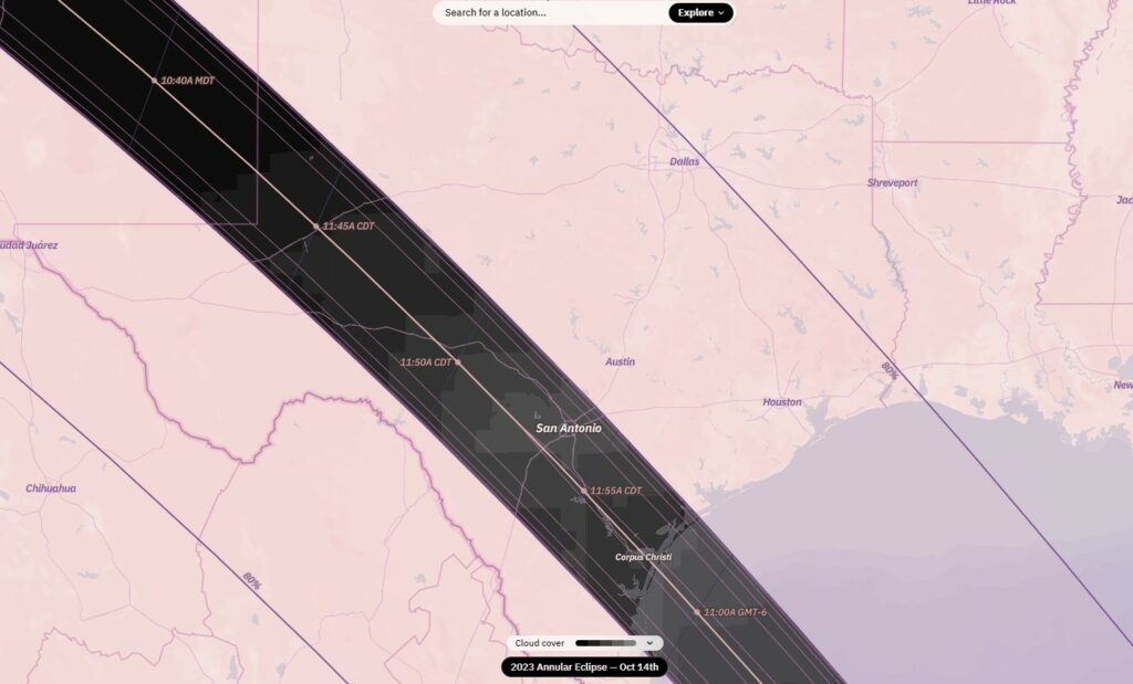
As I mentioned above, we should see a frontal passage on Friday-ish. If this does indeed occur, there is a high likelihood of clear skies for the annular eclipse in the Houston region. I would peg the likelihood at about 80 percent or greater, but we are far enough away that some uncertainty remains.