Good morning. I don’t want to provide false hope to anyone, but the reality of the matter is that by Sunday, conditions for our region will start to change and favor at least the possibility of some rain showers across the metro area. We’re also looking at temperatures in the upper 90s to 100s, rather than really crazy temperatures of 105 degrees or above. So, as we move into September, we probably should embrace the small victories.
Thursday
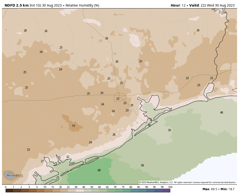
For now, there won’t be much change. After a weak front moved into the region earlier this week we’ve been seeing some drier air and it’s made for some decently nice evenings and mornings, with lower humidity and slightly lower temperatures. Daytimes remain really hot, but this is partly because dry air warms more quickly. We’ve been seeing some afternoon humidities in the 20 percents, and that should continue. Look for highs today to again be in the upper 90s to 100 degrees, with low humidity. Overnight lows should drop into the 70s, with light northeasterly winds. Skies will be sunny, and rain chances nil.
Friday
Another day a lot like Thursday. Humidity levels will be a bit higher, but not much. So for Houston, in summer, it will still feel pretty dry.
Saturday
This will be a bit of a transition day, with mostly sunny skies and our formerly northerly wind shifting to come from the east. This will help start to raise humidity levels. Coastal areas may see about a 20 percent chance of rain, but for most of us it’s just going to be hot and mostly sunny, with highs of around 100 degrees.
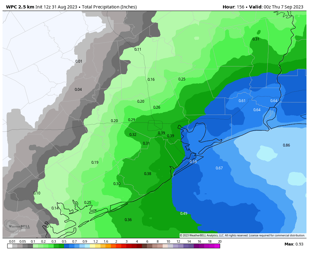
Sunday and Monday
It’s Labor Day weekend, so the majority of people reading this will have Monday off from work as well. (Don’t worry, we’ll still have a report for you on Monday). By Sunday we should see high pressure start to retreat well to the north, and this will open up our region to moisture from the Gulf of Mexico and the potential for rain showers on Sunday and Monday. I’ll put chances for both days at about 60 percent for areas along and southeast of Interstate 69/Highway 59; and 40 to 50 percent for areas further inland. In terms of accumulations, we’re probably looking at a few tenths of an inch, give or take. But I would say that is far from set in stone. When it’s not raining, and it certainly won’t be most of the time, we can expect mostly sunny skies and highs generally in the upper-90s.
Next week
Rain chances look to hold on through Wednesday, after which we may return to a mostly sunny pattern, with days in the upper 90s to about 100 degrees. There are still no indications of the season’s first real cold front, but it’s probably too early to have an expectation of one.
Tropics
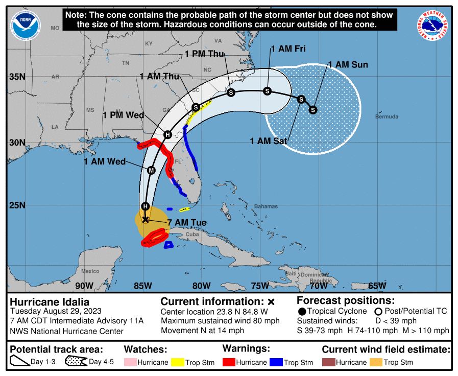
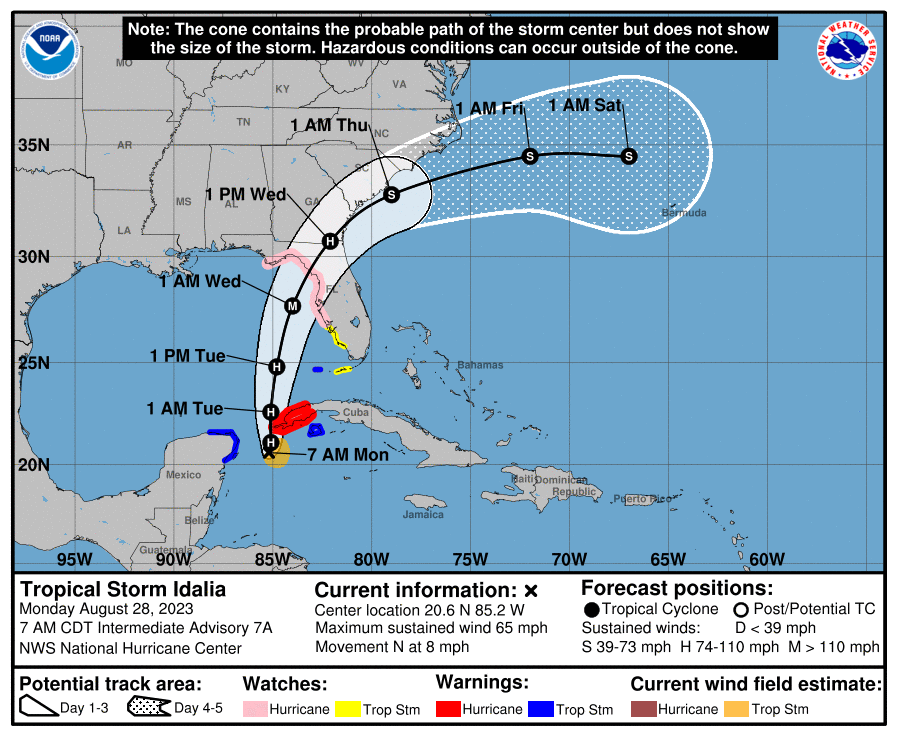
After ravaging the Big Bend area of Florida, as well as Georgia and parts of the Carolinas, Tropical Storm Idalia is moving into the Atlantic Ocean and away from the United States. Beyond that there is a lot of noise in the Atlantic Ocean, but nothing that really need concern us in Texas, or indeed, the rest of the United States. Full coverage of all of this can be found on The Eyewall.