In brief: In today’s post we discuss temperature trends so far this year as we look ahead to the warmest weather so far of 2026. Also, we help readers with the proper way to spell Presidents’ Day in Texas. It varies from state to state!
A warming trend on tap
The warmest day of 2026 occurred just a single day into the new year, back on January 2, when the high temperature in Houston peaked at 84 degrees. If you’ll recall, the entire first week of January was extraordinarily warm before a series of fronts culminated in an exceptionally cold end to the month. February, on average, has so far run about 5 degrees above normal. But we have yet to experience any days this month with a high temperature above 80 degrees. That will change this week, thanks to a persistent southerly flow of warmer air. Just how warm we get will depend upon cloud cover during the afternoon, but most locations should reach the mid-80s for a few days.
Monday
A lot of people have work off today due to Presidents’ Day, a holiday originally intended to celebrate the life and contributions of George Washington, which is marked on the third Monday of February. Different states celebrate and even spell it differently (it is Presidents’ Day in Texas by law), but regardless if you’re off today you’ll have some fine weather at your disposal. After a chilly start around 50 degrees in most locations, we’re going to rise into the lower 70s today with partly sunny skies. Winds will generally be light, from the southeast. Low temperatures tonight will be warmer, in the upper 50s in most locations.
Tuesday
We’ll see a more pronounced southerly flow by Tuesday, and this will start to bring humidity levels up further. High temperatures will range from the upper 70s to about 80 degrees, with partly to mostly sunny skies. Afternoon winds may gust up to 20 or 25 mph. Lows will only fall into the low- to mid-60s.
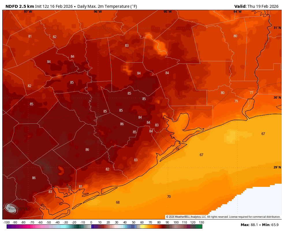
Wednesday, Thursday, and Friday
These will be the warmest days of the week (Thursday likely the warmest of all) with high temperatures ranging from around 80 degrees into the mid- (and possibly even upper-80s) across Houston. Actual highs will depend on how far you are from the coast (warmer) and how much cloud cover there is during the afternoon hours (cooler). Anyway it’s going to feel fairly warm and humid, with mild nights in the 60s. Some sort of front may arrive by Friday or so, brining a chance of rain. We’ll see.
Saturday and Sunday
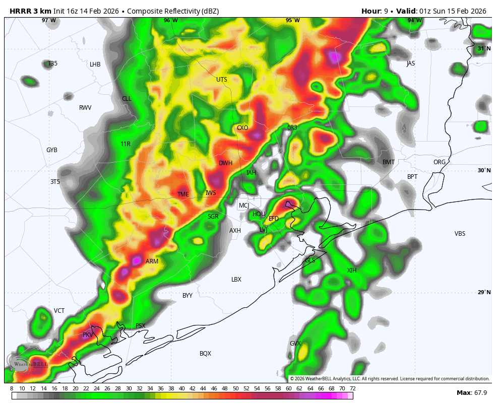
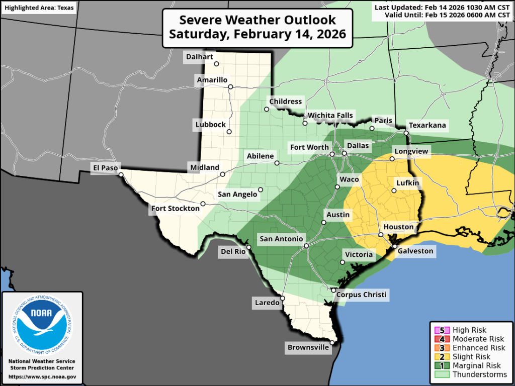
At some point we will see a decent front move in, perhaps with a delay in cooler and drier air afterward. Given uncertainty in the timing I can’t offer a firm prediction on this weekend’s weather yet. A reader mentioned that there’s a big custom car and truck show in Conroe this weekend, and I think the weather will generally be fair, with partly sunny skies, and highs in the 70s. At some point there may be a chance of rain associated with the front, although I don’t anticipate anything like we experienced with the storms that passed on Saturday evening. We’ll try to get you some better weekend details soon.
Next week
We should see a few cooler days to start next week, in the wake of this weekend’s front, before another warmup to around 80 degrees or so.