A final spring fling for Houston? Front to dump humidity this weekend

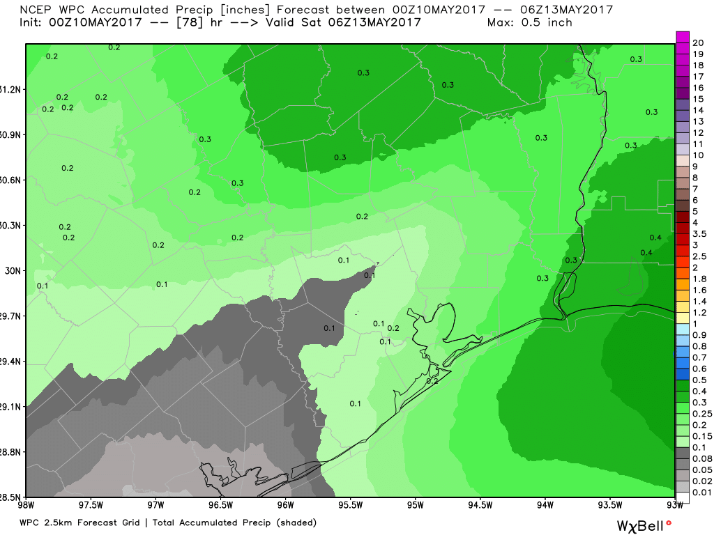
It is quite warm across the Houston region this morning, and the muggy air will hang around for about 24 hours longer before a front rolls through to bring a bit of a reprieve from the humidity. The key question is how much rain might accompany it (not much). As most of Houston has only received about 2 inches of rain, or less, during the last 40 days we could certainly use some precipitation.

Today

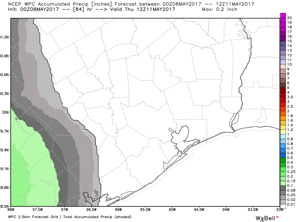
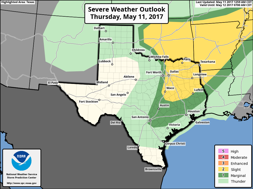
Some light showers have streamed across northern parts of Houston this morning (primarily in the Montgomery County area), and for the most part I don’t see any rain falling in the city itself this morning. Some rain chances will linger into this afternoon, with thunderstorms possible if the cap over the region can be broken. Again, chances for this appear to be best north of the city. Otherwise, look for highs in the mid-80s with mostly cloudy skies.

Severe storms are possible north of Houston on Thursday afternoon and evening. (NOAA)

(Space City Weather is sponsored this month by Jetco Delivery)

See full post

Scattered rain possible this week before a front dries out the weekend

Good morning. Houston’s relatively mild weather for May will continue for awhile thanks to a front this week, and frankly we should savor these days as summer looms just around the corner.

Today

A few stray showers passed across Houston on Tuesday, and we’ll probably see similar conditions today—which is to say mostly cloudy skies with a slight chance of brief showers. Clouds should help limit high temperatures to the mid-80s, which is near normal for this time of year. Overnight temperatures remain warm and humid.

Thursday and Friday

Rain chances will increase marginally on toward the end of the work week as an upper-level low pressure system moves across the United States, and pushes a late season cold front through Texas. This will perturb our moist atmosphere enough such that we could squeeze out some rain showers ahead of the front on Thursday, and with its passage on Friday by or before noon. Amounts won’t be significant, with totals likely around one to two tenths of an inch for areas that do get rain. Highs on Thursday and Friday will likely reach the mid- to upper-80s.

Expect only moderate rainfall, if any, with a front this week. (NOAA/Weather Bell)

(Space City Weather is sponsored this month by Jetco Delivery)

See full post

Mild spring weather to continue for Houston

This morning will feel several degrees warmer across Houston, with temperatures in the mid- to upper-60s across the region, and this is pretty typical weather for early- to mid-May. We’ll now warm up some.

Tuesday and Wednesday

Atmospheric moisture levels are starting to recover, and as a result we’re going to see rising humidity levels during the next couple of days, but high temperatures should remain moderate in the mid-80s. While there is enough moisture to squeeze out some showers, I think they’ll probably remain isolated today and Wednesday, with the best chances south and west of the Houston metro area.

Thursday and Friday

By Thursday morning enough moisture will have moved inland that we could see some scattered showers, likely during the morning hours. But this rain will be nothing to write home about—I’m not expecting significant accumulations. Otherwise, Thursday should be a partly to mostly sunny day with highs in the mid-80s.

(Space City Weather is sponsored this month by Jetco Delivery)

See full post

After a spectacular May weekend, Houston may just have another

Following a rare, exceptional May weekend Houston will warm up some in the days ahead, and the humidity will return—but we just might be in luck with some more great weather next weekend thanks to another front.

Today

It’s a pleasant morning across Houston, with lows ranging from about 60 degrees up north to the mid-60s closer to the coast. Unfortunately, the upper air pattern that helped keep drier air over the Houston region has unfortunately moved off to the east, and this has opened up a more southerly flow of moist air off the Gulf. This will bring clouds and humidity back to the area, beginning today. Expect highs today in the mid-80s (even possibly upper 80s in some areas), with lows tonight only reaching the upper 60s. This is more typical weather for May than what we had this past weekend.

Any rain through mid-week in Houston is most likely to the southwest of the city. (Weather Bell)

Tuesday and Wednesday

Highs will continue in the mid- to upper-80s, with nighttime temperatures only falling to around 70 degrees. As moisture levels rise we’re also going to see a chance of rain return to the forecast, but only just barely. Right now it looks like the best chance for some isolated rain showers will come to the southwest of Houston, down the coast, where the atmosphere will be more moist.

(Space City Weather is sponsored this month by Jetco Delivery)

See full post