In brief: In today’s update we discuss the season’s first real fall-like front, arriving Tuesday evening with the potential for some brief showers and thunderstorms. The city will then see its coldest weather in 200 days, along with ideal weather for Halloween. We’ve waited a long time for this, so enjoy!
Fall Day recap
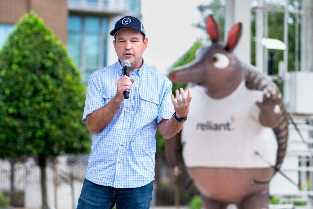
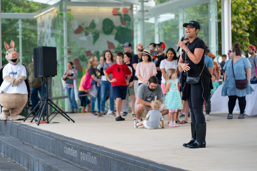
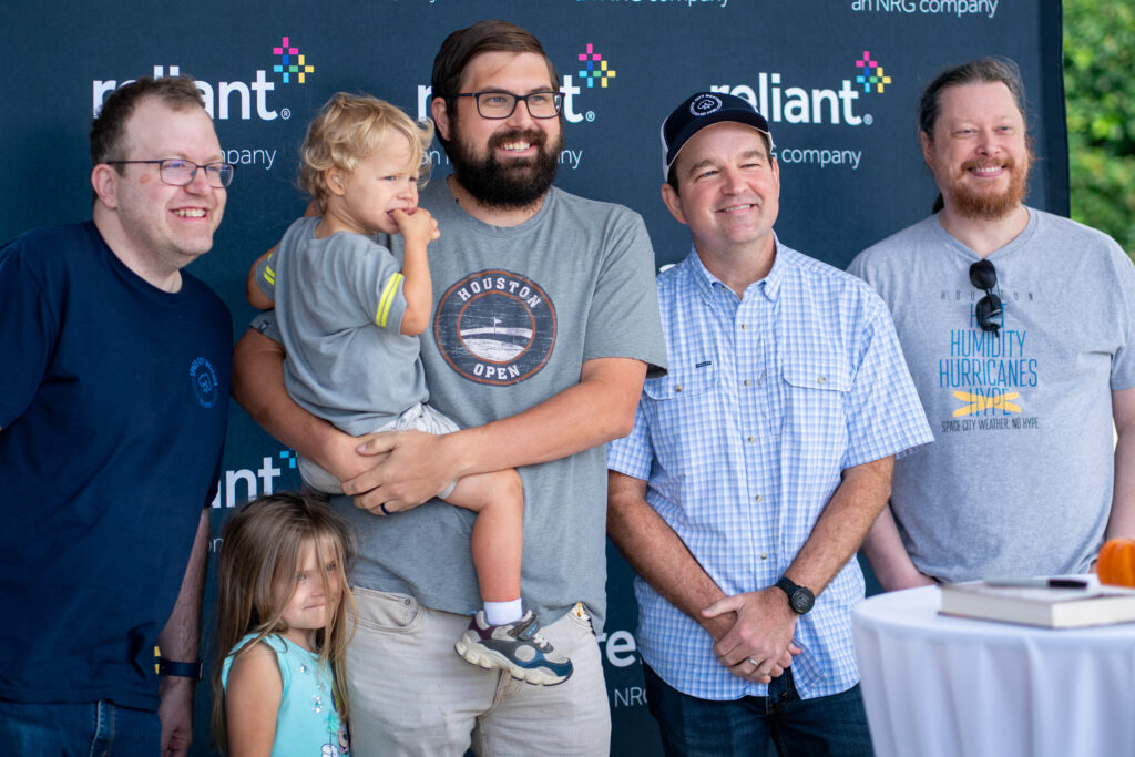
Thank you to everyone who came out to see Matt, Lee, and myself on Fall Day Saturday at Midtown Park. I’ll be honest, it took a little faith to schedule an outdoor event on a day with a 100 percent chance of rain, but in the end the weather was exceptional. And we had a lot to celebrate. Not only did the region get the drenching rains it needed early on Saturday, we have the region’s first real fall front to look forward to this week (more below). Anyway, it was so nice to meet you all, and say hello. Thanks to Reliant for setting up, and Michael Chu for the great photos.

Monday
Temperatures this morning have a bit of a chill, having dropped to around 60 degrees for most of the area away from the coast. Temperatures will recover quickly into the mid-80s today, with mostly sunny skies, and a light south-southwest wind. Lows tonight will only drop into the upper 60s.
Tuesday
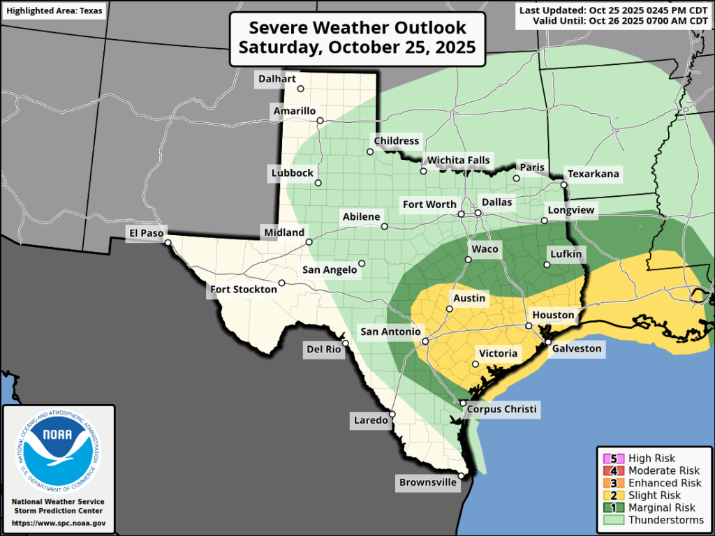
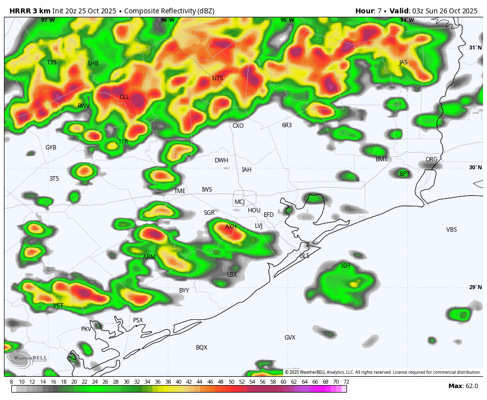
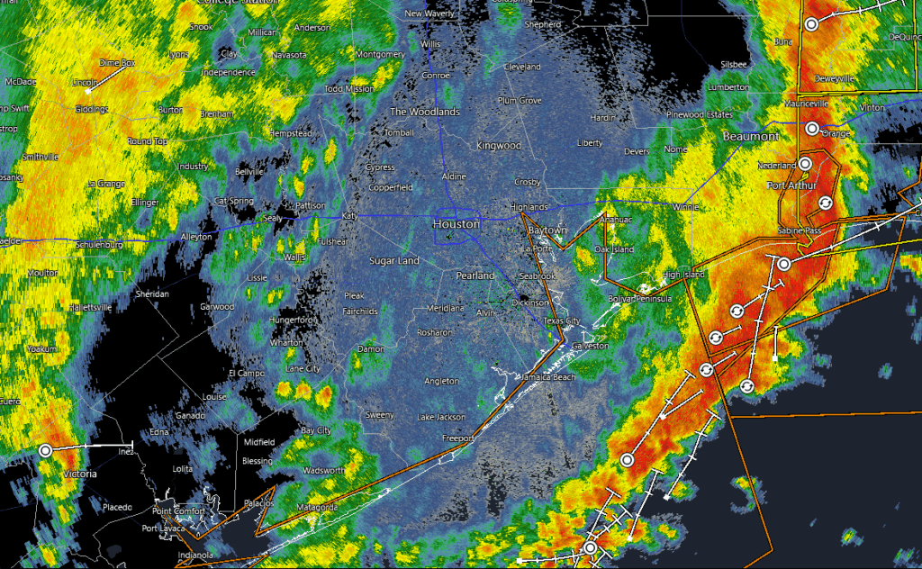
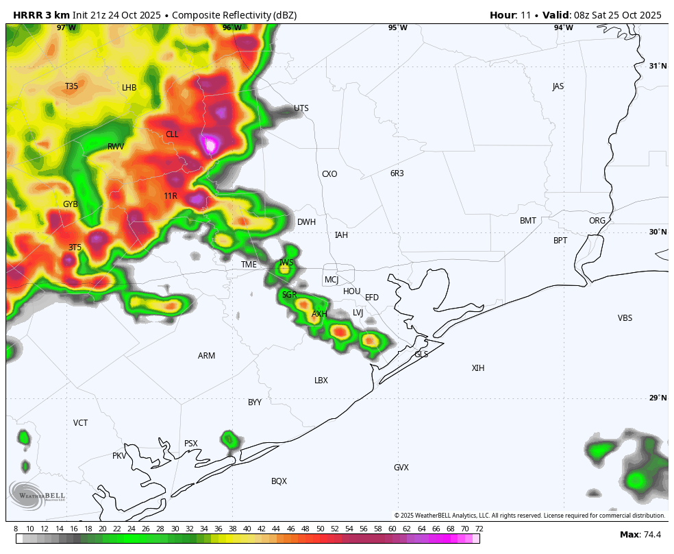
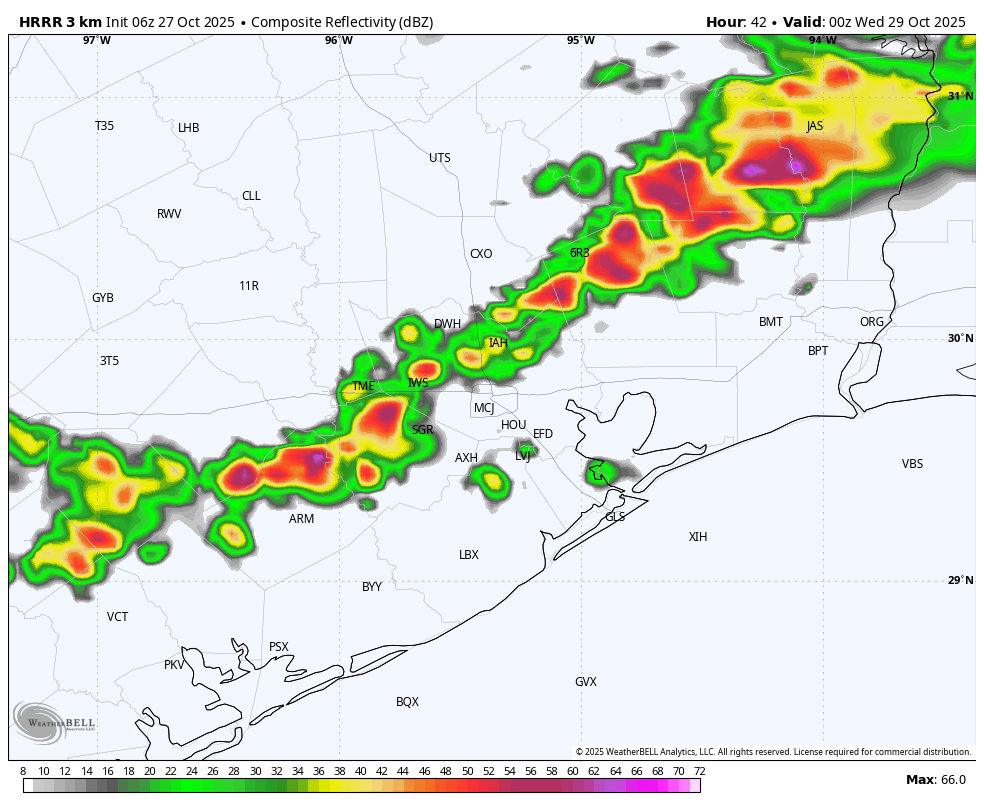
This will be a warm and humid day, with high temperatures reaching the mid- to upper-80s for most. However by late afternoon or early evening we should see a (broken, maybe?) line of showers and thunderstorms advance through the area ahead of a cold front. Some of our latest high resolution modeling is showing this line to be a little more robust than expected, but I want to see a little more atmospheric data before making this conclusion. Anyway, drier air will rapidly filter in on Tuesday night after the front, with lows dropping into the 50s.
Wednesday
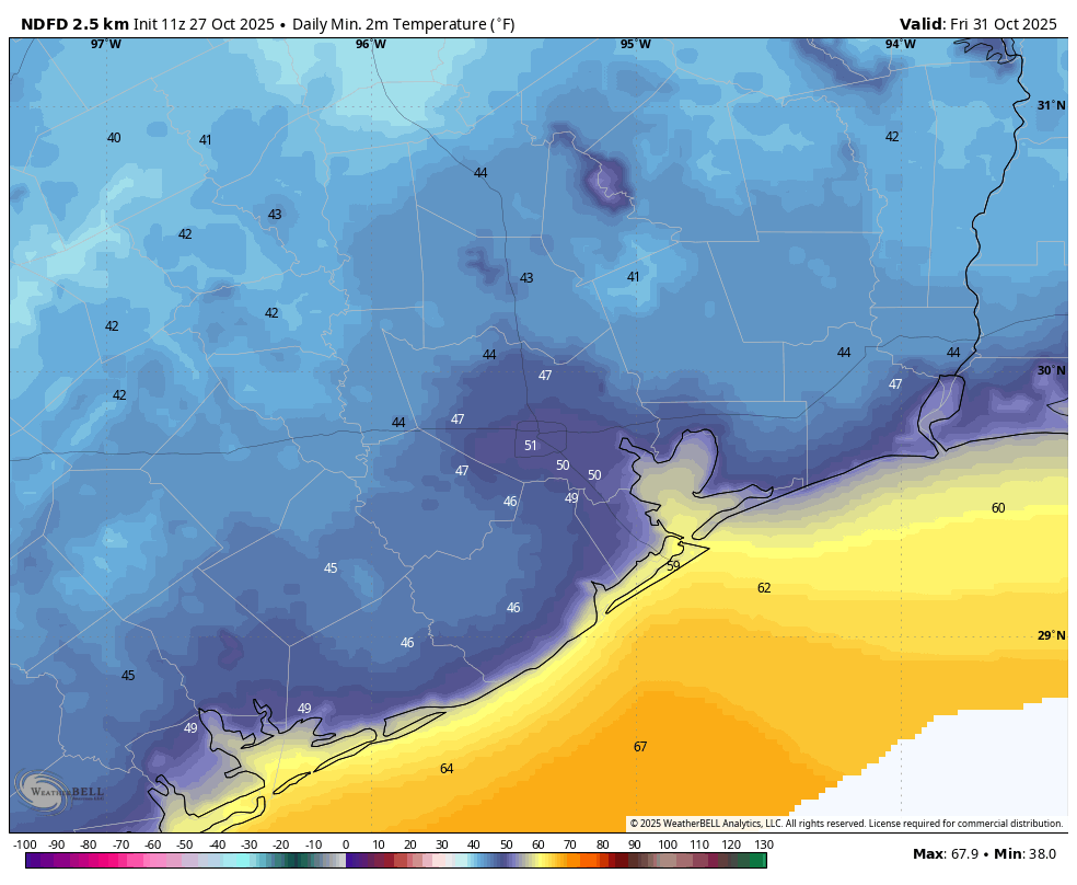
What a change this day will bring. It will be windy, with gusts from the northwest up to 30 or even 35 mph. Highs are likely to only reach the upper 60s despite sunny skies. Lows on Wednesday night will drop to around 50 degrees in Houston, with cooler conditions for areas outside the urban core. The city will likely record its first sub-50 degree day since April 9 (which is 200 days ago, as of my writing this) at Bush Intercontinental Airport. So it has been a long time since the region has felt this chilly.
Thursday
Expect a sunny, pleasant day with light winds and highs around 70 degrees. I expect temperatures on Thursday night to even be a touch cooler than Wednesday night.
Halloween
This will be a sunny day, with highs in the low 70s and low humidity. Winds will be light, with trick-or-treating temperatures during the evening hours in the 60s. Overnight lows drop into the 50s.
Saturday and Sunday
It will be a partly to mostly sunny weekend with highs in the upper 70s to 80 degrees, and nights generally in the upper 50s. Humidity will be on the rise, but it still won’t feel particularly humid outside. In short, it should be fantastic weekend.
Next week
It’s possible that we could see another (weaker) front early next week to keep temperatures on the cooler side, but there is no definitive clear pattern yet.