Last night at about 10:30pm, as the winds roared outside and you could just feel the cold moving in to Houston, my wife turned to me and said, “I’m so tired of winter. When is it going to warm up?” I’ll have some more words on this later in the post, but the short answer is that the second half of this month does appear likely to be noticeably warmer than our cold start to 2018.
Friday
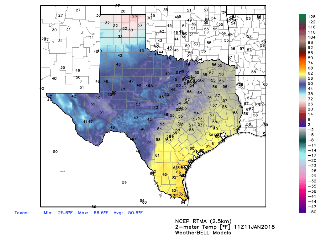
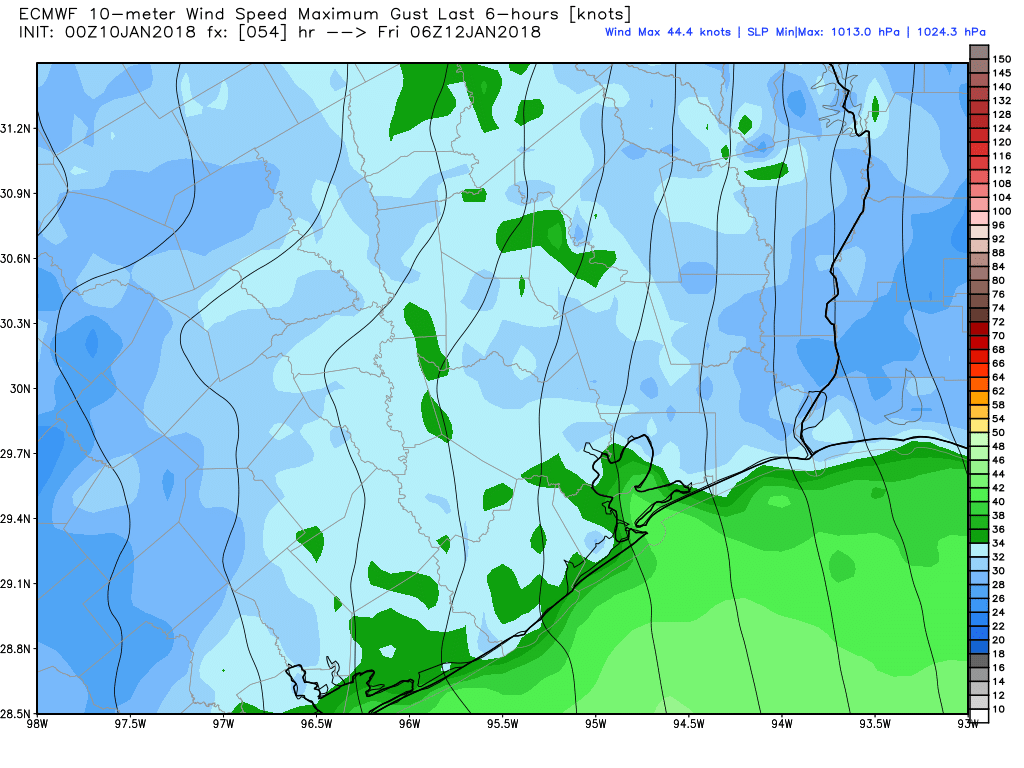
Cold air will continue to blow into Houston today, but the winds won’t be quite so fierce as they were Thursday evening. Intercontinental Airport reported gusts of 38mph, with Galveston reaching 41mph, and College Station recording a gust of 45mph. Today wind gusts should remain in the 20s. Even so, it will be cold, with high temperatures struggling to reach 50 degrees under sunny skies. Lows tonight will be at or just above freezing in Houston, with a light freeze north of the city.
Saturday and Sunday
After the winds finally die down later on Friday, we’re going to be left with just cold, sunny weather. High temperatures on both Saturday and Sunday will only reach about 50 degrees, and Saturday night should see a freeze over the northern half of the region, with temperatures in the mid-20s over some places like Montgomery County.