It’s quite warm this morning across Houston, with low temperatures only falling into the mid-60s for most of the area. But don’t let that fool you—a strong cold front will blow through the area today and change our weather through the weekend.
Thursday
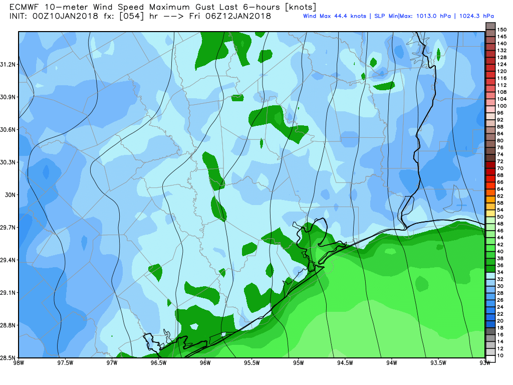
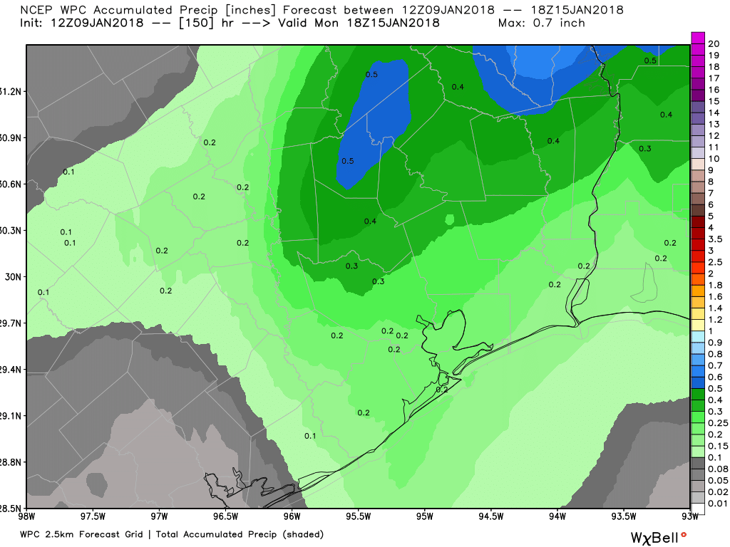
Our muggy (for winter) conditions will prevail this morning, allowing high temperatures to likely rise into the low 70s for much of Houston. However, a line of showers will develop later this morning, and move through the region between about 10am and 2pm, with the cold front at the back end of these showers. Most areas shouldn’t see more than a tenth or two of an inch of rain as the storms move through fairly quickly. In their wake we’ll be left will very blustery conditions, as gusts may rise to about 30mph this afternoon and evening. (A Gale Warning is in effect for offshore, where seas will be rough. This afternoon and this evening would be a very bad time to take the boat out.) All of this should lead to a chilly night, with a light freeze for the northern half of Houston, and wind chills down in the 20s.