As Eric noted this morning, it looked possible that areas well north of Houston could see some ice pellets (sleet) mix in with the rain tonight. That continues to look like a possibility, and the forecast looks intriguing beyond tonight too. Let’s talk wintry weather chances.
Tonight
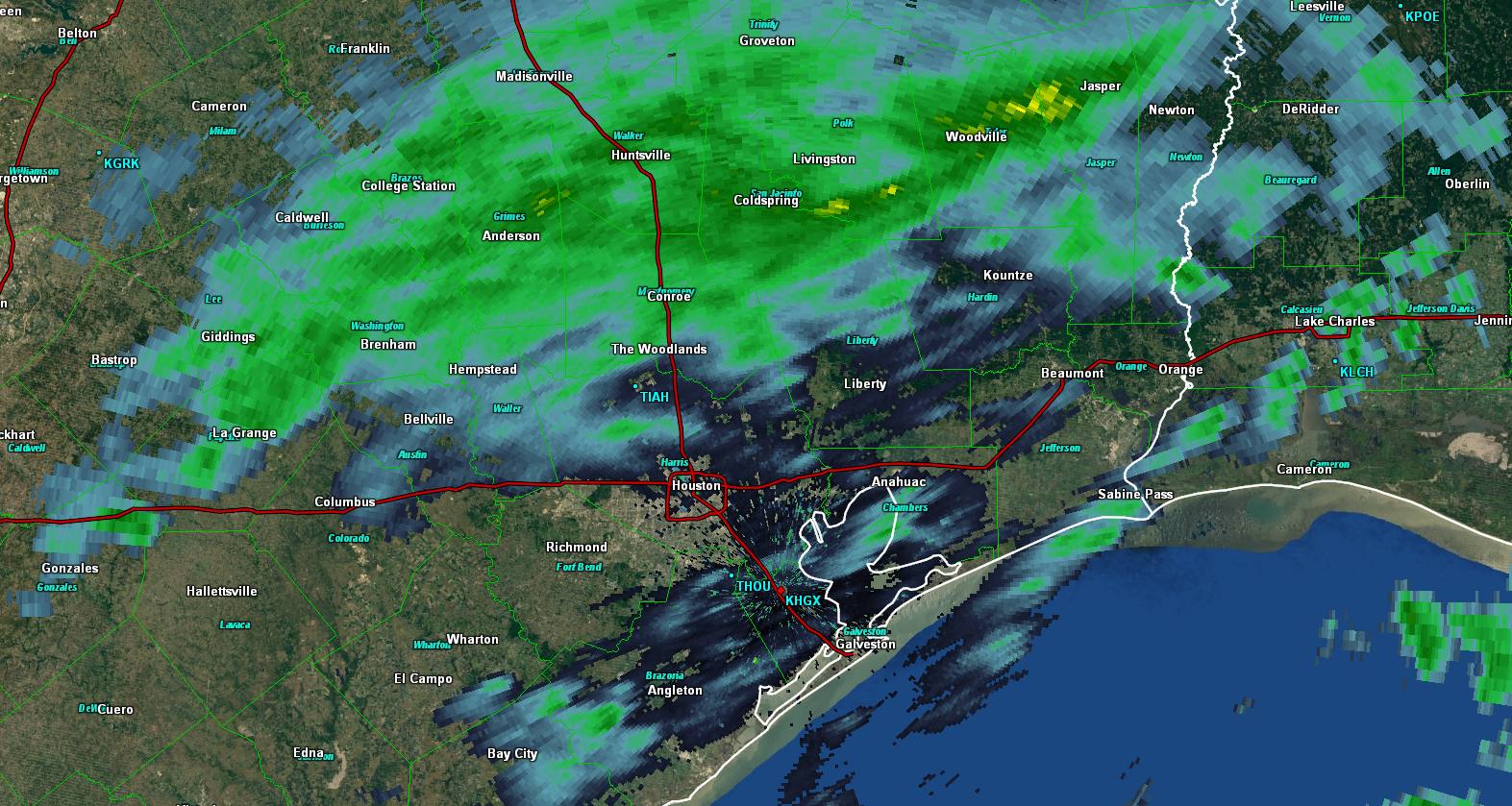
Radar as of 5:30 PM Wednesday shows a good bit of shower activity in the region, especially north of Houston. Rain has been pretty light and mostly just added to the dreary ambiance of the atmosphere today.
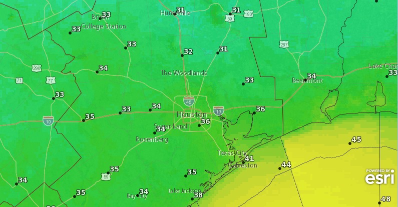
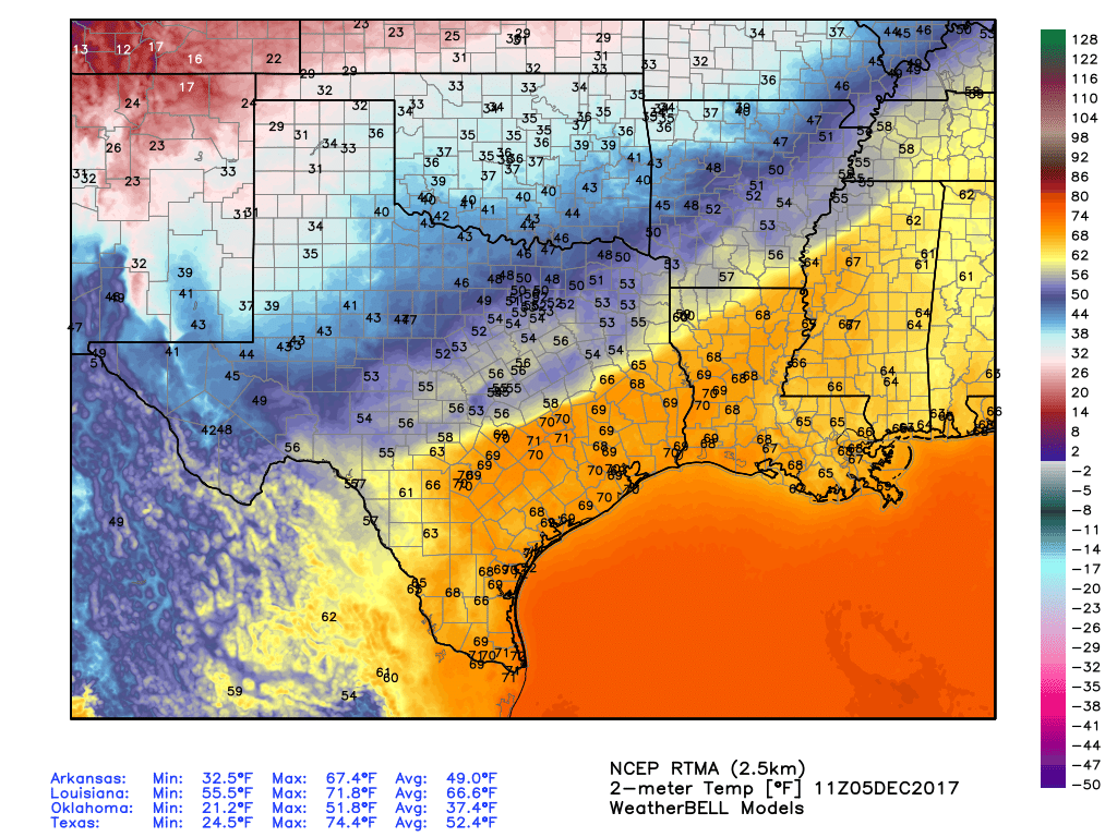
As we go into tonight, expect a few more rounds of rain, perhaps steady at times. Temperatures tonight should hold steady or continue a slow drop over most of the area, and I’d expect overnight lows to bottom out in the 38-42° range on average. That’s safely above freezing, so in and around Houston, I’d honestly be surprised to see anything other than plain rain tonight. North of Houston (say up toward Conroe, Hempstead, or Brenham), I wouldn’t be shocked if you hear some “pings” of ice pellets mixed in with the rain late tonight.
Thursday
I think Thursday is pretty straightforward here. We should see continued light rain much of the day. Temperatures aren’t going to warm up much. Upper-40s should be about as good as we do in some spots. Mid-40s will suffice in others. But mild-ish temperatures should prevent any wintry precipitation from mixing in.
(Space City Weather is brought to you this month by the Law Office of Murray Newman)