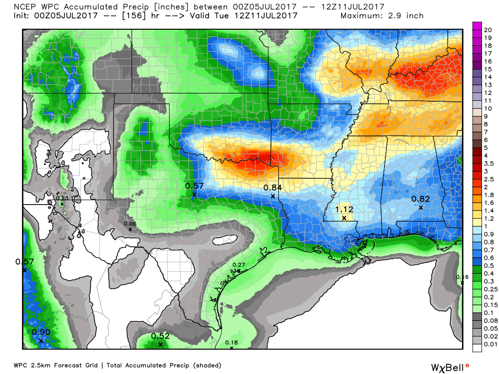
It’s been a hot start to the month of July, with most parts of Houston seeing no rainfall. As high pressure shifts away from the area just a bit, that pattern will change over the next few days, with the return of at least some modest rain chances.
Today
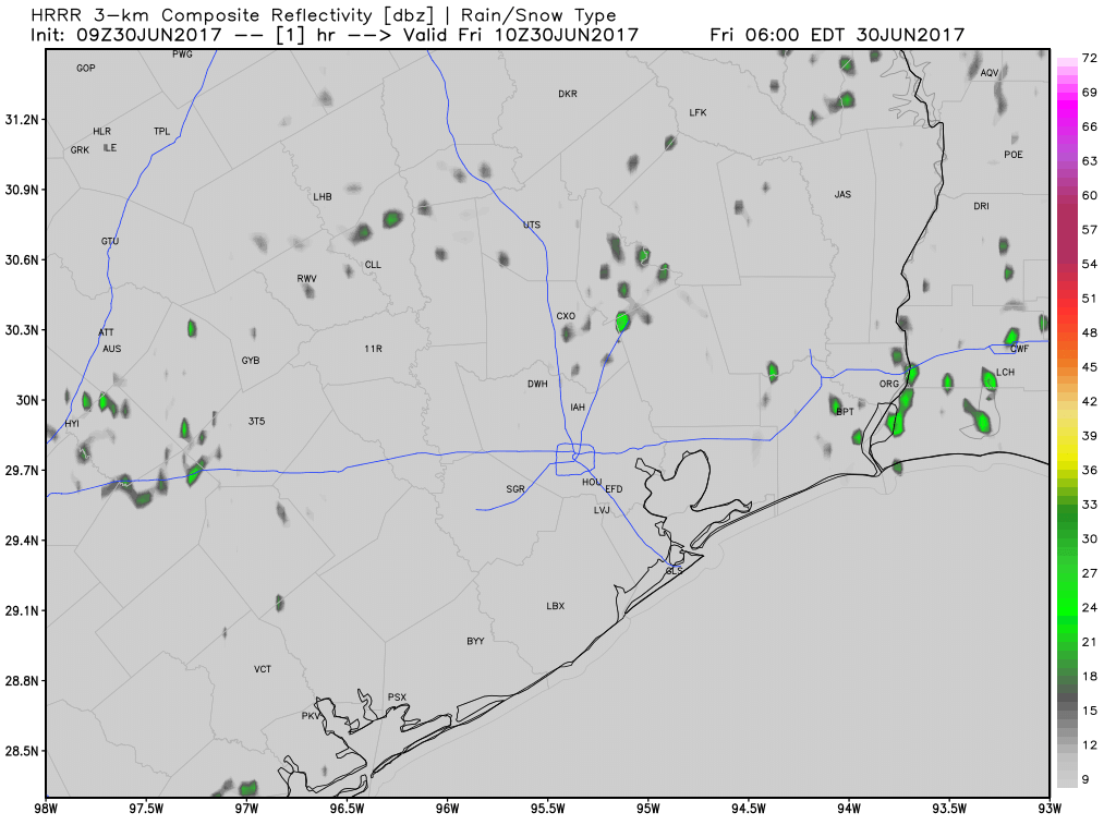
A few scattered showers along the coast this morning will translate into some inland showers this afternoon along the sea breeze. For the most part, I don’t expect significant accumulations. Highs in the low- to mid-90s.
Friday
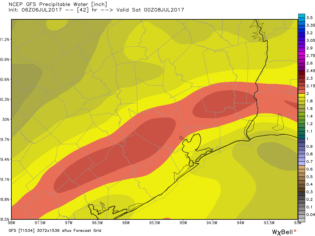
Atmospheric moisture levels appear likely to rise a bit, and this should lead to more widespread showers and thunderstorms. Don’t expect a lot of rain. While isolated thunderstorms could produce an inch of rain or so, for the most part we are talking about one or two tenths of an inch of rain. Partly cloudy skies should limit high temperatures into the low 90s.
Saturday through Tuesday
The mid- and upper-level winds in the atmosphere should become slightly less favorable for precipitation during this period, and therefore rain coverage will likely be only 10 to 30 percent most days, with light accumulations. For the most part days will be mostly sunny, with highs in the low- to mid-90s.
Wednesday and beyond
As we get into mid-July, some of the mid-range models suggest that high pressure will strengthen its hold on our weather. This means even hotter conditions—as we might expect during July and August—with highs in the mid- to possibly even upper-90s and mostly sunny skies. I hope that doesn’t come to pass, but it sure seems the most likely outcome at this point.
Posted at 7:30am CT on Thursday by Eric