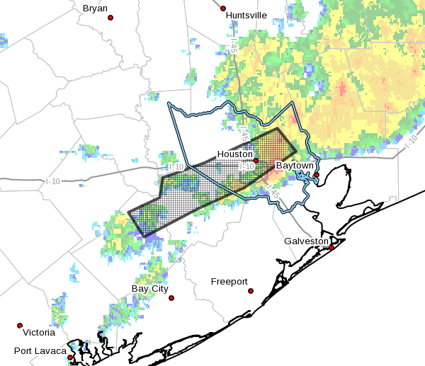
The National Weather Service has extended the flash flood warning through 10:15am this morning after as much as 6 inches of rain fell across southwestern Houston this morning. An additional 0.5 to 1 inch is possible during the next couple of hours, and on top of what has already fallen this could put some bayous out of their banks.
Already this morning flash flooding is occurring along Highway 59 from Fort Bend County through to the northeast side of Downtown Houston, with some underpasses and surrounding streets under water.
According to the Harris County Flood Control District, here is an assessment of current bayou levels at or near flood level:
- Keegans Bayou: overbanks at US 59/Beltway 8…numerous streets flooded
- Brays Bayou: bayou is spilling into SH 288 mainlanes and lower homes in Meyerland may be close to flooding. Bayou appears near crest at US 59 and Gessner
- Hunting Bayou: bayou is at bankfull at Lockwood (Kashmere Gardens)
- South Mayde Creek: creek is at bankfull at Greenhouse
- Upper Spring Creek: creek is nearing bankfull at Hegar Rd
- Upper Cypress Creek: creek is rising toward bankfull
- Lower White Oak Bayou: within banks, but high
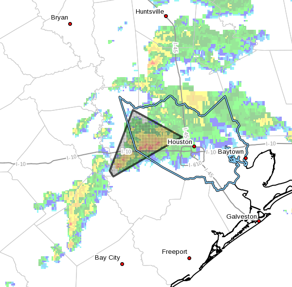
As the heavier storms have moved out of the Houston, there is concern about additional development late this morning and early afternoon along a nearly stationary boundary.
Posted by Eric at 7:50am CT on Wednesday
(Space City Weather is sponsored by Westbury Christian School for this month)