It’s sunny and hot out there on Sunday afternoon, but an approaching (weak) front should provoke some scattered showers and thunderstorms later this afternoon and evening. We think a lot of the region won’t see more than some clouds, but for the parts of the region that do see storms they could be strong, with some brief heavy rain and winds.
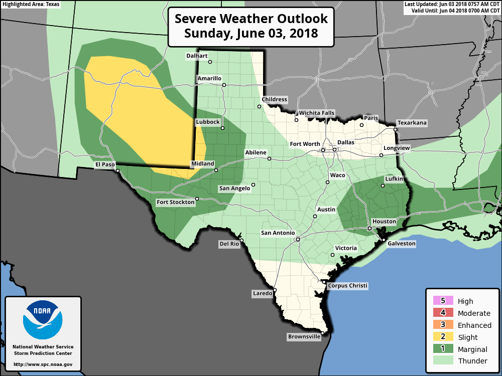
Storms are most likely to form north of Interstate 10 later today as the precipitating front is presently only sagging into counties north of Houston. Most of the higher-resolution forecast models aren’t overly bullish on storms, however moisture levels are high enough, and there’s potentially enough instability, that the environment seems right for at least a few thunderstorms to develop.
The bottom line is that if you see storms forming nearby, it’s best to take cover if possible. They probably won’t last long.

I just wish we could get some of that rain on the south side of the Houston area.
Huntsville has been hammered with heavy storms for about 2 hours and we’ve lost power.
Well, that was pretty darned accurate!!!! Pool time then thunderboomers. Whew!
Zilch around Ellington. Not even thunder in the distance.
Local news is saying gusts of 60 mph and quarter sized hail possible with the Monday storms. True? Or fear mongering?
Possible, but very unlikely for most.
Thanks!
We got thunder, winds, and rain last night north of Magnolia starting about 9:30 till after 10.