The month of May will go into the books as the third hottest May on record back to 1889 in Houston. Our average temperature was 79.8 degrees, putting us in between 2010 and 2003. The warmest May on record for Houston was 1996 when we had an average of 81.4 degrees. May 2018 also finished with 20 days of 90 degrees or hotter, a new record for number of 90 degree days for the month.
We have much more heat in store for the days ahead. But we do have a nagging storm chance this weekend, just low enough to be disappointing but just high enough to have to mention. The details…
Today & Saturday
Look for very similar conditions both today and tomorrow: Sun, clouds, and hot. There will probably be no showers in the area either day. Expect temperatures to hit the middle 90s again today and the mid to perhaps upper 90s tomorrow.
Sunday & Monday
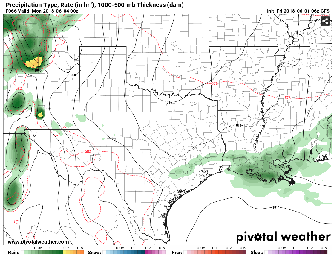
I’m actually going to lump Sunday and Monday together today. There have been a couple minor changes to the forecast, mostly in terms of timing the rain chances. A weak boundary (call it a “front” if you’d like) will drop south from northeast Texas on Sunday. It sort of drags its feet as it approaches Houston, so that will allow rain chances to appear both Sunday and Monday. I wouldn’t get too excited, as the ingredients for storminess still look rather sub-par. But, nevertheless, we’ll hold on to some hope for some cooling rains. If we were assigning odds for who could see rain, those north of I-10 may stand the best chance on Sunday and Monday.
Outside the rain chances, it will be partly to mostly sunny and continued hot. I expect mid to upper 90s Sunday and similar temperatures on Monday, but perhaps a degree or two cooler.

Rest of next week
Tuesday through Friday are tough to really differentiate between right now. All four days look continued partly to mostly sunny and hot. I’d expect generally mid to upper 90s during the day and mid to upper 70s at night (except low 80s along the coastline). Rain chances will be elusive, with very little meaningful rain opportunity showing up right now.
Tropics
Today marks the official start to hurricane season.
A couple quick notes: Several outlets published hurricane season outlook updates yesterday, including the folks at Colorado State, who reduced their hurricane and major hurricane totals by one storm. Recall, they are generally considered the gold standard in seasonal hurricane outlooks.
CSU has updated its seasonal forecast and now calls for a near average season with 14 named storms (including Alberto), six #hurricanes and 2 major hurricanes. Primary reason for reduction is anomalous cooling in tropical Atlantic. @ColoradoStateU https://t.co/8JIoU5fzBC pic.twitter.com/uQrn6h6iAA
— Philip Klotzbach (@philklotzbach) May 31, 2018
WeatherTiger's 2018 hurricane season outlook is out. Total ACE in the Atlantic predicted to be 67.5, about 2/3rds of average season. Key takeaways summarized on this thread; read our full forecast for free at the link. https://t.co/FOqxfPxqiN
— WeatherTiger (@wx_tiger) May 31, 2018
As always, the caveat applies here: It only takes one storm. Seasonal hurricane outlooks are primarily academic exercises more than preparatory tools. You and your family should be prepared for the one storm that may or may not impact us during the season. We live in hurricane-prone Texas, and the preparation you take up now will only serve to better help you later.
We are going to have the second part of our hurricane season preview later this morning, where we talk to a number of meteorologists about experiences from and challenges after the 2017 hurricane season. Our first part is here and has lots of great information if you missed it.
A degree or two cooler?
Meaning 9,998 degrees instead of the normal 10,000 ?
Curious what you guys think of Joe Bastardi’s outlook of a much warmer than usual summer for Texas?
Look at it this way – we’re only about 15 weeks from our first cool front.