Good morning. After a hot and sunny weekend, with a splash of showers on Labor Day, Houston’s pattern will see continued sunny skies this week. The principal difference, however, will be somewhat drier air across the region that will bring some cooler nights. Areas well inland may even see some lows in the upper 60s for a few nights. Highs will remain toasty, however, with ample sunshine warming the drier air quickly. Rain chances are essentially nil until next Sunday.
Tuesday
The aforementioned dry air mass should move southward across the entire region, reaching the coast this afternoon or evening. As this happens. highs today will climb the mid-90s across the area, with sunny skies and light winds from the north. The real fun will start this evening, as the sun sets. The (modestly) drier air will make itself felt in the form of temperatures and dewpoints this evening and on Wednesday morning.
Wednesday
This, too, will be a sunny day, with highs in the mid- to upper 90s, and winds becoming westerly later in the day. Humidity levels should begin to rise later on Wednesday, and conditions could become a little sticky overnight.
Thursday, Friday, and Saturday
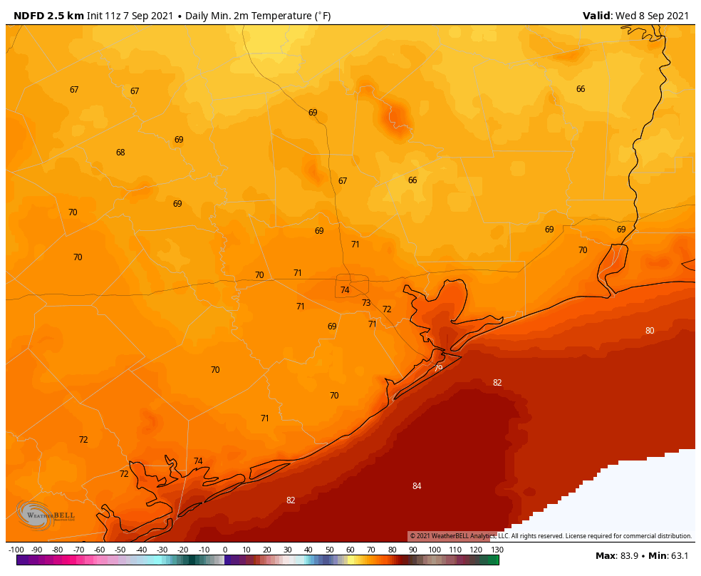
Yet another somewhat drier air mass should move into the region on Thursday, or so, and this should set the stage for some more decently nice late summer weather. Look for sunny skies, highs in the mid-90s, and lows in the upper 60s for inland areas, low 70s in Houston, and a bit warmer along the coast. Again, evenings and mornings should be nice for outdoor activity.
Sunday and beyond
The dry pattern is going to break pretty emphatically by Sunday or Monday, as high pressure moves off, and our region becomes open to moisture from the Gulf of Mexico. Sunday may still be sunny and warm, but at some point cloudy and muggier weather will set in, and rain chances will go up. Our region, as a rough guess, may see 2 to 4 inches of rain next week week, with daily chances. We will of course have to refine this forecast in the days ahead.
Tropics
Texas has about two to three weeks during which we need to closely monitor the tropics, after which we should move into a more fall-like pattern. And the good news is that there’s really nothing to worry about over at least the next week. Right now we’re tracking an area of low pressure in the southern Gulf of Mexico that should eventually move toward the northeast Gulf of Mexico, bringing some rainfall to the Florida Panhandle later this week. Hurricane Larry is beginning to slowly weaken, and will hopefully turn north before affecting Bermuda.
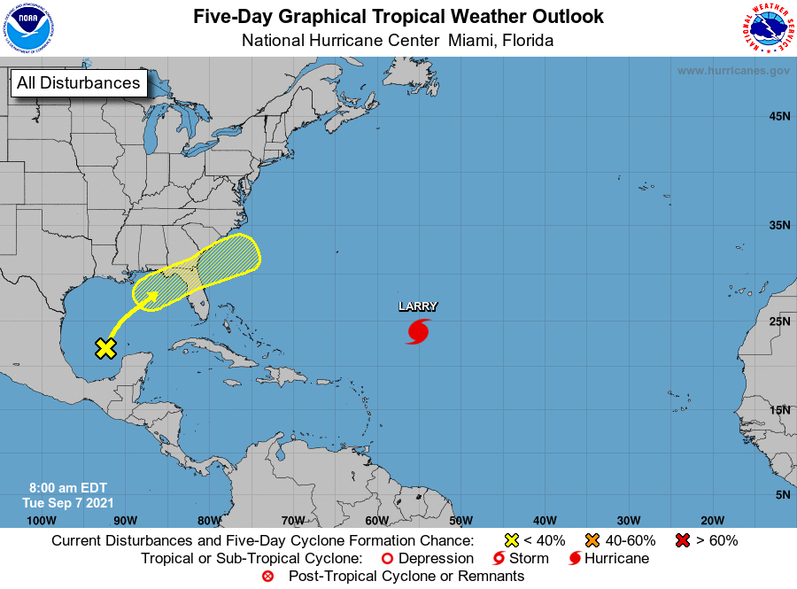
Finally, we may see some additional development in the Southern Gulf of Mexico in about a week or 10 days (not shown on the map above). This activity, possibly in the form of a tropical depression, may influence our rain chances next week. For now we’re seeing no indication of a strong tropical storm forming from this area, but at this time of year we’ll keep close tabs on it.
Finally, a morning walk that wasn’t an ordeal.
Ditto to what Blackhawks Fan said – but I’m really looking forward to tomorrow’s walk since the drier air is due to arrive tonight (per the forecast).
Such a little thing as drier air is enough to make me happy. And, I’ll take it even it is for one or two days.