Houston will remain in a more or less static weather pattern for most of the remainder of this week. Each day will see a healthy chance of showers, with a crescendo toward the weekend, but for now there don’t appear to be any significant concerns about strong storms or flooding. Temperatures will be hot, of course, but typically not of the 100-degree variety we sometimes see in August. In short, this is not a bad way to spend the last 10 days of a month that can either bring high pressure domes of doom, or serious tropical weather.
Tuesday
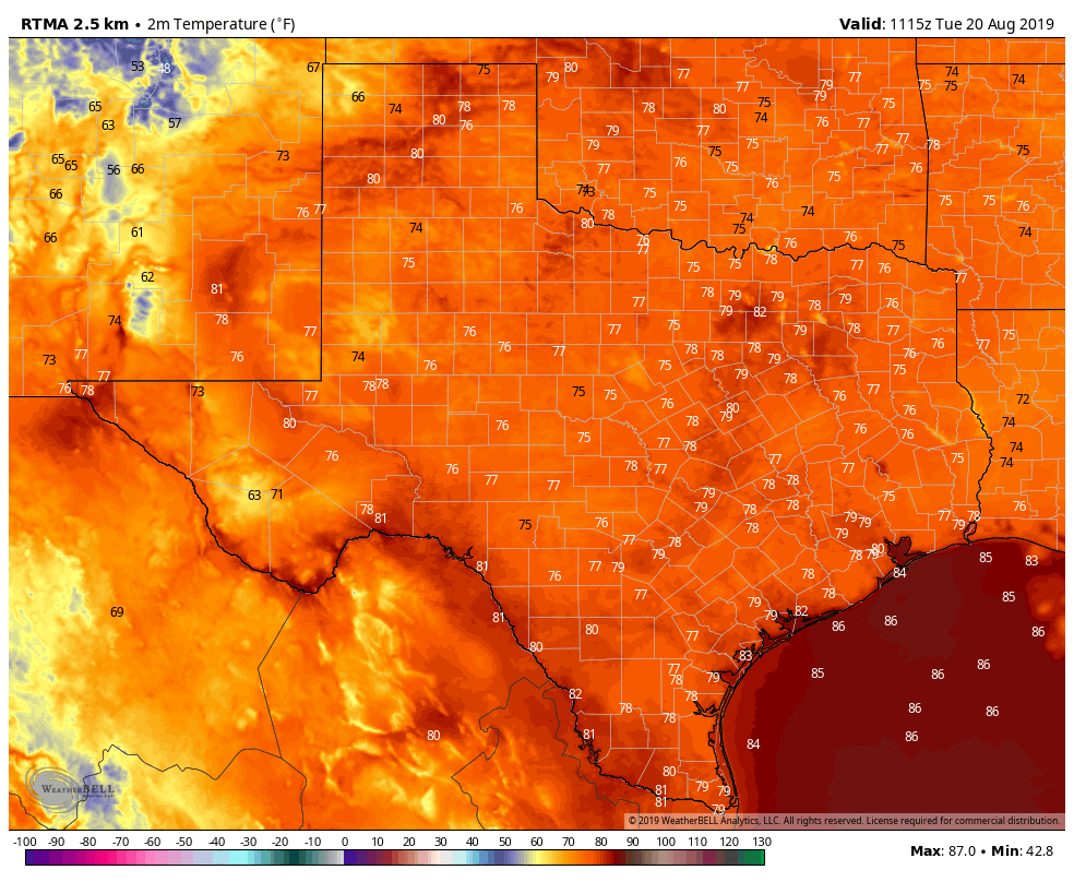
Today should be similar to Monday, with a mixture of clouds and sunshine, and highs in the mid-90s for most of the area. Rain chances are probably about 40 percent for most of Houston, with showers pulsing up near the coast by late morning, and moving through the city during the afternoon hours. They should fade as the sun begins to set. Some storms may briefly bring rainfall rates of 1 to 2 inches per hour, but most people will see far less than that.
Wednesday and Thursday
These have the look of typical summertime days, with highs in the low 90s along the coast, and upper 90s for inland areas. Shower development should occur along the sea breeze, which will migrate inland during the afternoon hours. Right now I would anticipate less coverage than on Tuesday, so let’s call it 30 percent rain chances on both days.

Friday and Saturday
Rain chances will increase somewhat heading into the weekend, as a plume of Gulf of Mexico moisture moves up and along the Texas coast. This sounds more ominous than it probably will be, as most of the rainfall should remain offshore. The net effect for Houston is likely be two partly sunny days, with 50 or 60 percent rain chances along the coastal tier of counties, and 30 to 40 percent chances inland. Accumulations will probably range from 0.25 to 0.75 inches for most people who see rain, but we can’t rule out the potential for more at this stage.
High temperatures will depend upon cloud cover and rain during the afternoon, but probably will range from the low- to mid-90s. Lows will remain oppressively warm, only falling to 80 degrees for most areas overnight.
Sunday and beyond
The early part of next week looks a bit more summer-like, with high temperatures generally in the mid-90s, and a lesser chance of daytime showers and thunderstorms along the sea breeze. This pattern may persist more or less through the end of the month. However—and I say this with extreme caution—both the European and GFS models are suggesting that overnight lows may fall back into the low 70s by the end of the month or early September.
Still looking quiet in the Atlantic basin. And some rain showers to help us beat the summer heat. I feel like Meg Ryan in the diner scene of “When Harry met Sally”. Yes! YES! YESSSSSSSS!
Lows in the low 70’s. A dream come true!!!
Eric, hosting a party Saturday evening in the heights. Part will be outside, should I try to make other plans?
Did you read the post? Eric said 40% chance of showers inland. Just decide if that’s enough to bet your party on.
Weird, didn’t think Mark and Eric were the same names. Joe asked about a certain time period which wasn’t stated in Eric’s post. Not sure if he read the post, but it is also not pointed out in it.
Joe, check out this forecast graph for zip 77008. Doesn’t look too bad for Saturday evening, (but that’s a few days away):
https://forecast.weather.gov/MapClick.php?w0=t&w1=td&w2=hi&w3=sfcwind&w3u=1&w4=sky&w5=pop&w6=rh&w7=rain&w8=thunder&w10u=0&w12u=1&w13u=1&AheadHour=48&FcstType=graphical&textField1=29.8062&textField2=-95.4223&site=all&unit=0&dd=&bw=&AheadDay.x=45&AheadDay.y=4
“High Pressure Domes of Doom” – sounds like a Weather Channel made-for-tv movie w Eric playing Jim Cantore and Matt as Dr. Neil Frank.
Does Eric have to stand near the F4 tornado like Cantore?
Dr.,Neil would kick that posers a*s…
I know Eric has posted a date for the average arrival of the first cold front, but the search function isn’t helping me track it down. Can anyone help out a midwestern girl who still thinks that back to school means fall weather? (even after twenty years in Houston…)
Fall weather arrives after pumpkin spice season ends.
blog.chron.com/weather/2014/09/weekly-weather-when-does-houston-normally-get-its-first-fall-cold-front/ or Google “houston first cold front’…article by Eric
“with a crescendo toward the weekend “.
That was a vivid piece of prose, nice job !
How dare you good sir mention 70 degrees in September!
The tropics are quiet. Too quiet. It makes me nervous.
Evacuate to Katy…