Dense fog is again the story this morning, as very warm air temperatures in the mid-60s overrun run nearshore sea surface temperatures 10 to 15 degrees cooler. It will take some time for the fog to burn off, perhaps not until late morning for some areas. We can expect foggy mornings (and nights) through Thursday morning before a cold front snaps the region back into more seasonal temperatures.
Tuesday and Wednesday
The next two days should more or less be carbon copies of Monday, with high temperatures in the mid- to upper-70s and lows only falling into the 60s. Some very light, very scattered showers are possible both days, but for the most part we should just see clouds. Perhaps the only notable change will be an increase in southerly winds on Wednesday, as lower pressures over the central United States bring winds up to 15 or 20mph.
Thursday
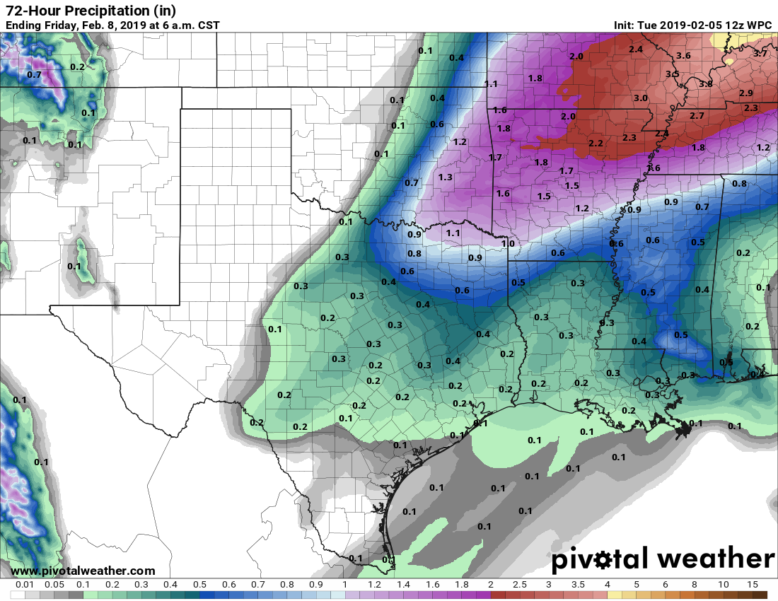
A cold front remains on track to push through Houston on Thursday, likely during the middle of the day. Rain chances will increase Wednesday night and Thursday morning ahead of the front, but again, accumulations don’t look too serious, with most parts of the area perhaps picking up two or three tenths of an inch. A few brief-lived thunderstorms will be possible. By Thursday afternoon or evening, rains should end as much colder and drier air blows in, bringing nighttime lows into the low 40s for most of Houston.

Friday
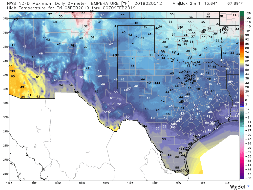
We can’t rule out a few stray showers on Friday, but for the most part we’re looking at a cold and dry day, with highs around 50 degrees. Some sunshine will be possible, but it won’t last long. Lows Friday night should again drop to around 40 in the city of Houston—colder inland and warmer near the coast.
Saturday and Sunday
The weekend will start out cold, with highs on Saturday likely to only reach about 50 degrees again. Skies should remain mostly cloudy, unfortunately, which will limit warming. We also can’t rule out rain chances (~20 percent) for both Saturday and Sunday as the upper atmosphere remains somewhat disturbed. The onshore flow will return with some vigor by Saturday night, allowing a rapid warm-up on Sunday, with highs near 70 degrees.
Next week
The region’s next cold front will arrive on Tuesday or Wednesday. If it’s the latter, we may actually see some sunshine on Monday. Regardless, the story will be one of a warming trend back into the mid- to upper-70s by early next week before a front knocks us back into the 50s. Some rain will probably accompany that front, and there’s no guarantee right now that we’ll see a significant period of clear skies after it moves through.
Thanks, I hate it.
Me too. 👎🏼👎🏼👎🏼👎🏼👎🏼
So, do we think we may be done with freezes for this season?
If you live south of I-10, I’d say the chances are better than 50-50 yes. But it’s still early February and freezes are definitely possible for another month.
I hope we aren’t through with cold weather. I would love one more freeze…maybe a couple of no-school days.
Happy National Weather Persons Day Eric and Matt! Thanks for all you do.
Our pleasure!
National “Hype-Free” Weather Persons Day?
Dreary weather in February… Seems like it should be Rodeo Time!
All 28 daily, entries in my training log for February 2018 began with “another overcast & dreary day”. What are the odds we’re headed for a repeat this year?
This weather is trash.
Looking forward to the cold front….the A/C in our building is busted.