As Matt noted Friday, we’re in the midst of “fog season” in Houston, when warmer air moves over the somewhat cooler nearshore coastal waters, bays, and inland waterways. Much of the region saw fog this weekend, and it is especially dense this morning, with visibilities down to one-quarter of a mile, less for some areas. The fog should slowly begin to dissipate this morning with the rising sun. We’ll likely see fog of various densities through Thursday of this week before a strong cold front moves through the area.
Monday, Tuesday, and Wednesday
Aside from the fog, there isn’t too much to say about the region’s weather through the middle of the week. Days will be warm, with highs in the mid-70s, under mostly cloudy skies. Nights will be especially warm, with the cloud cover and moderate southerly air keeping lows in the mid-60s. This is about 20 degrees above normal for this time of year.
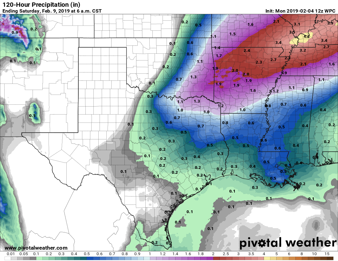
Rain chances aren’t going to go away completely, but each day will only have about a 10 to 30 percent chance of rain, and any precipitation that falls should be light. Accumulations through Wednesday should be on the order of one-tenth of an inch for most locations.

Thursday
Conditions begin to change late Wednesday night or Thursday, as a strong cold front pushes into Texas. This is likely to be another warm day to start, with highs reaching the mid-70s. Rain chances, along with the potential for thunderstorms, will pulse up later during the day as the front reaches and pushes through the area. (Even so, storms don’t appear to last too long, or be particular intense in terms of accumulations). In terms of timing, this probably will happen between noon and 6pm. Temperatures Thursday night will fall into the 40s, with rain chances decreasing overnight.
Friday
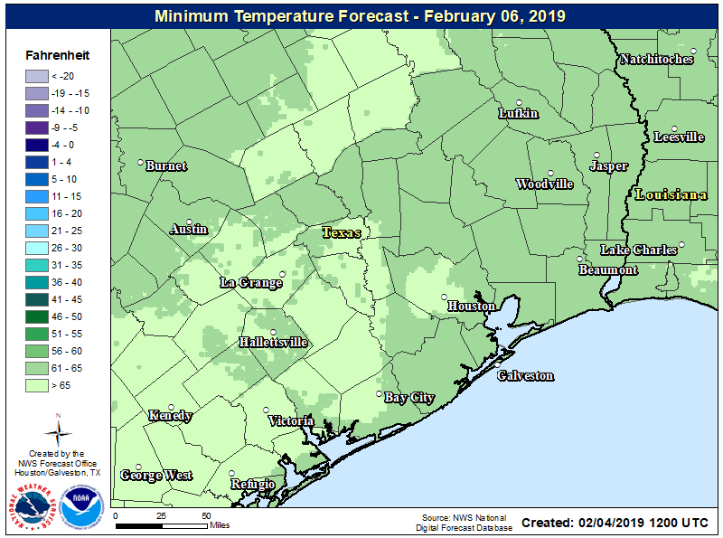
Unfortunately, this front appears unlikely to bring a deep layer of drier air into the region, so while the surface will be colder, clouds are likely to linger. Friday will be a cool day, with highs only around 50 degrees, under mostly cloudy skies. Some rain chances may linger, as well, with the moisture aloft. Friday night will be the coldest of the week, likely dropping into the 30s for inland areas, and low 40s in the city.
Saturday and Sunday
What does our weekend hold? More clouds, probably. Forecast models generally agree on a warming trend for Saturday and especially Sunday (when highs may get back to 70 degrees), before another cold front pushes through next Monday. I’d like to say that one of the weekend days will see some sunshine, but for the most part it just looks gray, with some chances for a misty rain. A cold front early next week will knock highs back down into the 50s for a bit.
The only thing I hate more than this type of weather is pollen season – that’s when we need a rain storm every few days to knock the pollen off everything and out of the air. THanks for keeping us posted Eric!
Are we have more freezes or our plants safe Eric?
Alaska had that days ago.