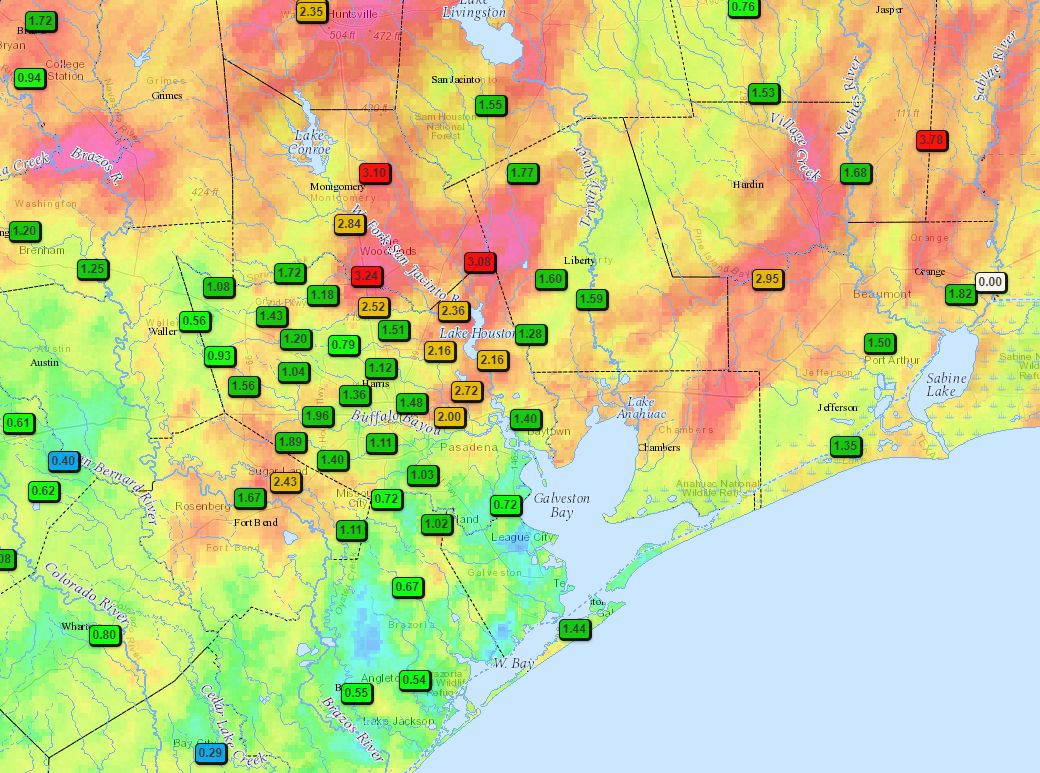
Overnight rains and storms—there were definitely some impressive lightning displays late Sunday and early Monday—have largely moved to the coast and offshore. Most of the region saw 1 to 3 inches from Sunday through this morning although a few locations, including parts of Montgomery County, saw totals of nearly 4 inches. One benefit of Sunday night’s storms is significantly cooler weather this morning, with rain-cooled lows in the upper 60s for much of Houston. Enjoy this while it lasts.
Monday
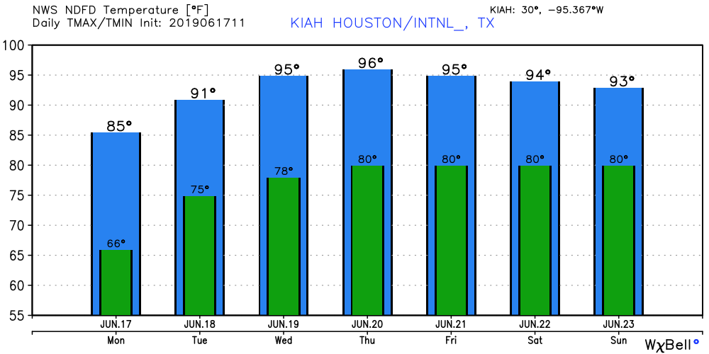
The atmosphere is pretty worked over, so although some light rains will be possible today, we’re unlikely to see any real storm activity except near the coast (seas offshore are choppy, to say the least). With lingering clouds, however, temperatures today may only rise into the mid-80s for most of the region. Houston has reached 90 degrees every day so far this month, so that would offer a nice reprieve from the summertime heat we’ve been experiencing. Skies should be partly cloudy tonight, with lows in the mid-70s.

Tuesday
This will be a bit of a transition day as high pressure begins to build back over the area. However, the atmosphere should be disturbed enough such that areas along and east of Interstate 45 have a 30 percent chance of rain, or so. We’re not anticipating any long-lived or threatening storms. Highs will be in the low 90s, with partly to mostly sunny skies.
Wednesday, Thursday, and Friday
High pressure begins to fully assert control over the region’s weather, and therefore the forecast is pretty easy as we get back into full-on summer. We should see mostly sunny days, with highs in the mid-90s, and overnight lows around 80 degrees.
Saturday and Sunday
As high pressure weakens some, a more moist flow of air from the south and southwest may allow for the development of some clouds and bring at least some slight rain chances (maybe 10 to 40 percent? a few tenths of an inch of rain?) on both Saturday and Sunday. This may also help to limit highs into the low 90s. We’ll see. I could easily see high pressure continuing to dominate.
Thanks Eric! At least the rain cooled us down some!
Only 1/2″ here, if that, since Saturday. Really surprised given all the rain I saw both inside and outside Minute Maid Park yesterday.
I had to double check my thermometer this morning when I saw it was 66 degrees.
It’s been a wild few days.
On Saturday we had a very quick (5-10min) super intense storm pass through. It didn’t produce substantial flooding but it’s accompanying lightening hit a tree in our backyard, came across on a nearby outdoor lighting system that was wires to the house, blew that transformer, fried a control board on the furnace (took out the AC), fried the pool pump, and took out every cable box & modem that was plugged into the wall.
Oh and then power was out for 5 hours last night 🙁
Houston summer seems to have basically two settings: Blazing Heat and Torrential Downpour. When things are on Downpour, that has the advantage of cutting the heat, but leaving it on that setting for any length of time causes other problems.
Looks like, for most of us, this round of storms was a welcome cool-down with some beneficial, non-flooding rain. Kind of like the rain we got a couple weeks ago from Invest 91, but on a slightly smaller scale. That line of storms last night looked ominous on radar, but seemed to weaken a bit as it approached the central Houston area. I’ll take it!
Testing as my last 3 posts haven’t shown up.