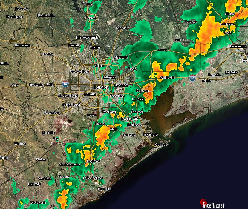
Good morning. A line of storms has moved through the region during the overnight hours, bringing generally about one-half inch of rain to most places. It is now ending from west to east.

Northerly winds are behind the front, which will bring cooler air and gradually decreasing clouds through the day. Highs should be in the upper 60s.
THURSDAY-SATURDAY
Winter-like weather will descend upon Houston, with highs in the low- to mid-60s, overnight lows around 40 degrees, and sunny skies. Enjoy!
SUNDAY and BEYOND
Beginning later on Saturday or Sunday the onshore flow will resume, bringing humidity and clouds back into the area.
This will set the stage for a warming trend, with highs in the low- to mid-70s for most of next week and lows increasing from about 60 degrees on Monday into the mid-60s by midweek. This will include the possibility of light to moderate rain beginning Monday.
As for Christmas, it’s not yet clear whether the warm pattern will break, or we will continue to see unusually warm temperatures through the holiday.
Well, that was fun today…… (NOT)! But, I’m looking forward to some of that much better weather coming up!
Yeah, running the A/C in December is ridiculous.
Since we have such a strong El Niño occurring right now, what is causing the patterns to keep driving our temperatures so much above normal when the opposite should be happening? I don’t like the heat and especially hate it in the winter.
It’s a good question. We’ve seen a classic pattern in the northeast, but the heat has extended down into the south-central United States for some reason. It will be interesting to see if the heat erodes later this winter.
I do agree with you, I’d like a colder winter.