Houston’s forecast remains more or less on track: We’ll have three more hot, summer-like days before a cold front arrives later on Sunday. This front should be strong enough such that we’re calling Monday “Fall Day,” for the real beginning of fall-like weather in Houston.
Today
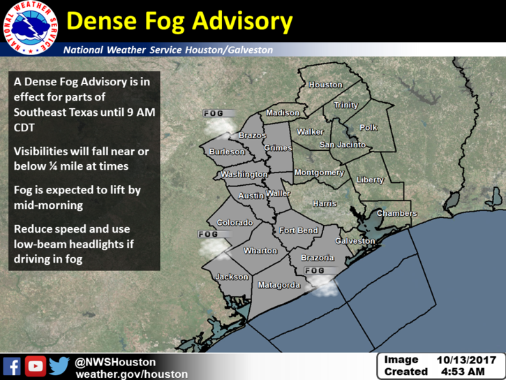
Low-level clouds have developed across much of the Brazos Valley this morning, and are extending into the western and parts of the central Houston area. This has led the National Weather Service to issue a “Dense Fog Advisory” for the western half of the metro area through 9am this morning. The rising sun should burn the clouds off, and this will give way to a warm, sunny, and muggy day with highs of around 90 degrees.
Saturday
Another day like Friday, with some fog possible in the morning before a very warm and sunny day with highs again near 90 degrees. The record high for Saturday, 92 degrees, is not entirely out of reach.

Sunday
Temperatures on Sunday are dependent upon the timing of the cold front, which appears likely to reach Houston sometime between noon and 6pm CT. Scattered showers are possible with the front’s passage, but I don’t expect them to last too long. As for highs on Sunday, I suspect areas north and northwest of Houston may only reach about 80 degrees as the front arrives before the heat of the day, whereas the city and regions closer to the coast get into the upper 80s. Drier and cooler air will move in behind the front, and all areas should see some relief by Sunday evening. Temperatures that night should fall into the 60s.
Monday through Wednesday
We should see some really great weather. Look for highs in the upper 70s to lower 80s, with overnight low temperatures falling into the low 50s for areas well inland, and low 60s near the coast. Drier air will make it feel great for everyone. Rain chances will be effectively zero.
Temperatures warm somewhat later next week, heading into next weekend. But I don’t think we’re headed back above the mid-80s as this point.
Heading to Chicago for business next week… want me to bring you back some running weather? 😉
I was in Chicago just last week and it was warm and muggy there, too, at least by their standards.
Some like it hot-and I’m one of them! Beach,Boat and Bathing suits.
Great news for Texas. Thanks so much for getting us through the hurricane season. Your reporting and information has been spot on every time. Looking forward to fall with the family and pets.
You two should run for president and should use the “It’s Finally Fall” ticket to swing the southern states’ votes your way. It would be a landslide victory.
I’d definitely vote for that!
Thank you for your updates. Love this site and LOVE to hear about beautiful weather forecasts. Do you have any comments on the precipitation levels post-Harvey? I can speculate that low totals is ideal for our bayous/rivers especially if they’re still releasing water from the dams but I’m wondering if we are experiencing normal rainfall amounts for this time of year? If this is “normal”, then when might we (typically) start to see rain chances increasing again? Thanks!
Ahh fall…the 4 days of the year in houston when I get to open the sunroof.
Eric – Any thoughts on Disturbance #1 out east of Leeward Islands?
Yes. Unless you live in Bermuda, I wouldn’t give it a second thought.
I’m the “Fall is here” announcer in our family…my method is simple but not at all based on any meteorological smarts…as the front in question passes by I face and “read” the wind…thanks Eric for the Monday heads-up…I’m never been this confident that I will be successful in making the announcement! Can’t wait!!
Hahah, Milt, I know you are looking forward to Monday too.
…too bad the front can’t go through Saturday…I would like to see what excuse they would come up with for not opening NRG Stadium’s roof for Sunday’s game…unless it’s rusted shut!!
What’s up, was all over your site during Harvey while in Houston. Now I’m in the UK and we have Ophelia. Checked back but nothing here!