Houston remains under a dense fog advisory until 9 a.m. this morning.
TODAY-FRIDAY
The region will continue to see a warming trend, with highs in the mid-70s today, and possibly record high temperatures around 80 degrees on Thursday and Friday. Lows will climb from the upper 50s Thursday morning to nearly 70 degrees by Saturday morning. Skies will be mostly Sunny.
Mele Kalikimaka, everyone.
SATURDAY
Moisture that has piled up during the previous three days will rise upward due to an advancing front. This will bring about a decent chance of rain during the day, and an even better chance on Saturday evening and during the overnight hours. Due to the unstable nature of the atmosphere some severe thunderstorms will be possible, with possibly even some isolated tornadoes. Check the forecast before heading out to any evening or nighttime plans.
In terms of accumulations, I still think 1 to 2 inches is a good bet for rainfall.
SUNDAY
The front itself will likely arrive in Houston sometime between 6 a.m and the early afternoon hours. Rain chances will fall dramatically in its wake.
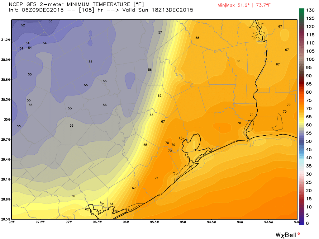
Skies should be clearing, with temperatures around 60 degrees, during the pre-game activities at Reliant Stadium.
EARLY NEXT WEEK
Look for a brief warm-up on Tuesday and Wednesday before another, more substantial front arrives.
Texas weather…sigh
Yikes. How do you think this will affect the Sam Houston State playoff game Saturday night in Hunts-vegas?
Light to moderate rain would be my guess.
Thanks, Eric.
Hoping the rain clears out before Sunday afternoon. Otherwise it will be soggy for our neighborhood holiday celebration.
You should be good.
Thanks!