In brief: Expect another mild day today before decent rain chances return Wednesday through the end of the work week. These are likely to be garden-variety showers rather than anything too intense or organized. The weekend looks warmer and sunnier, and after that the story will become one of increasingly hot temperatures.
Tuesday
Today will see rather mild conditions. Expect highs, generally, in the mid-80s. Skies will be partly sunny for much of the day, with relatively light south-southeasterly winds. A few scattered to isolated showers will be possible, but most of the region should remain dry. Lows tonight will be a few degrees warmer, likely dropping only into the low 70s.
Wednesday, Thursday, and Friday
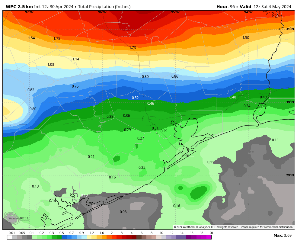
The latter half of the work week will turn more unsettled, as a series of disturbances pass overhead. At this point I can’t pinpoint which of these three days will have the best rain chances, but daily odds are likely on the order of 30 to 50 percent. We are not looking at anything too crazy, with accumulations of 1 inch or less likely for most of the region.
Skies each day will bring a mix of clouds and sunshine, although clouds are likely to be more the norm during the morning, with a better chance of some sun breaking through during the afternoon hours. Highs will generally slot into the mid-80s, with warm and humid nights. Winds will be from the southeast, generally, with some occasionally gusty conditions.
Saturday and Sunday
The weekend looks sunnier and warmer, with highs in the mid- to upper 80s. Rain chances should slacken this weekend as high pressure begins to take hold, but I can’t rule out a few stray showers. That will have implications for our weather next week.

Next week
And those implications, as you might guess, are such that we’ll see warm if not hot conditions. As high pressure builds we are likely to see our first 90-degree readings of the year by Tuesday or so of next week. Lows will only drop into the mid-70s. High pressure should also shut down rain chances for most of next week as well. Summer, one might say, is coming…

Not looking forward to another year of August in June 🙁
To me, Cinco de Mayo is the first day of summer for Houston. Temps hit 85+ and there’s no looking back for months!
I did some research. According the the NWS we have hit 100 degrees or hotter at Intercontinental 164 times since the summer of 2010. That’s an average of almost 12 times per year.
In 2011 we hit the 100 degree mark 46 times and last year was a close runner up with 45 days breaking the century mark. In 2021 and 2014 we never hit the 100 degree mark. So it’s a pretty big swing from zero to 46.
Being some what of a gambler I am setting the over under on the number of days we break 100 this year at 12. I will take the under and put my best estimate at 6. Any other predictions?
Yeah no it looks like we are getting our 3rd damn cooker summer in a row.
I’m betting against anything like we had last year or 2011. Average to below average this year. Higher pressure stays camped to our east leaving us with a warm, humid summer with more afternoon pop up thunderstorms and fewer crazy high temp days…
It will be over 12. An interesting lookback then for October.
The GFS model already has the southwest ridge, aka “dome” set up after mid May. That’s 500 mb up to 5900 meters. Suggests no improvement in the hot humid dryness of the Houston area summers of late, 2020 forward – except that the ground is definitely starting out wetter this spring. That water has to bake out to achieve 100F. So we’ll see. But, land based troughs will steer north, and seasonal sinking air at this latitude takes over. The sunny blues and heat becomes ‘persistent’ as they say. Only a strong Gulf tropical can disturb that.
The GFS outside of 10 days should be taken with a grain of salt. I’m thinking the “dome” is going to set up over the SE this summer giving us an onshore flow with more frequent afternoon storms. Time will tell.
I instinctively favor your scenario. Been in Houston a long time and can’t recall three consecutive burner summers, so I’m pinning my hopes on it being more typical (as in old time typical) than 2011 and 2023 “typical”. Still hot but with adequate random showers and no long stretches of bone dry. Fingers crossed.
meant two, not three…now I’ve jinxed it.
Gotcha. It’s a good bet. A fun one that I’d like to be on the wrong side of. I’m focused on the SW plateau like a new ah ha moment. A ‘warm air aloft’ generator. Has been bad for getting precip here. The long term weather pattern needs to be different.
The last 7 months (Oct-Apr) have been great! Now its time to pay the price and endure the inevitable the next 150 days (May-Sept). If we get lucky, May and September won’t be too bad. Have a great summer y’all!
Hotter conditions in May? You don’t say… It’s Texas folks. If you can stand the heat get out of the kitchen. Best we can hope for is some rain so everything doesn’t burn up.
Ok
Well it is true what Kelly said Okayest, ok? lol
Why????? How can north Houston get SO much rain and the west side get so little?? Is there any hope for south and west Houston to not become parched by another drought, what with this horrible ridge coming back next week, just like last June??
The weather god’s consider west Houston people to be a self-entitled bunch, so they are going to ‘stick’ it to them.