Good morning. Today will provide a taste of spring-like conditions before more winter-like weather returns this weekend.
TODAY
After any lingering fog will burn off this morning, and we’ll have a mostly sunny sky. Although a cool front will arrive by this afternoon, temperatures will rise into the low 70s as the colder air lags. It will be the region’s warmest day in nearly three weeks. After the Sun sets we’ll start to cool off fairly quickly, however, with lows tonight in the 40s.
SATURDAY
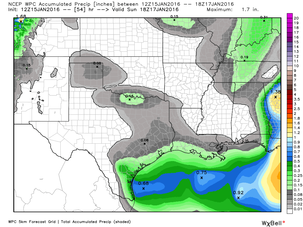
Saturday will be cooler, as northerly air moves into the region, and an upper level storm system will bring some chances of rain, especially to the south-southeast of Houston. Even so I don’t expect any significant accumulations. Most areas will see a tenth of an inch of rain, at the very most. The day will be mostly cloudy.
SUNDAY
Lows will fall to around 40 degrees, and the day will be mostly sunny, with light winds likely less than 10 mph. Highs in the mid- to upper-50s. It will be a near-perfect day for long-distance running.
MONDAY-WEDNESDAY
We’ll see gradually warming conditions next week, from highs around 60 degrees on MLK Day rising to about 70 degrees by Wednesday. Skies will be mostly sunny. After Wednesday the forecast models differ quite a bit, but it’s possible we could see a wet end to the week.
Stay tuned!
People are running a long distance on Sunday?
Good luck on your race, Eric. I hope I don’t see you on the course because I run so much slower that if I see you, something’s wrong.
Relish your first.
If Gawd had meant for man to travel 26.21875 miles we would all be born clutching Uber passes.