Lows are generally in the upper 40s this morning across Houston, and this is going to be one of our warmest mornings for awhile.
TODAY-THURSDAY-FRIDAY
With a cold front comfortably offshore we’re going to see three days of mostly sunny skies, highs around 60 degrees, and lows in the 30s. Friday will likely be the coldest of the mornings, with temperatures remaining just above freezing in the metro area. However we’re going to have to watch this freeze line to see if it creeps south into Houston. Freezes are definitely possible in Montgomery County and places to the north and north east.
SATURDAY
A southerly flow returns Friday, which will bring some moisture back into the area for Saturday. At most this should result in very light, misting rain during the afternoon or evening hours, but I am not at all confident in even this amount of precipitation. With cloudier skies, highs will struggle to reach into the upper 60s.
SUNDAY
More colder, drier air arrives on Sunday, so we should see sunny skies again and highs climbing to about degrees. Lows will probably be about 40.
MONDAY-WEDNESDAY
Next week will remain chilly.
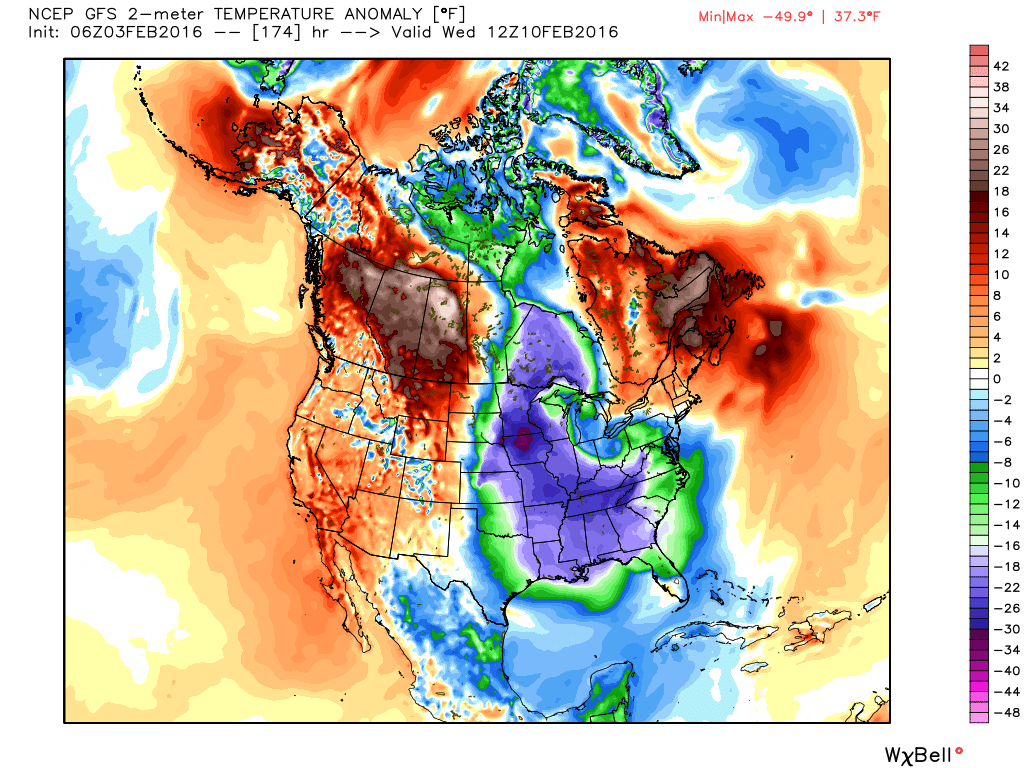
A strong Arctic front will push into the Midwestern United States during this time frame, but it appears the coldest air will remain to the east and northeast of the Houston metro area. As a result I expect lows around 40, instead of below freezing. Places like Iowa and Tennessee may see temperatures as much as 30 degrees cooler than normal.