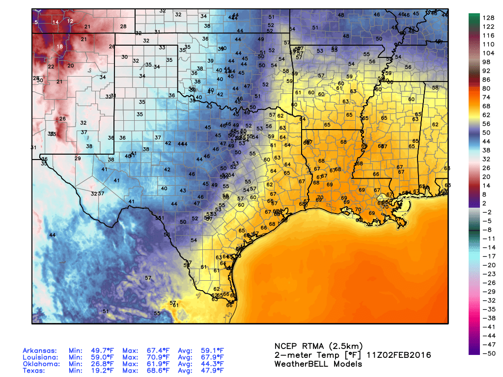
It’s quite warm for early February this morning, not to mention muggy, with temperatures in the upper 60s across Houston and relative humidities near 90 percent. But that’s about to change…
TODAY
By late morning northwest winds should arrive, bringing dry air into the region. Under sunny skies highs today will rise into the low 70s, but temperatures will fall pretty quickly after sunset this evening. Wednesday morning’s low should be in the low 40s.
WEDNESDAY-FRIDAY
High pressure will dominate and we’ll have three splendid winter-like days with highs around 60 degrees and lows generally in the upper 30s. Freezes are possible well north of Houston, but the metro area should for the most part remain above freezing. Friday morning will be the coldest of the three.
THIS WEEKEND
There is a chance for some rain on Saturday afternoon and evening, but right now I’m thinking the heaviest showers will remain offshore. In any case, if you have outdoor plans on Saturday, confidence in rain occurring is fairly low, so I wouldn’t contemplate canceling any plans yet. I think some areas of the city will see little or no rain at all. Highs on Saturday and Sunday will remain around 60 degrees, and morning lows will climb into the low 40s.
NEXT WEEK
A reinforcing front should keep things cool through the middle part of next week at least, with highs around 60 degrees and lows in the upper 30s. Rain chances remain low.
Now that’s what I like to hear!!
Is it too late to hope for any snow this season? My son is bummed out.
Pretty much, I am afraid.