Summer set to sink in

Eric’s post from yesterday covered most of what’s about to unfold over Houston for the next week or so (and, really, the next couple months for that matter). Summer is here for real. So just some details here.

Friday Through Tuesday

No big changes to speak of here. We should see a few showers in the area today, but almost certainly nothing like we’ve seen the last several days.

Forecast radar today shows a scattered bit of mostly minor showers through the day. (Weather Bell)


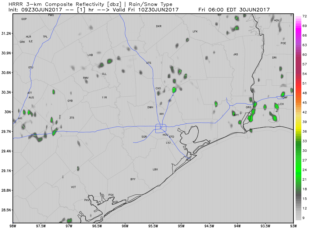
It should be more like a smattering of small afternoon downpours in spots than the numerous scattered thunderstorms like we’ve been dealing with. The rain chance drops off a cliff Saturday though. Basically, Saturday through Tuesday look to be about the same: Partly to mostly sunny, hot, humid. I wouldn’t completely rule out a downpour on any of those days (particularly Monday or Tuesday), but the chances are so small, it really isn’t even worth discussing right now.

The rinse and repeat pattern Eric mentioned yesterday also applies for forecast temperatures. Houston should top off around 93-95° each afternoon, with morning lows generally in the mid to upper 70s. If you’re heading to Galveston, a similar story of consistency, with roughly 89-91° each day and lows a bit warmer thanks to the warm Gulf, coming in around 80° each morning.

Beyond Wednesday

Agree with Eric yesterday: Not much change is in store. The pattern looks pretty stable over Texas at least. Expect pretty persistent temperatures. Rain chances may go from like 10% early next week to 20% each afternoon later next week, but I don’t see things getting much worse than that even out toward next weekend at this point. We’re in a quiet period now.

The tropics look quiet in the Gulf and Caribbean as well.

The tropics are quiet in our backyard for the foreseeable future, as the Gulf and Caribbean are void of much moisture and disturbances. (NOAA)

No real signs of anything worth discussing over the next 7-10 days or longer. The eastern Atlantic has seen some aggressive tropical waves early this season, but at this point it’s still a bit early for anything to get moving. If we continue to see these sorts of waves in a month, it will be something to monitor. But for now, breathe easy and enjoy a hot (but quiet) Fourth of July weekend!

Posted at 6:30 AM by Matt

Summer proper is coming to Houston soon

By Houston’s standards, June hasn’t been too bad. Temperatures are going to end up near normal, or slightly below normal for the month. And during the last week persistent clouds and on-and-off rain showers have generally kept high temperatures in the upper 80s. But all good things must come to an end, and for Houston that means the coming of summer proper, just as we get into July and August. These are always the hottest two months in Houston, and undoubtedly this will be the case in 2017.

My advice: If we all hold hands, and huddle underneath the trees for shade, we just might make it to September.

See full post

A few more days of rain before we declare independence from clouds

Although Tropical Storm Cindy veered well to the east of the Houston metro area last week, a very moist tropical air mass remained in its wake. That, combined with lower pressures, has allowed for intermittent tropical downpours during the last five days across the Houston area, with some inches receiving as much as six inches of rain.

Rainfall totals during the last five days for Houston. (National Weather Service)

This pattern should continue for another day or two, before the region finally dries out heading into the weekend.

Wednesday and Thursday

With abundant moisture still hanging around, we’re going to continue to see partly to mostly cloudy skies, with the potential for heavy rainfall. Storm chances are greatest near the coast for the next couple of days, and like we’ve seen for much of this week, one part of Houston could quickly pick up 2 inches of rain while it doesn’t rain at all a few miles away. The upside of this tropical pattern is that high temperatures should remain in the upper 80s—quite pleasant for the end of June.

See full post

Enjoy the cooler weather—high pressure is coming to Houston

Houston’s bout with tropical moisture continues, and on Monday afternoon and evening it was the southern side of the region’s chance to contend with heavy rainfall. With 2 to 3 inches falling in a couple of hours, Friendswood, Pearland, and the Clear Lake area were hardest hit as rains briefly filled streets. We should remain in this wet weather pattern for most of the work week.

Today

Another day a lot like Monday. The tropical moisture that’s capable of bringing heavy rains is still hanging around for areas closer to the coast, so we can expect another mostly cloudy day with highs in the upper 80s, and a healthy chance of storms later today. Some areas could pick up a quick 1 to 2 inches, while other parts of town see almost no rain. Fortunately, because the storms aren’t that well organized, I don’t think we’re going to see anything more significant than street flooding—if that.

Houston’s temperatures are 2 to 8 degrees Fahrenheit below normal today. (Weather Bell)

See full post