Houston’s warm winter interlude lasts a little longer

The fog lifted and temperatures exploded yesterday afternoon. Houston managed to hit 79° officially, just a little shy of the record of 81° set back in 2012. This is our fifth day above 75° so far this month. We did eight of them last December, but most came in the final 10 days of the month. We should add at least one or two more warm days to the record this week before a pretty significant dose of winter cold brings us back to reality.

Today

Spectacular. We try not to editorialize the weather too much, but it’s tough to argue against today’s weather by almost any objective metric. I expect today to be a chamber of commerce special, with ample sunshine and just a few high clouds. Temperatures again should reach for the upper-70s. Dewpoints today will be 15 to 20 degrees lower than yesterday meaning drier air is in place. If we hit 79° again this afternoon, it will feel a whole lot nicer than the 79° we hit yesterday.

Thursday through Saturday morning

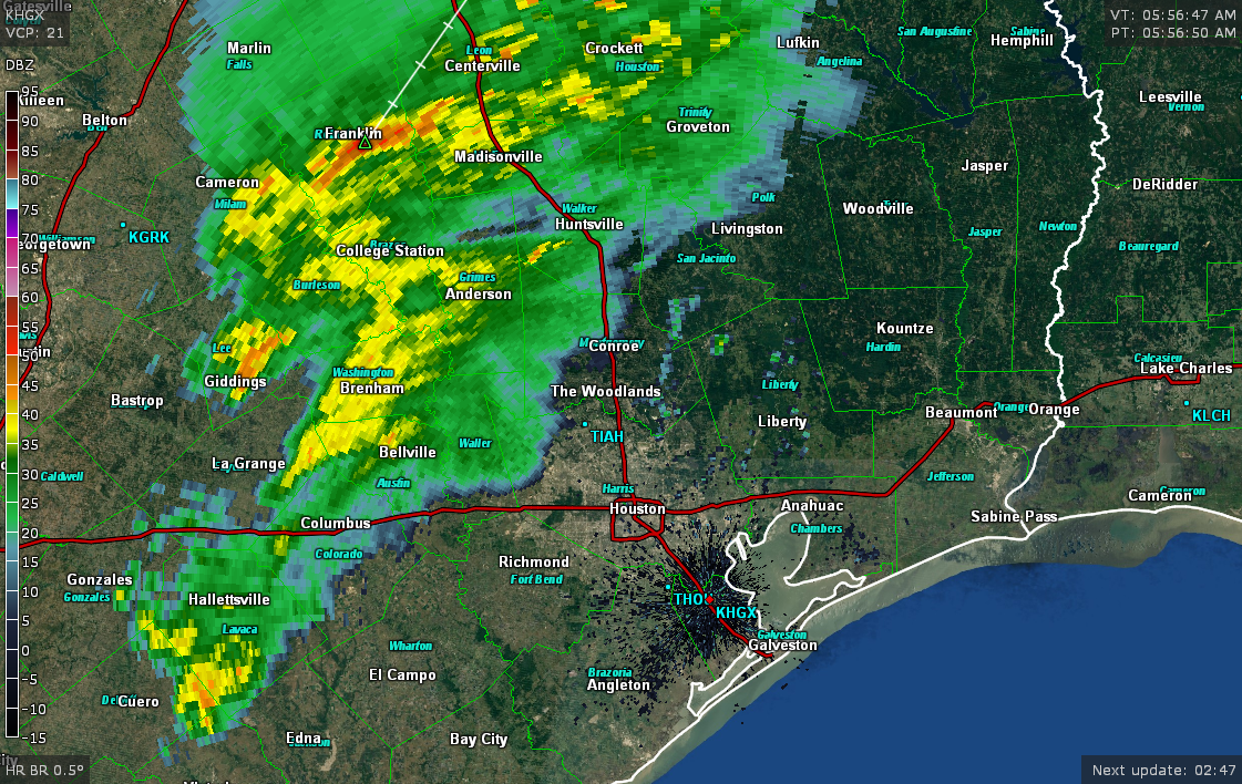
Our foray into near-ideal weather will end abruptly on Thursday. We could start the day with areas of fog back in the picture. If we don’t, they’ll return with force Thursday night I think. Humidity should skyrocket on Thursday as onshore flow returns. It might be cool and damp Thursday morning, but it will finish downright humid. There could be some showers around on Thursday, but I don’t really foresee anything too substantial and rainfall accumulations should be minor.

Temperatures will start Thursday in the mid-50s and warm into the mid or upper-70s on Thursday afternoon. We may not see temperatures drop very far on Thursday night. The best we’ll do is probably around 65-70° in much of the area, with some places perhaps not dropping below 70° Friday morning. Fog and some isolated showers will play games with temperatures on Friday, leading to perhaps mid-70s. With enough sunshine 80° can’t be ruled out however.

Our next cold front will approach Friday night — or Saturday morning. The timing has slowed down by at least six hours since yesterday and it now appears we won’t see much rain til after midnight Friday night into Saturday morning.

The official rainfall forecast between Thursday & Friday’s showers and Friday & Saturday’s front looks mostly minor. Expect about a quarter to half inch on average, with a few places seeing a little less or a little more. (NWS/Weather Bell)

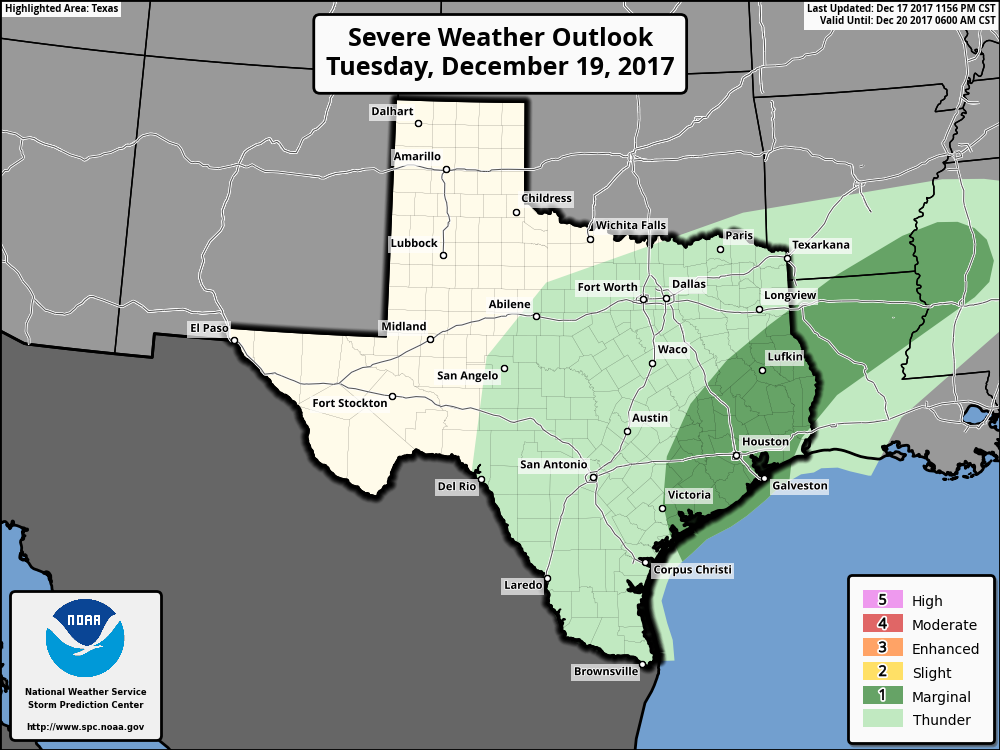
We could have some thunderstorms with the front as it passes also, but as of now severe weather is unlikely. Behind the front, somewhat cooler temperatures will pour into the region.

(Space City Weather is brought to you this month by the Law Office of Murray Newman)

See full post

Houston’s weather roller coaster takes us for a ride

A dreary start to the week will continue today with a number of things to watch for in the region. Let’s get to it.

Today & tonight

Two issues this morning: Fog and rain. Starting with visibility, we’ve got Dense Fog Advisories up for the entire region. Visibility is restricted just about everywhere in Southeast Texas, so give yourself a few extra minutes this morning. Fog will be most persistent near the coast, so if you’re traveling south on I-45 or east on I-10 this morning, you should expect a much slower than usual go of things.

The I-45 Causeway into or out of Galveston is a very foggy drive this morning. (Houston TranStar)

In addition to the fog, we’re also watching rain. Most of the heavier and steadier rain is well north of Houston this morning. If you live in The Woodlands or Conroe or north and west of Houston toward Sealy or Hempstead, you’re seeing occasional rains this morning. Those will probably lift off to the north through the morning.

Radar as of 6:35 this morning shows the steadiest rains well north and west of Houston. Those will shift further north through the day. (GRLevel3)

The rest of today will feature steady to perhaps heavy rainfall almost totally out of the Houston area. This would be most likely north of a Brenham-Huntsville-Lufkin line. In and around Houston itself, we could see a sporadic shower or a thunderstorm. After the fog slowly dissipates this morning (and in places, it may linger into early afternoon), it should be mostly dry. Expect temperatures to reach the mid-70s this afternoon.

Tonight is when we’ll need to pay attention for some quick moving thunderstorms. A cold front should sweep through between roughly 9 PM and 2 AM. It will bring a broken, thin line of storms, which means it’s possible that not everyone sees rain or thunder. That said, parameters over Southeast Texas will be favorable for some of the storms embedded in that line to be strong to severe. A few places may see some gusty winds, and while we can’t entirely rule out a stray storm capable of producing a tornado, that would be most likely well northeast of Houston into the Piney Woods I think.

Behind the front, westerly winds take control, and much drier and slightly cooler air will arrive overnight.

Wednesday

This is the pick of the week. Perhaps it’s the pick of the next few weeks, actually. I mean, it looks stunning. Wednesday should be partly to mostly sunny, not too humid, and quite warm. Expect temperatures to max out in the middle or upper-70s. This is less of a Christmas spirit type day and more of a “this is why we live in Houston” type day. Hope you’re able to enjoy it a bit.

(Space City Weather is brought to you this month by the Law Office of Murray Newman)

See full post

Post-Harvey week in review: December 18, 2017

It’s another Monday, so it’s time for another week in review of articles about Harvey-related issues in Texas. If you missed previous recaps, they are here:

Post-Harvey week in review: December 11, 2017
Post-Harvey week in review: December 4, 2017
Post-Harvey week in review: November 27, 2017
Post-Harvey week in review: November 20, 2017

Just as a note: With Christmas and New Years upcoming on Mondays, we’ll table this feature until next year. Look for this to resume in early 2018.

Reads of the week

The Houston Chronicle’s “Developing Storm” series. Parts one and two are linked in last week’s post. The next three parts are linked below. There should be two more coming soon. These are very much worth your time to read, as they’re educational, informative, and, at times, maddening.

Part 3: What’s in Houston’s worst flood zones? Development worth $13.5 billion (Houston Chronicle): Since 2008, 1,400 structures worth $4.2 billion have been built on floodway parcels in Harris County. Part 3 of the Chronicle’s seven part series examines the differences between floodways and floodplains and how Houston’s regulations have evolved (or haven’t) despite our experience with frequent floods over the years.

Part 4: Harvey overwhelmed some levee systems. Future storms could do worse (Houston Chronicle): Levee systems protecting subdivisions in Fort Bend County probably performed as they were supposed to, but that didn’t prevent over 100 homes from being flooded during Harvey. And by no means do levees guarantee future protection from flooding.

Part 5: Officials patched and prayed while pressure built on Houston’s dams (Houston Chronicle): Addicks and Barker Dams have done enormous service to Houston. Learn about their history and learn how much trouble Houston would be in if they were to fail.

Flooding fact sheets

Continuing on the idea of educating and informing Houston residents: The Greater Houston Flood Mitigation Consortium has published fact sheets to help people in the Houston area better understand terms, technicalities, and flooding risks. Four of them are linked below.

Flood warning systems 
What is a floodplain? 
How to assess flood damage 
What are detention basins?

(Space City Weather is brought to you this month by the Law Office of Murray Newman)

See full post

On and off rain this week, with warmer weather until Friday

Good morning. We are now just one week from Christmas, and there are still some key uncertainties in terms of both temperature and precipitation. We’ll break it down below, but the bottom line is that the last week of 2017 does look quite cold.

Monday

For the first time since Dec. 4, overnight lows didn’t cool down much on Sunday night for most of the city of Houston except northern areas, and lows this morning are generally only down around 60 degrees. Under cloudy skies, don’t expect too much of a warm up with highs in the upper 60s or around 70 degrees. Most of the area should also see at least some light precipitation today, with accumulations of a few tenths of an inch. We don’t anticipate heavy rainfall expect possibly for areas far to the northwest of Houston.

Tuesday

The region’s warm and muggy weather will continue on Tuesday, with a warm night again only down in the low 60s. We’ll also see a decent chance of rainfall during the day and evening hours, especially for inland areas.

Severe weather outlook for Tuesday and Tuesday night. (NOAA)

If you live on the inland side of Highway 59/Interstate 69, accumulations of 0.5 inch or greater are possible, but if you live closer to the coast you can probably expect less than that. A few strong thunderstorms may be possible area-wide later in the day (see the severe weather outlook), most likely during the afternoon or evening hours.

(Space City Weather is brought to you this month by the Law Office of Murray Newman)

See full post