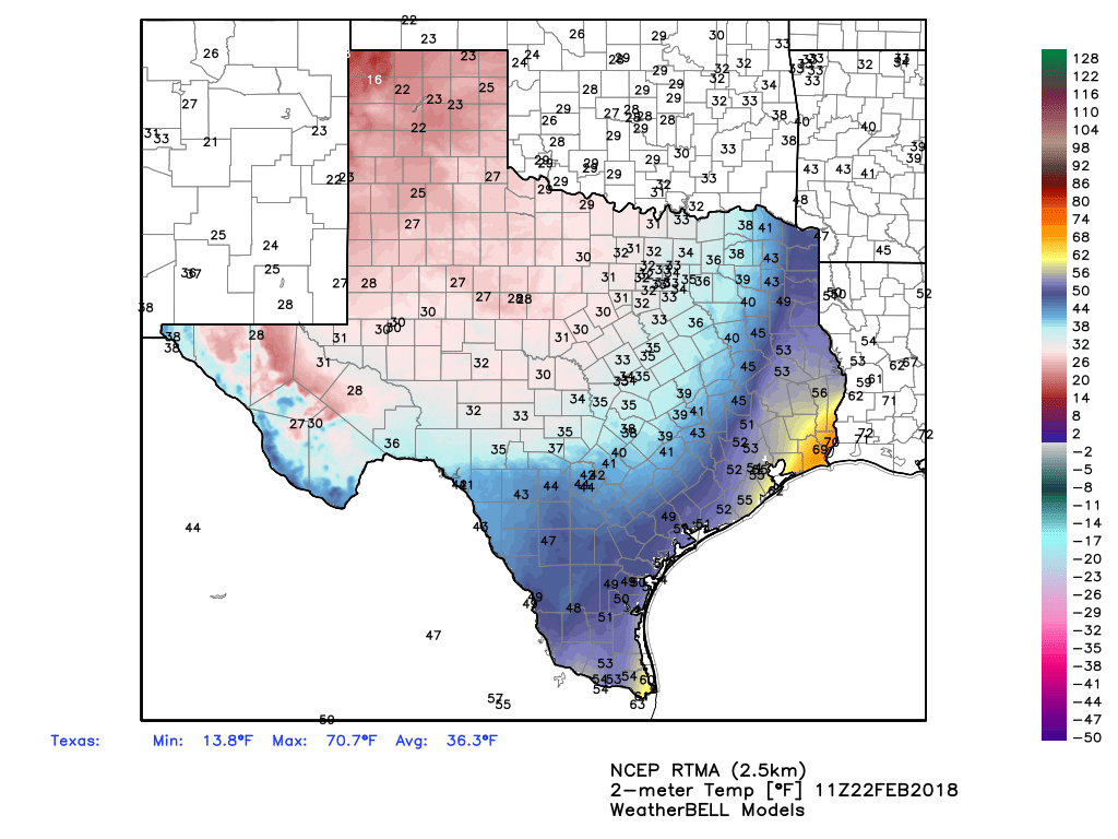
The cold front that has been driving all of the precipitation finally pushed through the Houston area during the overnight hours, and so we’re generally seeing low temperatures in the 50s this morning—with 40s to the west and far north of Houston. The front lies just offshore, so this cold weather won’t last as the warmer air pushes back onshore.
Thursday
High temperatures today will be in the 70s under cloudy skies. Rain chances remain, but we’re not going to see the prolonged, heavier showers the region experienced on Wednesday. About half of the area probably won’t see any rain at all today, especially along the coast. Lows tonight will be warmer, as the onshore flow resumes.
Friday and Saturday
Friday and Saturday will be warmer and muggier under mostly cloudy skies, as Houston falls back into a pattern we’ve experienced a lot of this month. Expect highs in the upper 70s, with southerly winds, and warm nighttime temperatures in the 60s. Rain chances will be lower on Friday, and a bit higher on Saturday as moisture levels ramp back up and a cold front approaches and moves through the area during the evening or overnight hours.