After a pretty nice weekend—Sunday morning’s showers aside—our weather will turn warmer and more humid this week before a strong front arrives before next weekend. We’re not looking at anything too extreme, but we can definitely anticipate some showers and thunderstorms on Thursday and Friday.
Monday
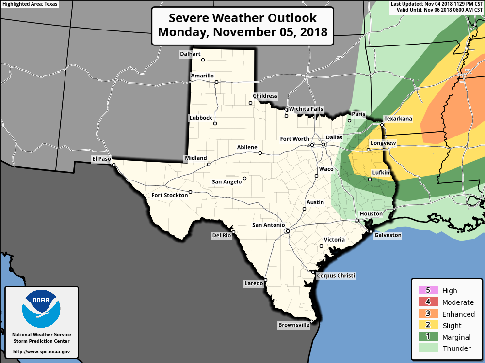
The weak cold front that pushed into the offshore waters on Sunday is moving back onshore today, and we’ll feel that later this afternoon in the form of stronger southerly winds and rising humidity. Expect highs in the low 80s, with mostly cloudy skies. A word of warning if you’re traveling up into east Texas or Arkansas today, as that area faces the potential for some severe weather due to a separate frontal system. Rain chances should be near zero in the Houston metro area itself.
Tuesday
Another warm day, with high temperatures in the low to mid-80s, depending upon the extent of afternoon sunshine in your area. Highs will probably be 8 to 10 degrees warmer than normal for this time of year, but the heat won’t last too long. Rain chances will be in the 10 to 20 percent range.

