Another day of extreme heat before Houston slowly returns to “normal” summer

Houston recorded its third 100-degree day of the year on Monday, when the high reached 101 degrees at Bush Intercontinental Airport. Hobby Airport also recorded its warmest day of the year, with the high hitting 99 degrees. Today will be another scorcher, but then our weather should gradually begin to modify toward more “normal” summertime weather in Houston. Later this week we’ll see the development of clouds, and even some modest rain chances as the high pressure system that’s been dominating our weather weakens.

Tuesday

Alas, there won’t be much (or any) relief today. We’re in for more hot and sunny conditions which should send highs back into the upper-90s—today is probably the region’s last day to break 100 degrees for awhile. Winds will be out of the south at 5 to 10 mph. And once again, overnight low temperatures will likely not fall below 80 degrees for much of the area, and only briefly if they do.

Tuesday’s forecast: Damn hot.

Wednesday and Thursday

These should be a pair of hot and mostly sunny days with highs in the mid- to upper-90s. Rain chances remain minimal, but overnight lows should be a degree or two cooler.

Friday

By week’s end a bit of an atmospheric disturbance may move through the area, and this will provide the region’s first real chance of rain in quite a while. I don’t want to oversell this as rain chances right now look to only be about 30 to 40 percent. And oftentimes, after an extended period of dry weather, forecast models will oversell rain chances. But anyway, the combination of scattered showers and a few more clouds should limit highs to about 95 degrees.

Saturday and Sunday

The weekend looks mostly sunny, with a slight chance of rain, and highs in the low- to mid-90s. This will feel more like a typical July weekend in Houston.

Our weather pattern should turn a bit wetter next week. (Pivotal Weather)

Next week

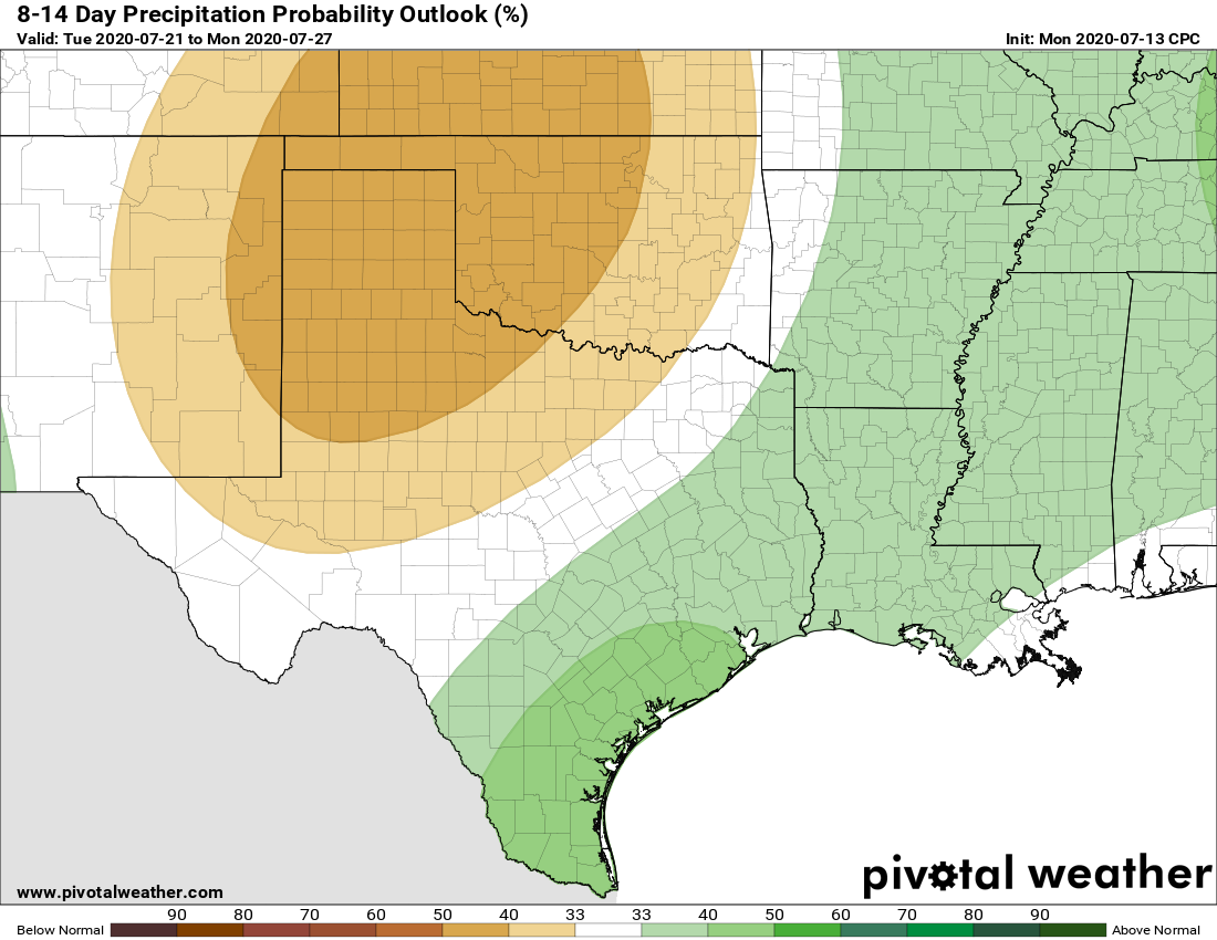
The pattern next week does look more favorable for rain, with high pressure displaced. Expect highs in the low- to mid-90s with decent rain chances beginning on Monday or so.

Houston days, and nights, have been extremely warm

Good morning. Do you remember the brutal summer of 2011? If not, that was the warmest summer on record in Houston—high temperatures failed to reach 100 degrees on exactly one day in August of that year. Most of us who lived through it will probably never forget it.

Well, during the last week Houston has had warm nights that rival the summer of 2011. Matt found that the week ending Saturday morning capped off the warmest 7-day stretch of minimum temperatures on record in the city. For the last 7 days low temperatures have averaged 80.7°. The previous record is 80.6° set in 2011.

Warmest 7-day average minimum temperatures in Houston. (National Weather Service)

That gives you some sense of the magnitude of heat we experienced last week, and which will continue this week. To that end we wanted to remind you that today through Wednesday is the very last chance to enter phase 1 of Reliant’s sweepstakes to win a free AC System. Please visit here to enter for your chance to win. Good luck!

Monday

By now you know the drill as high pressure dominates our region’s weather. Highs today will again be in the upper 90s, with partly sunny skies in the morning giving way to mostly sunny skies during the afternoon. Winds will be light out of the southwest. Overnight lows ill provide scant relief from this weather, possibly not dropping below 80 degrees.

See full post

Summer’s sizzle slogs along for Houston

Thursday was officially the hottest day of 2020 so far. We topped off at 98º yesterday at Bush Intercontinental Airport and 96º (good for second hottest) at Hobby. The forecast for the next week is what we in meteorology call a “persistence” forecast. It is what it sounds like. Today will be a similar version of yesterday. Tomorrow will be similar to today. And so on. While it makes for easy forecasting, it can get old fast, especially when it’s this hot. Alas, let’s focus on those temperatures.

Today through Monday

We will call it partly to mostly sunny through Monday. Upper air temperatures slowly escalate today and tomorrow. They should peak on Sunday and Monday, supportive of high temperatures in the low-100s for Houston. Inland areas will be slightly hotter, while coastal areas should do the mid-90s. Overnight lows struggling to get much below 80º will compound the intensity of the heat. Coastal areas likely will not drop below the low-80s.

Heat index, or what it feels like when you combine the heat and humidity will top off in the upper 100s to mid-110s this weekend. Heat Advisories are likely all weekend. (Weather Bell)

In terms of heat index values, it will be all the worse. Look for our heat indices (or “feels like” temperature if you prefer) to top off around 105º to 110º today and tomorrow afternoons, if not a little hotter. It is possible that we will see heat indices peak in the 110º to 115º range on Sunday and Monday. It’s going to feel miserably hot. A Heat Advisory will go into effect at Noon today, and we will likely see it reissued for Saturday, Sunday, and Monday afternoons. We don’t often talk about heat safety here because, let’s face it, it’s always hot here in summer. This will be next-level sort of heat, even for us, so please remember to drink plenty of water, check the backseat before locking, limit outdoor time in the afternoons, and check in on your neighbors that are elderly or vulnerable.

Tuesday through Thursday

The thermometer is going to take its foot off the gas after Monday. While Tuesday through Thursday should still be plenty hot, look for high temperatures to de-escalate from the low-100s back into the upper-90s. Rain chances appear to remain close to zero through Thursday. Our next real chance of some kind of rain is likely not until next Saturday or so.

Another one bites the dust

Tropical Storm Fay formed yesterday afternoon, becoming the earliest “F” storm (or 6th named storm) on record in the Atlantic Basin. It broke the record previously held by Franklin on July 21, 2005. It also would have broken the old record for earlier “E” storm too had Edouard not beat it to the punch this past weekend. As we’ve noted, in terms of intensities of these storms, 2005 blows this year away, as all of this year’s storms have basically been middling tropical storms thus far. We will discuss this some more in Tuesday’s tropical update.

Tropical Storm Fay has some gusty winds but should not cause any serious widespread problems in the Northeast. (NOAA)

Fay will deliver a dose of gusty winds and heavy rain to the Northeast Corridor, with flood watches hoisted from Delmarva through southern New England. Up to 4 to 6 inches of rain is possible in some locations. Overall, Fay should be equivalent to a moderate nor’easter with a bit more rain, so no significant problems are expected up that way.

For those curious, the earliest “G” storm (7th named storm) also occurred in 2005 and was Gert on July 25th. As of now, we don’t see any legitimate candidates for tropical development over the next 7 to 10 days or so.

Unrelenting heat for the next week in Texas

By now you know the drill for our upcoming weather: Houston and the rest of Texas will feel the influence of a large area of high pressure over the coming week, with heat likely peaking this weekend. Rain chances are effectively non-existent for at least the next seven days, and likely longer.

Thursday and Friday

A mix of clouds and sunshine will help to moderate temperatures slightly, keeping high temperatures in the mid-90s. South winds of about 10mph will offer only a little relief from the heat and humidity, and overnight temperatures will only drop into the upper 70s. Rain chances are near zero.

Saturday and Sunday

The weekend looks extremely hot, with most areas except the coast potentially reaching 100 degrees. Expect sunny days and clear nights.

Almost the entire state of Texas should reach 100 degrees on Sunday. (Pivotal Weather)

First half of next week

The pattern remains more or less the same. Temperatures may back off slightly into the upper 90s, but it will still be hot-hot-hot with ample sunshine.

When does this pattern change?

We’re likely locked into this pattern through at least Thursday or Friday of next week before the high pressure may ease off, allowing for clouds to develop, and bringing back at least the potential for some rain showers. Stay safe, y’all.