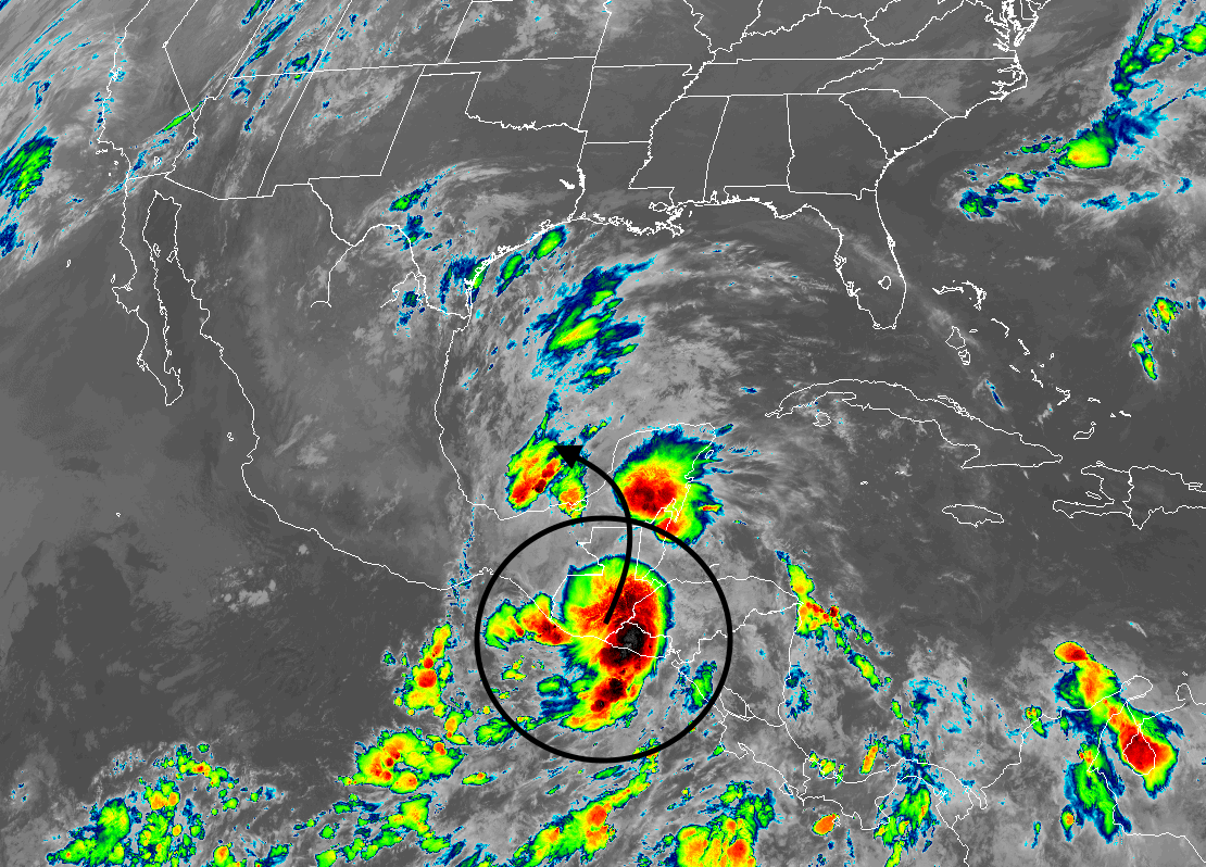
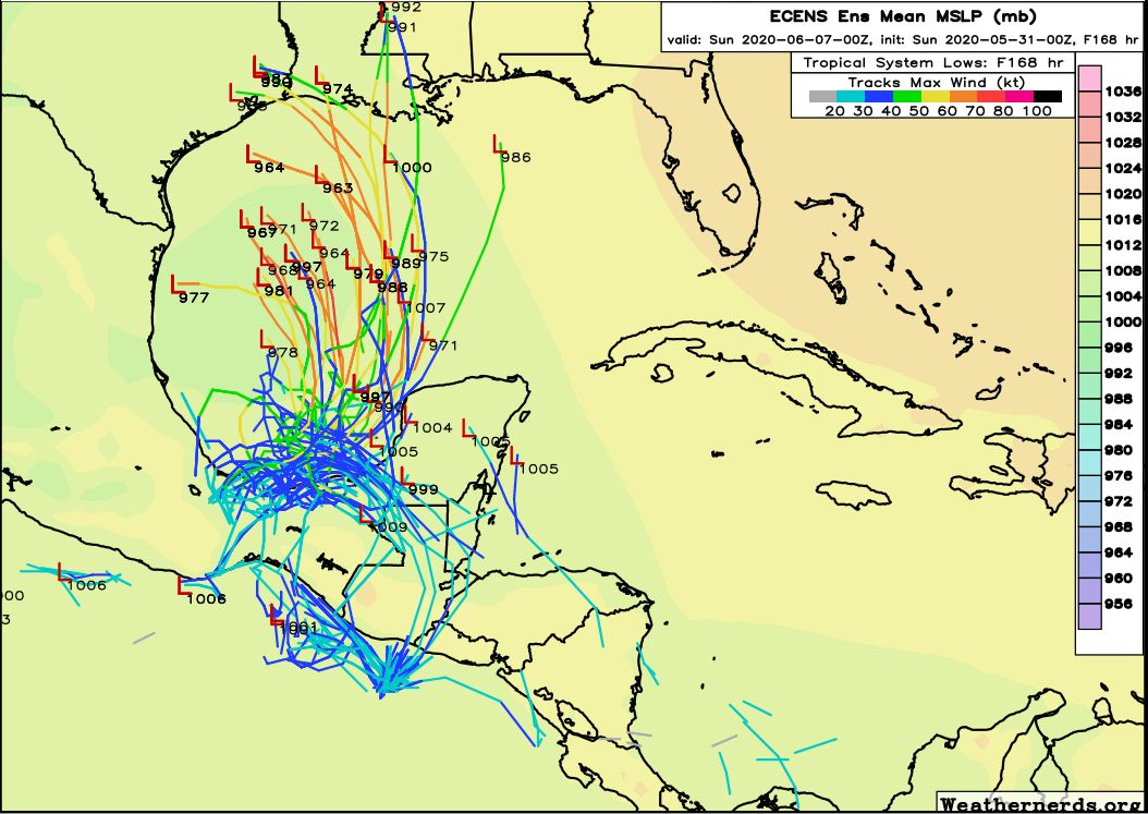
We expected a few scattered showers on Sunday, but nothing like what transpired near downtown. A rain gauge near Magnolia Park, inside the Loop, recorded six inches of rainfall on Sunday afternoon and early evening. This was due to very slow-moving storms associated with an atmospheric disturbance. We honestly don’t expect anything like that today, but the atmosphere sure surprised us this weekend. We’re also continuing to follow a possible tropical development in the Gulf of Mexico later this week.
Monday
Some light showers have developed this morning across parts of Houston, but these should fade out during the later morning hours. As high pressure builds in from the east, this should limit any afternoon showers or thunderstorms to western or southwestern areas of Houston. Skies will be mostly cloudy otherwise, with highs in the mid- to upper-80s for most.
Tuesday
By Tuesday we should probably begin to feel the influence of high pressure a little bit more in Houston, and this should lead to partly sunny skies and temperatures warming to about 90 degrees. Some scattered showers are possible, but most of the region should remain dry.
Wednesday, Thursday, and Friday
For now, these look like days that will be influenced by high pressure. This won’t be one of those classic summertime domes of pressure, but it should be enough to limit any rain showers to brief storms along the sea breeze, if at all. (Given our recent atmospheric blow-ups, it is hard to be entirely confident in this). Mostly, however, we should see partly to mostly sunny days with highs of around 90 degrees. Lows will be in the 70s.