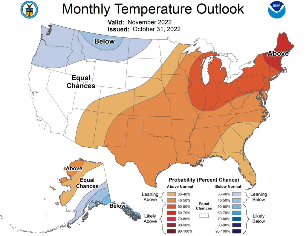
Good morning. We have now made it through October, and thanks to a few fairly strong cold fronts Houston ended with an average temperature of 70.0 degrees. This is 1.8 degrees below normal for the region. Looking ahead to November, NOAA is predicting that we will likely see warmer than normal conditions this month. That seems like a reasonable forecast to me, as looking ahead to the next two weeks I don’t see much evidence for a strong influx of colder air. Things could always change later this month, however.
Tuesday
As expected much of the southern half of the Houston region is seeing light to moderate showers this morning as an atmospheric disturbance combines with moisture from the Gulf of Mexico. These showers are strongest near the coast this morning, but some of these heavier showers may migrate inland a bit later today. Showers will be possible throughout the area into the afternoon hours before ending this evening. Accumulations of one-half inch or more are possible south of Interstate 10, with lesser amounts inland. Expect highs today near 70 degrees, with light easterly winds for the most part. Lows tonight will drop into the 60s.
Astros forecast

Due to concerns about thunderstorms popping up in the middle innings on Monday night, Game 3 of the World Series between the Astros and Phillies was canceled. There are no weather concerns tonight. Look for game time temperatures in the low 60s at 7 pm CT, and not dropping a while lot. Winds will be very light (breathe easy, Yankees fans). Skies should be clear. Let’s go Astros!
Wednesday and Thursday
Back in Houston, skies should clear out some by Wednesday morning, and I expect a pair of partly to mostly sunny days as a result. Look for highs in the upper 70s on Wednesday, and perhaps around 80 degrees on Thursday. As dewpoints rise to near 70 degrees, the air will feel fairly humid, and lows will struggle to fall much below 70 degrees.
Friday and Friday night
Friday looks to be the warmest day of the week, with highs in the low 80s and muggy air. It won’t be summer, but it certainly won’t be crisp outside. Look for partly sunny skies. At some point—probably after sunset Friday, and before sunrise on Saturday—it looks like a line of showers will form ahead of a modest cool front moving down into the region. It is too early to have much confidence, but this line of storms could bring some severe weather with it. We should get a better sense of this in a day or two.
Saturday
Showers associated with the front should end on Saturday morning, and in their wake we should see clearing skies and breezy northerly winds. Highs on Saturday likely will get into the mid-70s. Lows drop into the 50s.
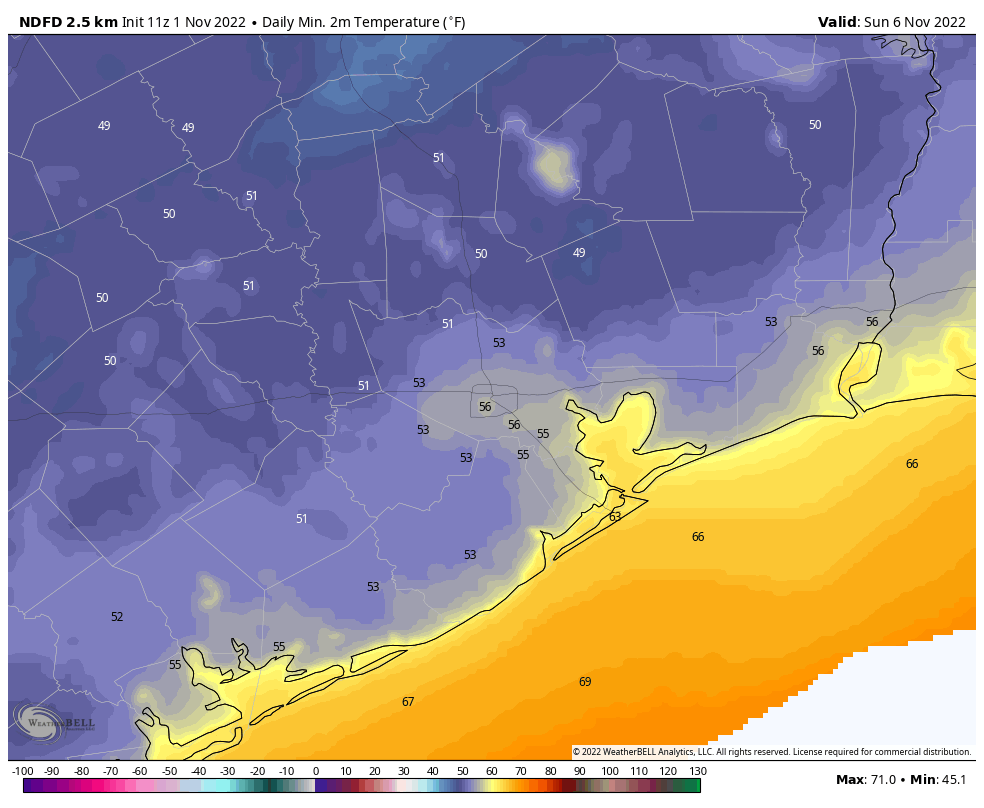
Sunday
This looks like a mostly sunny and fine day, with highs likely in the upper 70s. The morning will start out with ample dry air, but the southerly flow will reestablish itself fairly quickly, so look for increasingly humid air by Sunday night. Lows will likely only drop into the 60s.
Next week
I would expect a couple of warmish days in the low 80s next week before some sort of additional front comes through. I don’t have any confidence in the details, however.
Thanks for the Astros forecast!