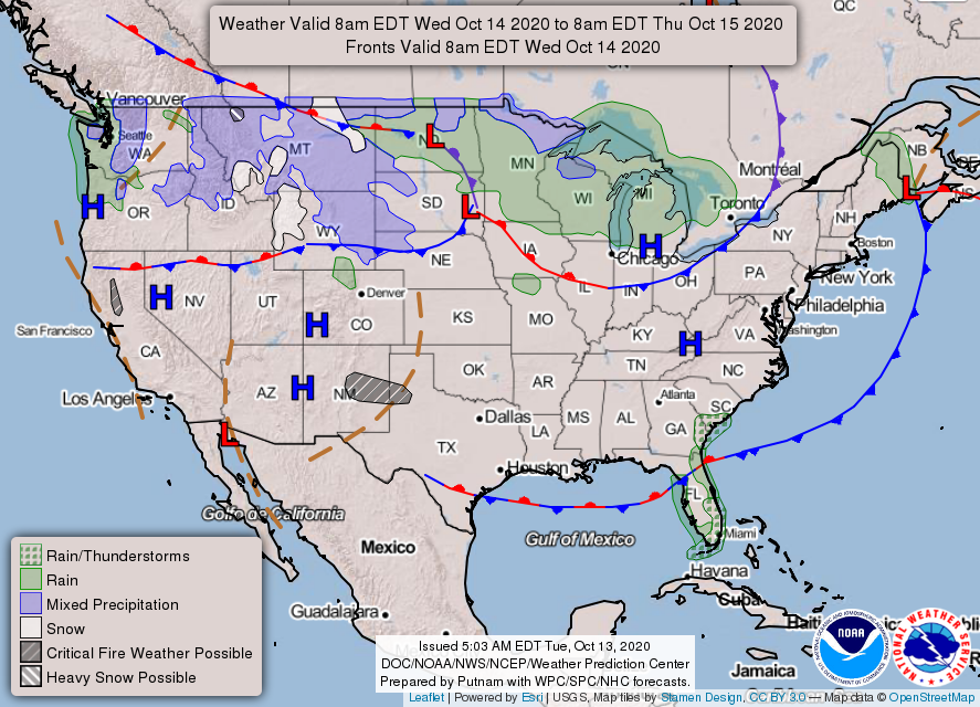
Houston hit 92 degrees on Monday at Bush Intercontinental Airport before a moderate cool front pashed through the region overnight. I’m not making any guarantees, but if I had to guess this probably was the last 90-degree day of this calendar year for Houston. We may get close again a day or two this week, but a stronger front will arrive by Friday morning. The bottom line is that fall will start to feel more like fall in the days ahead.
Tuesday
The region will see sunny skies today in the wake of the front, and highs should push into the mid- to upper-80s as our drier air warms more quickly. But this should also allow temperatures to drop more quickly as the Sun goes down. Lows tonight should drop to around 60 degrees to the north and west of Houston, and in to the mid-60s in the city itself. Winds will be light, out of the northeast.

Wednesday
Another sunny day, similar to Tuesday. As winds shift to the south during the afternoon we’ll see the beginnings of an onshore flow that will make for more humid conditions overnight and on Thursday.
Thursday
This day will see plenty of sunshine too, but may feel warmer due to increasing humidity. Expect highs to reach the upper 80s—here’s where we risk some areas touching 90 degrees again. A stronger front is expected to cross the region on Friday morning, likely reaching the coast around sunrise, give or take. This may produce some showers overnight. Right now I’d peg rain chances at about 40 percent for the area, with light accumulations of perhaps one to two tenths of an inch of rain.
Friday
Some morning clouds should give way to afternoon sunshine, as highs remain in the 70s for most of Houston in the wake of the front. Friday night should be the coolest of the week, with lows generally dropping into the 50s across the area except for the immediate coast.

Saturday, Sunday, and beyond
Highs on Saturday should remain in the upper 70s to 80 degrees, with a lot more sunshine, followed by slightly warmer conditions on Sunday—which also will be sunny—following the return of the onshore flow. Next week’s weather is a bit uncertain as it is not clear whether another front will make it through by Tuesday or so.

We left Breckenridge Sunday noon and encountered very heavy snow on I-70 for an hour as a result of a front pushing through. Is that the same front that just arrived here?