Well, thank goodness that’s over. Another weekend of seemingly unending rain. Surely that can’t happen again, right? RIGHT? Don’t worry, we’re going to talk about next weekend.
TODAY and TUESDAY
Weak winds and very wet grounds have created some foggy conditions this morning, and a dense fog advisory is in effect until 9 a.m.
With clearing skies the rest of Monday and Tuesday look great, with mostly sunny skies and high temperatures in the mid- to upper-70s. Lows around 60. Enjoy the great fall weather.
WEDNESDAY and THURSDAY
The humidity returns, and along with a moist flow off the Gulf of Mexico so does some cloud cover. Highs around 80, with lows around 70 degrees. Additionally, with the moisture, there’s a chance for some light rain on Thursday. Most areas probably won’t see much, if any.
FRIDAY and SATURDAY
A slow moving cold front will be coming down from the northwest. There’s not much confidence in rain totals due to the interaction of the front and the warm, moist air over the coast. I don’t expect another explosive rain event, however.
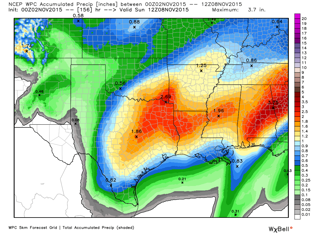
At this point I would guess most areas will see 1 to 2 inches during a period of Friday morning through Saturday night. Although grounds are saturated those kinds of totals shouldn’t cause major problems. Obviously if we get more then that is a different discussion. We’ll have to refine this forecast as we get closer to the weekend.
BEYOND
It appears the front will clear us out sometime on Sunday morning. After that Houston should see some of its coolest weather this fall, with lows around 50 degrees for most of the area by Monday morning.