As expected it’s quite cold this morning, with temperatures just below freezing in Conroe and points north, and in the low 40s closer to the coast. It won’t last.
TODAY
Under the influence of high pressure we’ll see cool, sunny and gorgeous weather today with highs in the mid- to upper-60s.
TUESDAY
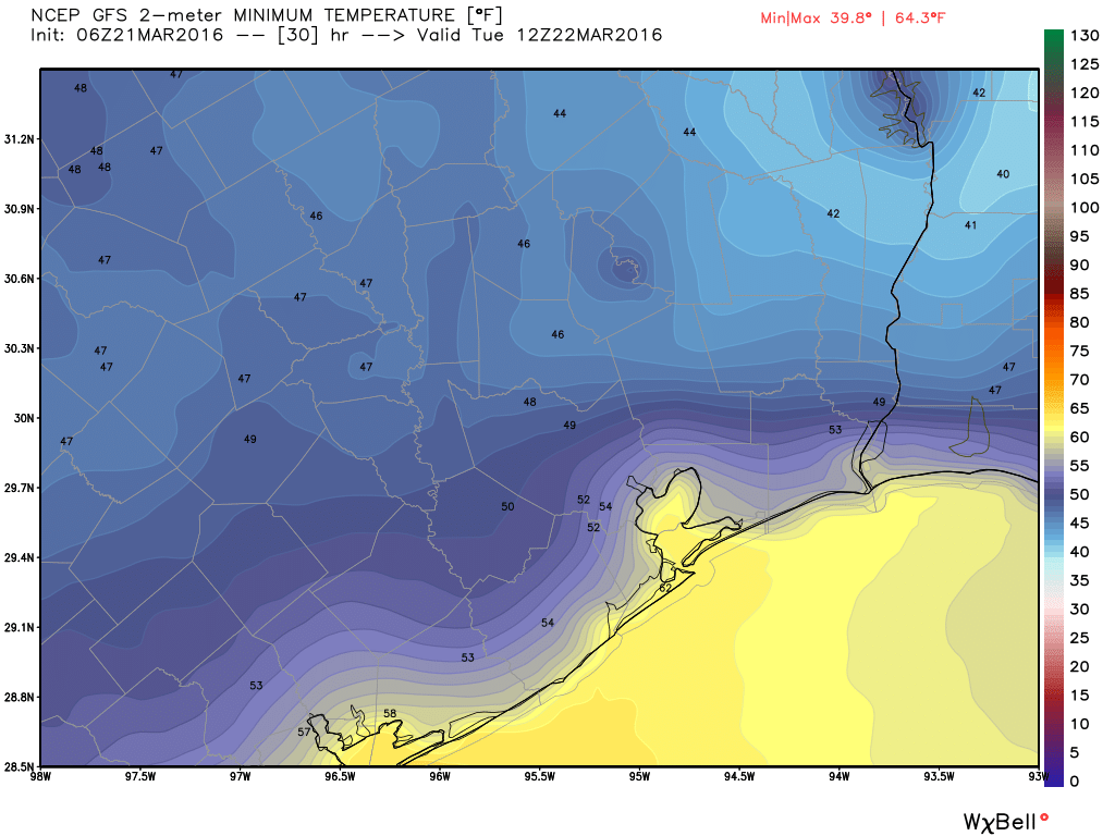
Another cool morning, but lows will likely fall only into the upper 40s across the metro area. However a fairly brisk wind should pick up out of the south during the day, bringing back that familiar Gulf of Mexico moisture. Highs in the mid-70s
WEDNESDAY
As southerly winds continue we’ll see warm weather, with highs around 80 degrees under partly cloudy skies. There’s a slight chance of rain Wednesday afternoon and evening as a cold front approaches, and better chances during the overnight hours as the front itself moves through.
THURSDAY
The region may see a few hundredths to tenths of an inch of rain along with the front, which should move through sometime between midnight and sunrise on Thursday, but I don’t anticipate we’ll see anything too severe. Skies should clear after the front, especially during the afternoon hours, with highs near 70 degrees.
FRIDAY
Mostly sunny in the wake of the front, a high around 70 degrees.
SATURDAY and EASTER SUNDAY
The weekend is a bit in flux at this time due to a quick return of Gulf of Mexico moisture on Saturday, which could allow for a very slight chance of rain, and possibly another cool front arriving on Sunday. Some rain is possible with this front, but that, and its timing, remains highly uncertain at this time. As the Easter forecast comes into better focus I’ll be sure to keep you updated.