What a contrast in conditions this morning across Houston compared to the last couple of days, with temperatures generally in the low- to mid-70s out there. It’s September-like.
TODAY
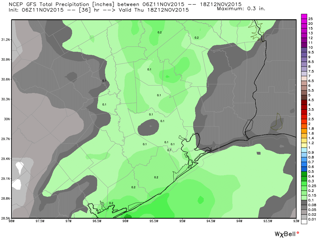
It also won’t last. A cold front remains on track to cross through the region, likely between about 9 p.m. and early Thursday morning. There’s a chance of rain with the front but I think we’re looking at a tenth of an inch or two, at most. As a result I expect to see scattered light rain this afternoon, with short-duration showers of moderate intensity between 6 p.m. and midnight.
Highs today, before the front, will be in the low 80s. It’ll definitely be a muggy day.
THURSDAY-SATURDAY
The front will bring us three gorgeous days and nights. Thursday through Saturday will see highs in the upper 60s to 70 degrees, partly sunny days and lows in the lower 50s. Not much more to say other than to enjoy the great fall weather!
BEYOND
Sunday looks decent, with a chance of scattered showers and highs around 70 degrees. I don’t expect too many people to see rain, but we will see the return of more humid air.
Sometime in the Monday to Wednesday time period next week the next storm system will arrive, and there’s the potential for a couple inches of rain. I’m not expecting a total washout, but I can’t rule out the possibility of some severe weather. After the front the second half of next week could bring lows in the 40s for much of the area.
Posted at 6:40 a.m. Wednesday
At first I was excited about the potential for cool weather. What a great opportunity to spend some time outside!
Then I got swarmed by mosquitoes when I took the dog outside. Oh well; I guess it’s another day indoors.
Should be much better the next couple of evenings.