We are only a little more than a month away from the beginning of the 2022 Atlantic hurricane season, and the early indications are that we will see yet another busy season in Atlantic Ocean, Gulf of Mexico, and Caribbean Sea. Phil Klotzbach released his first extended range forecast earlier this month, predicting 19 named storms, or about 25 percent above-normal activity. Then, on Wednesday, Klotzbach shared another data point. The latest modeling suggests that the Pacific Ocean is likely to fall into a La Niña pattern during August, September, and October.
The issue here is that when La Niña forms in the Pacific, inducing a general cooling of sea surface temperatures near the equator there, it tends to increase Atlantic hurricane activity by making conditions more favorable for tropical systems to develop and strengthen. Seasonal forecasting is not perfect, of course, but with hurricane season rapidly coming upon us, this is your reminder to start making preparations. Accordingly, the State of Texas is having a sales tax holiday this weekend for emergency supplies, from April 23 to April 25. Full details are here.
Thursday
Conditions today will once again, you guessed it, be windy and warm. Look for highs in the mid-80s with partly sunny skies. Winds will blow from the southeast at about 15 mph, with gusts up to 25 mph or so. With dewpoints near 70 degrees, it will feel plenty sticky outside. Overnight lows are unlikely to fall below 70 degrees on Thursday night.
Friday
See Thursday’s forecast.
Saturday
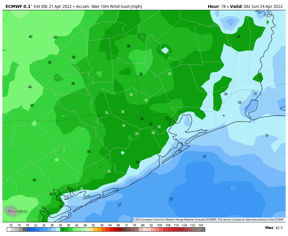
The first half of the weekend will bring more of the same conditions, with highs in the 80s and partly to mostly sunny skies. However, as we’re caught between low pressure and high pressure systems, expect winds to be that little bit stronger on Saturday. We might see gusts of 30 mph or higher at times. Over night lows will again not fall much, if any, below 70 degrees.
Sunday
Winds will relax a little bit on Sunday, but there will still be a persistent southeasterly flow to go along with our mostly sunny skies and highs in the upper 80s.
Monday and beyond
Confidence is reasonably high in a front approaching our region on Monday and bringing some widespread (and much needed) rain showers to the region. Early guidance indicates that the better rain chances will be inland of Interstate 10, rather than along the coast, but we shall see. It’s my hope that most of the area picks up an inch or so of rainfall, but some of us will very probably see less than that. The rains are needed as our region slides toward a severe drought, which I’m guessing Matt will probably discuss on Friday. Lows will probably drop to around 60 degrees with some drier air for a couple of days after the front.
Hey guys – good news of a front next week. As we get closer to Apr 30/May 1 please give us updates of the weather along the route of the MS150. Houston to LaGrange on Sat and La Grange to College Station on Sun. We request tailwinds and no rain both days!
On Saturday, there will be wind gusts from 36 to 38 miles per hour presumably from the southeast, extrapolating from today’s forecast.
“Sunday
Winds will relax a little bit on Sunday, but there will still be a persistent southeasterly flow to go along with our mostly sunny skies and highs in the upper 80s.”
Whoops. My reply above is for this weekend and not the week of April 30/ May 1 weekend. I am sorry if my previous reply has caused any inconvenience.
I think he’s talking about next weekend
How might these potential hurricanes impact Katy? (Kidding…)
I’ve already started to evacuate Katy to get ahead of the traffic!
“Wonderful” tropical forecast. I just love spending all of July, August, September, and now half of October wondering if we’re going to get hit by whatever storm is in the Gulf and if it’s going to be a 3, 4, 5 (or higher) when it gets here.
Having lived here for many decades, it is just standard operating procedure to assume hurricanes will happen from late August through late September.
After all, the Gulf and the Atlantic have had the prior summer months to warm up so late August to late September is “prime time”. With global warming, the window is likely to creep into early October.
That being said, one may as well take advantage of this weekend’s tax holiday on emergency supplies – and even if you don’t give one whit about supplies, at least you’ll save that cash during this inflationary time.
any forecast for MS150 next weekend?
Was talking to a neighbor this morning about memories of Hurricane Ike here in San Leon. Going to be taking things very seriously this year. Most everyone I am talking to is thinking this just might be the year for the next storm.
I was hoping that the tax-free weekend would cover these portable power stations, but it doesn’t look like they qualify.
https://www.jackeryportablepowerstation.com/
Reminder: This is tax-free weekend for emergency prep supplies up to a certain price point. Since links are iffy to share in comments, check comptroller dot texas dot gov and search for doc 98-1017.
We need the rain. It’s getting serious, if the region enters the summer in a severe drought, this could be Summer 2011……. The Rematch!
Let’s hope for a wet May to rescue us out of drought as last year.