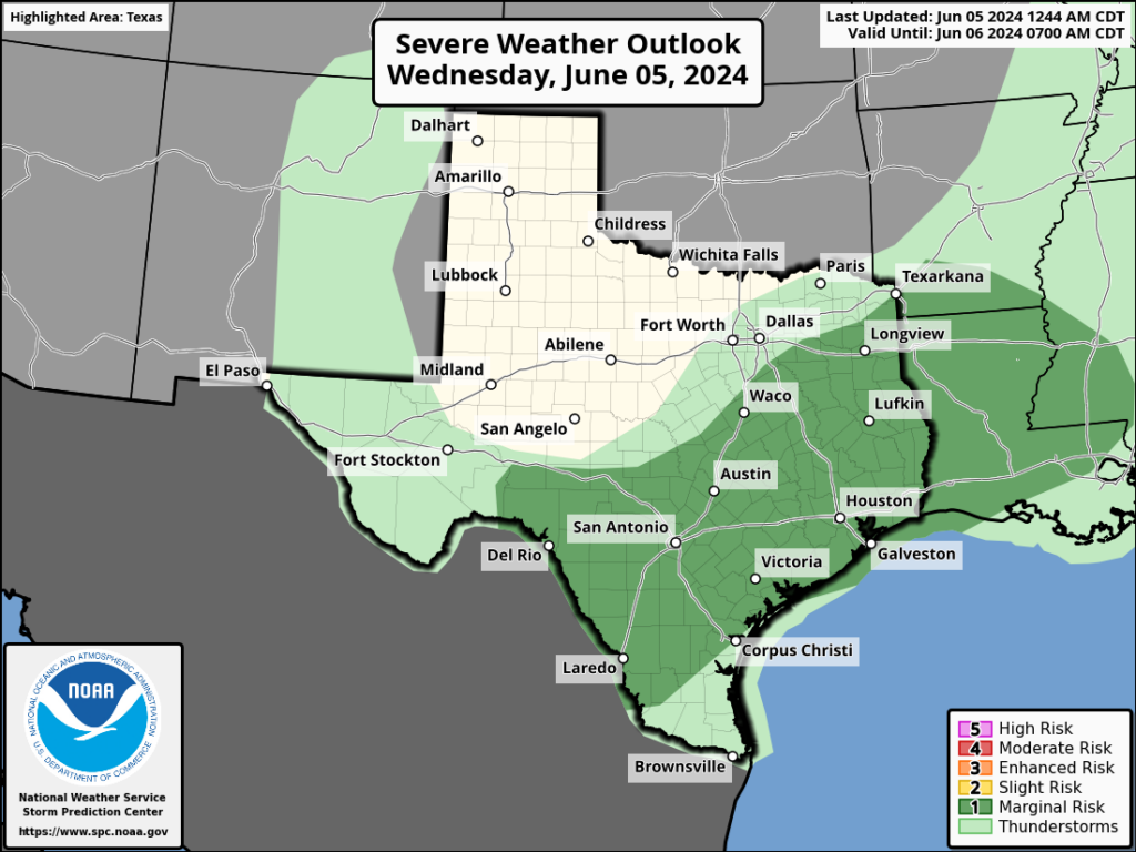
In brief: After Wednesday’s showers and thunderstorms, high pressure is more fully in control of our weather and should dominate through the weekend. We’ll have plenty of sunshine, and highs in the mid-90s. By Monday some rain chances return and we’re likely to see some slightly cooler temperatures. But the extent of the rain remains an open question.
Thursday
High pressure has settled into place, and this will set the stage for warmer and sunnier weather for the next four days. This pattern of generally sinking air and a capping inversion should preclude the development of any showers until at least Monday.
A couple of factors will combine to push highs into the mid-90s and, for some inland locations, possibly the upper 90s. These are consistent sunshine during the daytime hours and slightly lower dewpoints. While a dewpoint of 70 degrees is by no means comfortable, it is considerably lower than we’ve seen at points this summer. So mornings and evenings over the next few days will be warm, but ever so slightly less humid. Low temperatures tonight should drop into the mid-70s.
Friday
Another hot and sunny day. Additionally, we’ll see light winds, generally at just 5 to 10 mph from the south.
Saturday and Sunday
We’re likely to see continued hot and sunny weather through the weekend, with most locations reaching high temperatures of around 95 degrees. Please do be mindful of the potential for sunburns and skin cancer due to exposure. We are just two weeks from the summer solstice, when the Sun reaches the highest point in the sky. The bottom line is that you can burn quickly during the middle hours of the day.
Next week
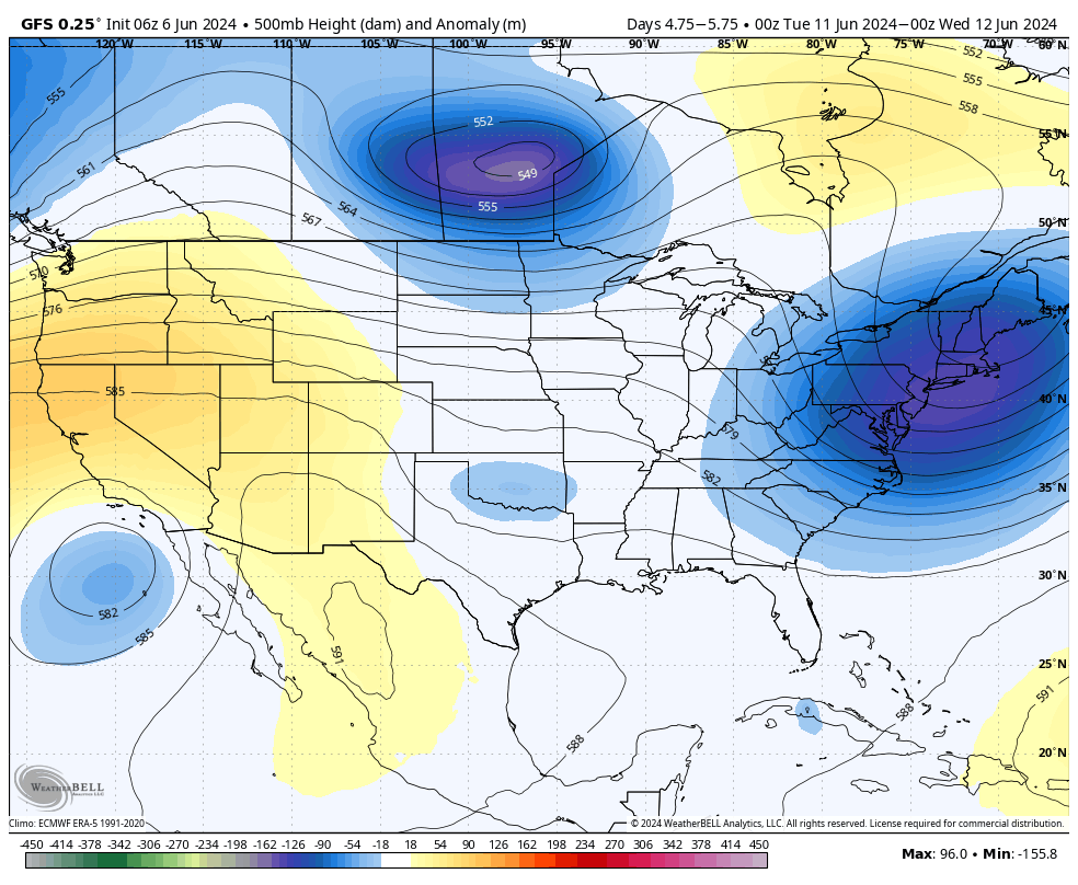
Some sort of pattern change is is in store for early next week. However, I’m afraid that, at this point, a weak front is unlikely to push all the way into Houston. My best guess for what we see is some increased cloud cover and better rain chances for a few days, perhaps Monday through Wednesday. This, in turn, is likely to help keep daily temperatures in the 90 to 93-degree range, which is fairly typical for this time of year. In any case, I don’t think we’re looking at any crazy kind of storm activity or heavy rainfall potential, probably just light to moderate showers. But as always, we’ll need to fine tune this forecast as we get closer.
Hurricane season
There’s nothing of note yet in the tropics, but we’re starting to see some indications that Atlantic storm activity may start to pick up a little bit in about 10 days. Please join me this afternoon to discuss the season ahead with Reliant’s Lyris Leos. We’ll be taking your questions starting at 2 pm CT on Facebook Live.