Summary: We’re seeing the return of Spring not just in weather, but nature, with a profusion of bugs. Temperatures in the days ahead will do little to deter them, with highs in the 80s for the work week before we cool off a bit this weekend. We could see some showers on Friday ahead of a front.
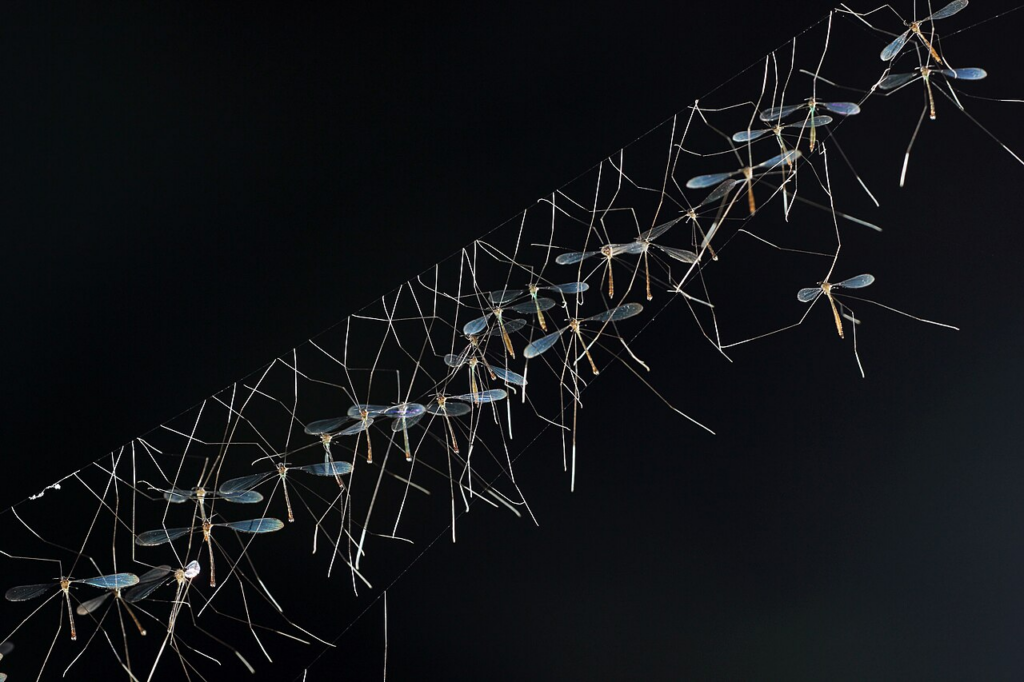
The bugs are back, baby
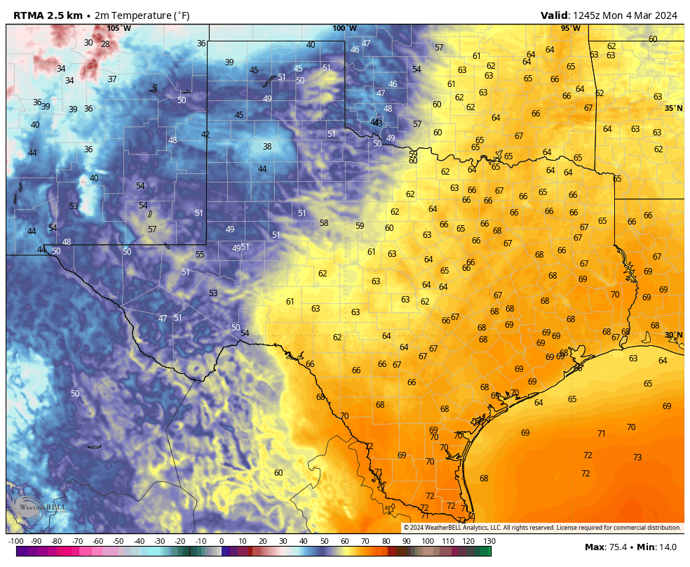
February was rather mild across the Houston area, with an average temperature about 4 degrees warmer than normal. March has started more or less the same, and with temperatures today in the mid- to upper-80s it will definitely feel like winter is an afterthought. As one walks around outside there are other signs as well. The mosquito hawks, large and harmless flying insects, are thick as thieves in my neighborhood. (Their formal name is crane fly, by the way). And at night it sounds like the June bugs are popping like popcorn has they hit the window. Tree pollen numbers are rising. Pretty soon, I have no doubt, we’ll see increasing mosquito activity.
Looking ahead to the forecast it seems pretty clear that Spring is here to stay. Our next two fronts, this weekend and next weekend, roughly, will knock low temperatures down into the 40s for a few days. But there are no signs on the horizon of any really strong or prolonged cold snaps. So in this case nature is not lying. Spring has sprung, and the bugs are back.
Tuesday
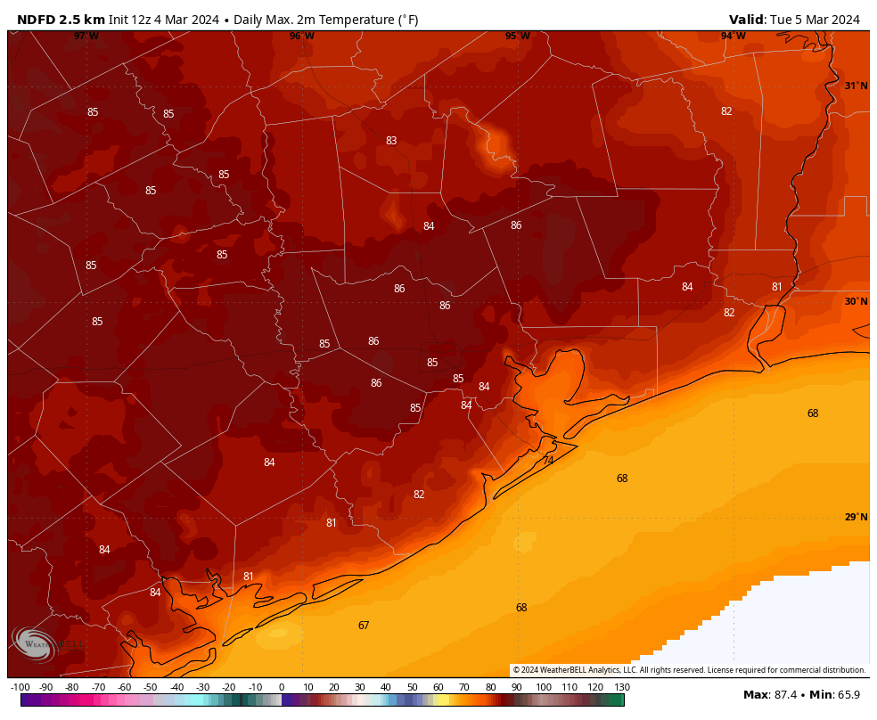
Coastal counties are seeing fog this morning, but it will burn off by mid-morning at the latest. In its wake, later today, we should see mostly sunny skies. This sunshine, along with some slightly drier air, will allow highs to pop up into the mid- to upper-80s today—possibly our warmest day of 2024 so far. This daytime heating and an atmosphere that is slightly disturbed may lead to some highly isolated thunderstorms later this morning, and during the afternoon hours, but I’d put chances of that at about 10 percent. Mostly, it will be warm and sunny.

Rodeo weather
There should be no concerns about attending the rodeo this evening. Temperatures will be mild, in the 70s, with light winds and partly to mostly clear skies. Post-show temperatures will still be in the upper-60s, so not really a chill in the air. Overnight lows will drop into the mid-60s, with a potential for returning fog by early Wednesday morning.
Wednesday
Wednesday will be warm and mostly sunny again, with highs likely reaching the low- to mid-80s. Lows again will only drop into the 60s.
Thursday
A cloudier pattern sets in on Thursday, and this should limit highs to the upper 70s to 80 degrees.
Friday
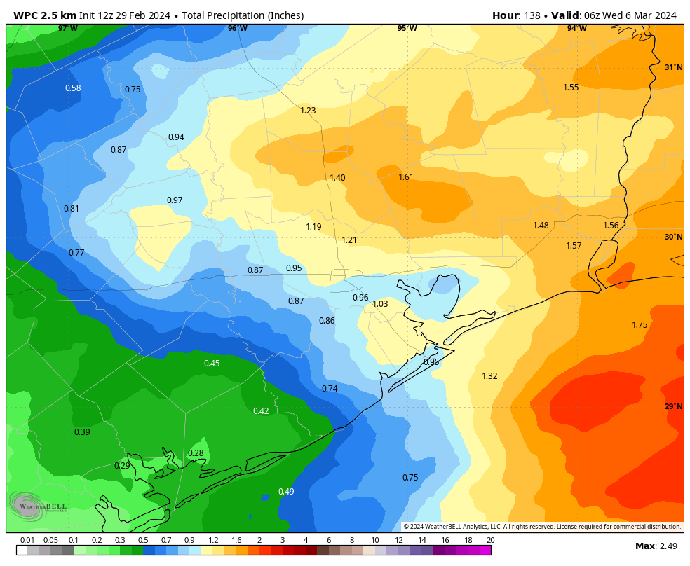
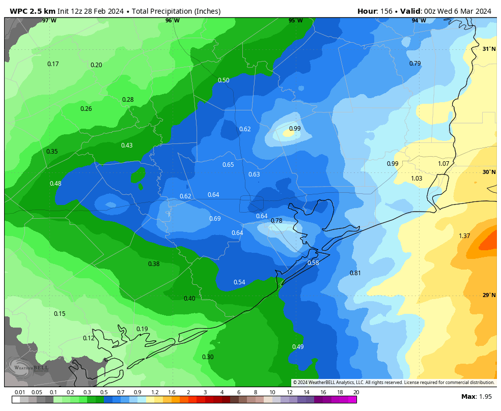
Atmospheric moisture will surge on Friday, leading to a more humid day and a decent chance of rain ahead of the next front. For areas north of Houston, such as Conroe and Huntsville, it looks like the atmosphere will support the possibility of stronger thunderstorms. However closer to downtown Houston and the coast, we should see a weakening trend in the intensity of rainfall. Overall, I’d expect accumulations of between a few tenths of an inch and 0.5 inch, with about a 50 percent chance of rain. The best chances will come during the morning hours.
Highs Friday will be in the upper 70s, with mostly cloudy skies. A front will arrive, but not until the afternoon or evening hours most likely. Lows on Friday night should drop into the 50s.
Saturday and Sunday
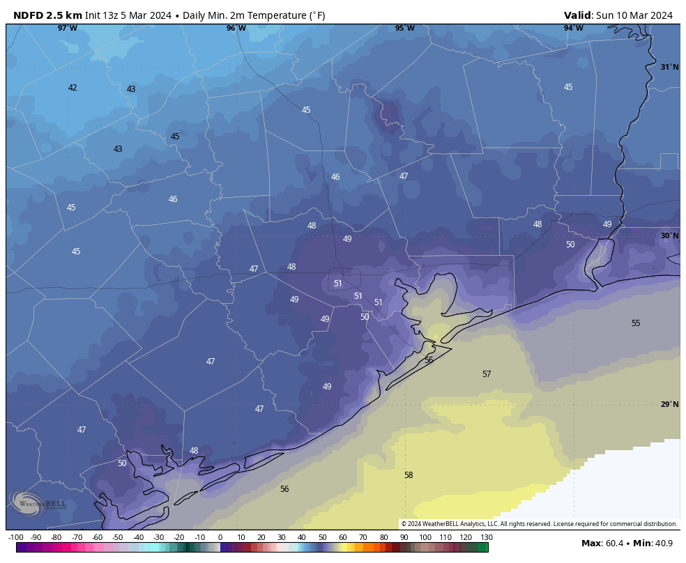
The weekend looks pleasant, with highs in the upper 60s to 70 degrees and mostly sunny skies. Saturday does look breezy, with gusts above 20 mph as drier air moves in. Winds die down overnight. Lows will be in the upper 40s to 50 degrees—so cool, but not exactly cold.
Next week
Most of next week should bring temperatures in the 70s. Of note is the possibility for some decent rainfall accumulations toward the middle to end of next week. After a wet winter it’s been fairly dry of late, so an inch or so would not be unwelcome. Eventually some sort of front should cool us back down, at least a bit, for the following weekend.