Good morning. Since the forecast is pretty much unchanged—expect very hot and sunny weather for the foreseeable future—I want to briefly address a question I’ve received several times. And that is, why does Apple’s weather app consistently show a 30 to 50 percent chance of rain for the next several days?
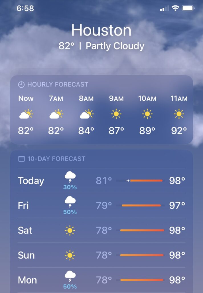
Now if we’re to believe this forecast, there is a 30 percent chance of rain today, and a healthy 50 percent chance on Friday. And since Apple makes some pretty amazing hardware and software, it’s difficult to doubt Apple. But in this case, the Apple weather app is just massively wrong. The rain chances today are not 30 percent, but rather about 3 percent (as the Space City Weather app, which is not flawless I will say, suggests). And while I would dearly love to be wrong, a 50 percent chance of rain on Friday is preposterous.
This has been a persistent forecast within Apple’s weather app for awhile now. I honestly don’t know why this is occurring because there is no credible modeling suggesting this will happen, and it entirely defies everything I know about meteorology given the current pattern. My only thought is that while AI and automated forecasts are promising, they still require some human curation. Which we endeavor to provide.
Thursday
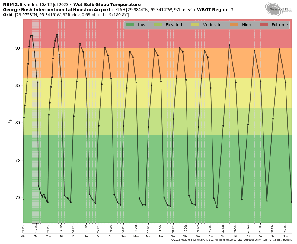
Meanwhile, back in the real world, we’ve got another excessive heat warning today, with high temperatures of about 100 degrees and a heat index pushing past 110 degrees. The only notable change is that winds out of the south will be a little bit more pronounced, up to about 20 mph. Lows tonight will drop to around 80 degrees.
Friday
Slightly drier air could push us out of “excessive” heat territory into a simpler heat advisory, but it’s still going to be dang hot. Rain chances are in the sub-5 percent category.
Saturday and Sunday
The weekend will be sunny and hot, with rain chances near zero percent.
Next week
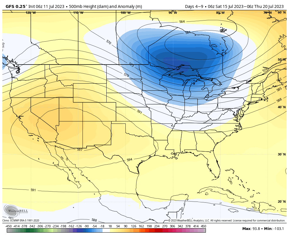
Honestly, there’s not a whole lot of change in sight for next week as a ridge of high pressure remains dominant over our weather. Maybe, if I squint, there’s a bit of optimism for returning rain chances by the end of next week. But it’s not a bet I’m placing with confidence.