There are two things I want to talk about before jumping into the forecast for this week—a forecast I would classify as not great, but far from terrible. To start with, I want to thank everyone who came out to our first Fall Day celebration at the Houston Botanic Garden on a gorgeous Sunday. We should get a final tally today, but I think 400 or 500 people came by to say hello, and it was just wonderful to meet you all.
Matt and I also want to say a huge thank you to Reliant, who went above and beyond to organize and support this event on short notice. Megan, Pat, and the events team there did a spectacular job of ensuring there were activities for kids, coffee and snacks, and finding the great location. It’s due to our long-term partnership with Reliant, now more than five years running, that we’re able to hold events like this.

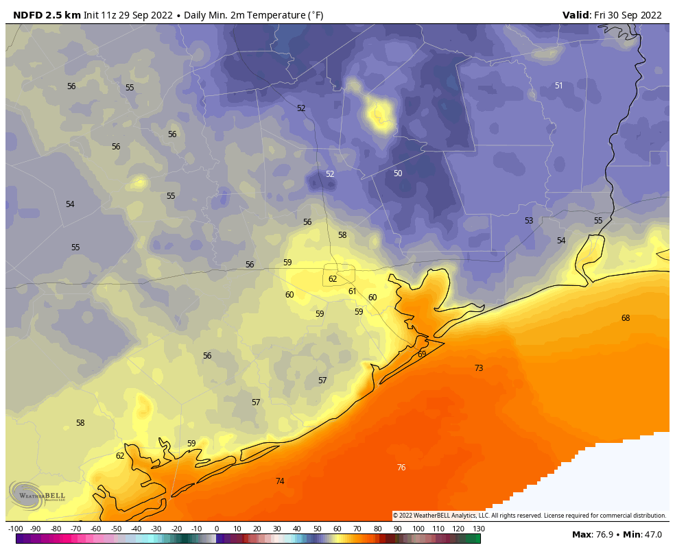
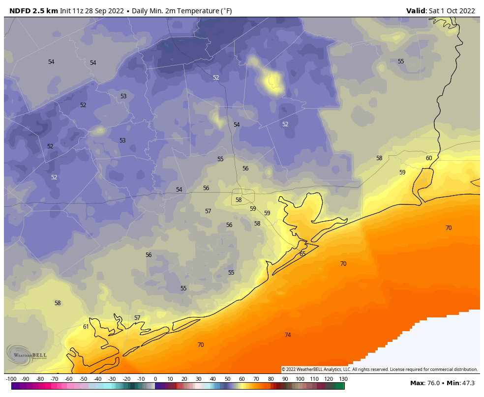
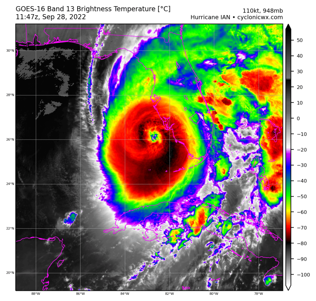
If you were at the Fall Day event, you may have heard me announce what has been clear for awhile now—the 2022 Texas hurricane season is over. This is something we could have written last week, but it felt inappropriate to do so as Florida was getting slammed by Hurricane Ian.
The Atlantic hurricane season runs from June 1 through November 30, but due to a variety of factors including a shifting jet stream at this time of year, it is rare for Texas to get struck by a hurricane after the end of September. This year, based on what we’re seeing in the tropics at present, should be no different. A freak storm is always possible, and we may see some tropical moisture at some point, but you should feel free to let your guard down. We made it!
Monday
I’m afraid this week won’t bring the same, absolutely splendid weather we saw at the end of September and early October. However, we’re not going back to full-on summer either. While the air will be more humid than last week, mornings and evenings will still be fairly pleasant.
High temperatures on Monday will reach the upper 80s under mostly sunny skies, with light winds out of the northeast at 5 mph or so. We may start to see some clouds higher in the atmosphere later today and tonight, and these will be related to Hurricane Orlene, a Category-2 storm in the Pacific making landfall in western Mexico today. Alas, we won’t see enough moisture from Orlene to bring much needed rainfall to our area. Lows tonight will drop into the mid-60s in Houston, with cooler conditions inland.
Tuesday, Wednesday, and Thursday
The story of the mid-week will be that of a slowly warming trend, with daytime highs rising from the upper 80s to 90 degrees, and overnight lows from the mid-60s to the upper-60s. However, in terms of humidity the dewpoints—a measurement of moisture in the atmosphere—are still going to remain in the 60s. What does this mean? Simply that while our air will feel more humid, it won’t be uncomfortably or oppressively so. Skies will be mostly sunny with, alas, very little chance of rain.
Friday, Saturday, and Sunday
Highs will be around 90 degrees this Friday, but at some point later in the day, or overnight, a weak front should push into the area. Don’t expect miracles from this one. For starters, it seems unlikely to produce any rainfall. But it should knock the humidity back some, and trim a few degrees off our daytime and nighttime temperatures. Honestly, with mostly sunny skies and highs in the 80s, this weekend should again be pretty nice.
I know you’re all wondering about rainfall. The bad news is that it’s still a ways off. The somewhat hopeful news is that, with the next front, which I would pencil in around October 13 or 14, the models do seem a little more bullish about rain chances. I would caution that this is 10 days out, so it lies at or just beyond the edge of our ability to predict. But I’m an optimist, so I’m saying there’s a chance …