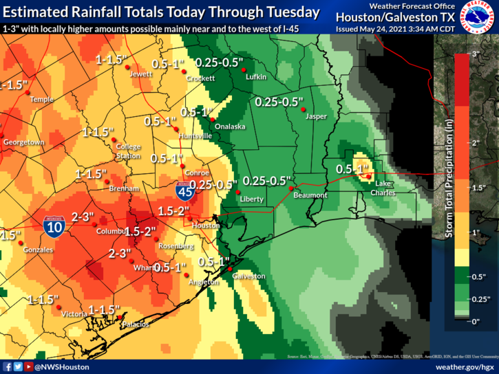
We’re done with the organized, heavy rainfall. Really. We may still see some scattered showers today, but we’re heading toward sunnier skies and warmer weather. The forecast for the weekend remains somewhat in flux, with a chance of showers on Saturday, but overall it looks reasonably nice for the Memorial Day period.
Wednesday
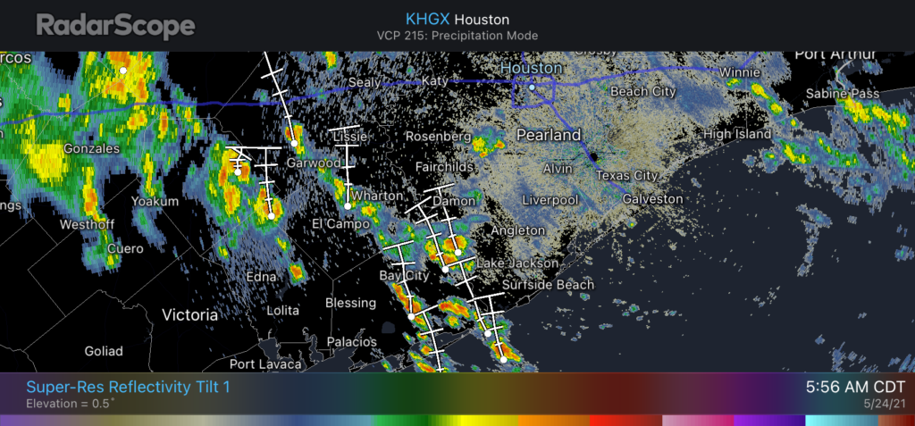
The radar is quiet across the region this morning, and moisture levels have fallen. We still may see a few scattered, short-lived showers pop up this afternoon, as temperatures approach their highs in the mid- to upper-80s, but I think most of us will stay dry. Skies will see a mix of sunshine and clouds, with lows tonight dropping into the low 70s.
Thursday
As the atmosphere stabilizes, and high pressure expands westward into Texas, our rain chances will drop even lower on Thursday to less than 10 percent. With partly to mostly sunny skies, highs should climb into the upper 80s with only light southerly winds. Lows Thursday night will again be warm, only dropping into the low 70s.
Friday
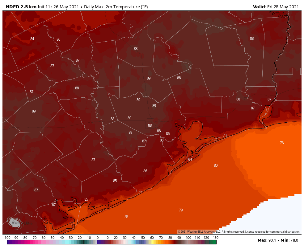
With partly sunny skies, highs on Friday may work themselves toward 90 degrees for some inland parts of the metro area on Friday. The big question is how far a weak front will get on Friday night, and what that means for our weather this weekend. For Friday, this will bring a slight chance of showers during the afternoon and evening hours for areas north of Interstate 10.
Saturday, Sunday, and Memorial Day
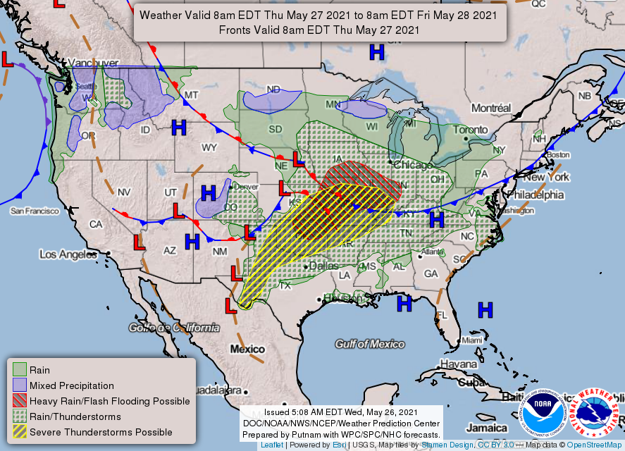
This front, and a passing disturbance, will probably drive more widespread showers and thunderstorms on Saturday morning as it pushes closer to the Houston area. In terms of accumulations, I think we’re talking tenths of an inch for most, with the better rain chances north of Interstate 10. I don’t think the showers will persist all day, as the disturbance driving them should move on.
The question, again, is what happens to the front. I think it will get shoved to the coast, of not off. If this happens we can probably expect partly sunny skies on Saturday afternoon, with highs in the mid-80s. Sunday would be rather pleasant, with drier air and highs in the mid-80s and sunny skies. Some clouds may return for Memorial Day. Rain chances look low for Sunday and Monday, as high pressure fills in, and don’t really return until the middle of next week.