As we enter August, that typically means heat or hurricanes for Texas

Sunday was August 1, which means that a third of the Atlantic hurricane season is now in the books. While that’s a good thing, the reality is that the vast majority of hurricane activity, historically, occurs after August 1st. And for the state of Texas, the odds of a hurricane strike after October 1st are remote. So for us, the next two months really matter. This is when you should have your hurricane plans finalized, and preparations made.

Graphic showing a majority of Atlantic hurricane activity occurs after August 1. (National Hurricane Center)

In terms of a near-term tropical forecast, Matt will have more in our weekly update on Tuesday. However, we’re definitely seeing signs that activity in the “main development region” between Africa and the Caribbean Sea will start to heat up in a week or so. And after that point we’ll likely be closely watching tropical activity for awhile.

Monday

Remarkably, the main discussion point for today, the second day of August, will be a cool front approaching the area. This “front” won’t bring too much cool or dry air, but it will generate enough of a disturbance in the atmosphere to provoke rising air and a good possibility of showers and thunderstorms. Most of the area should see partly sunny skies this morning, with increasing clouds late this morning to go along with rising rain chances.

I think we’ll see a round of showers that will hit about half of the region this afternoon, perhaps a break this evening, and then another round of storms overnight that will probably hit a majority of the Houston area. Accumulations for most will be on the order of 0.5 to 1.0 inch, but some few areas may pick up 3 or more inches. We’re not expecting anything more than low-lying street flooding, at worst. For the most part we should see highs in the low 90s.

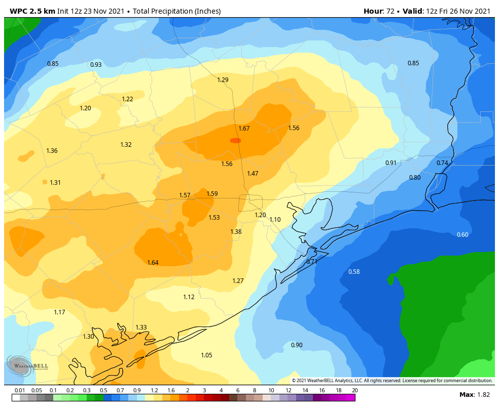
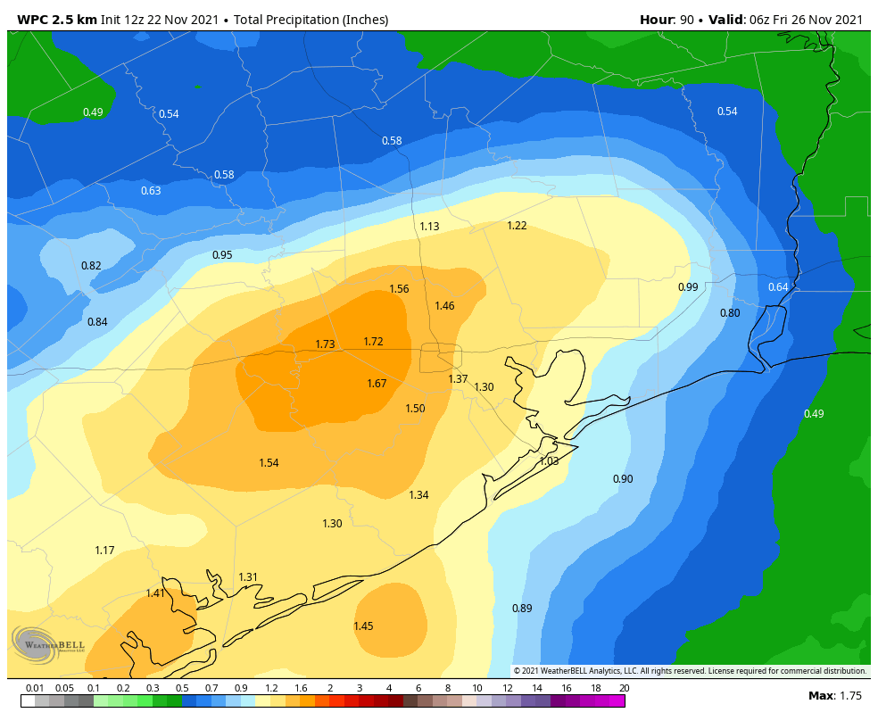
NOAA rain accumulation forecast for now through Thursday. (Weather Bell)

Tuesday

As the front gets hung up along the coast on Tuesday, we should see scattered showers again although probably not with the intensity some areas see Monday and Monday night. Otherwise we expect partly sunny skies with highs in the low 90s. As far as cooling goes, overnight lows should drop into the mid-70s for much of the region, which isn’t terrible for August.

Wednesday and Thursday

The weather these days will depend on whether the front shoves all the way offshore, but if it does I expect a pair of reasonably pleasant August days, with highs in the low 90s, slightly lower humidity, and scattered to isolated rain chances. Lows will be in the 70s.

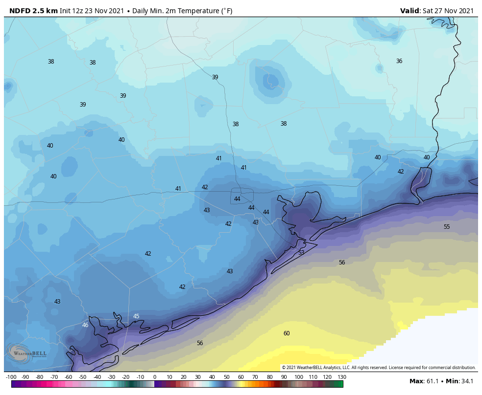
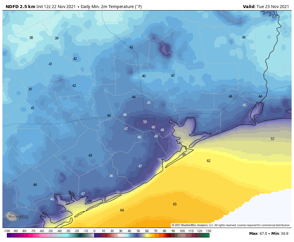
Thursday morning’s lows should be the coolest of the week for most locations. (Weather Bell)

Friday, Saturday, and Sunday

The end of the week looks to bring mostly sunny weather to the region, with increasing humidity. Highs will likely be in the neighborhood of the mid-90s. At this point it looks like the atmosphere will be supportive of some scattered showers and thunderstorms during the afternoon hours with daytime heating. For the most part, however, this should be a pretty classic August weekend in Houston with heat and humidity.

Hot and mostly sunny through the weekend before a change next week

Good morning. Overall the forecast story remains the same, with scattered afternoon rain chances this week, a hot and sunny weekend, and then better rain chances next week as a rare August front moves into Texas and approaches our area.

Forecast high temperatures for Thursday. (Weather Bell)

Thursday

It’s rather sultry outside this morning, with temperatures solidly at 80 degrees or above for most of the metro area. Our weather today will continue the pattern we’ve seen for this week, with hot and mostly sunny conditions, and high temperatures in the mid- to upper-90s. Winds today will be out of the southeast at 5 to 10 mph. The sea breeze should generate some shower activity late this morning and into the afternoon, but showers should be fairly scattered with one-third or less the metro area seeing rainfall. Lows tonight will again be warm.

Friday

See Thursday’s weather.

Saturday and Sunday

As the influence of high pressure over the plains states expands further, Houston’s temperatures should rise into the upper 90s this weekend, and rain chances will transition from “scattered” to “isolated.” This will be a classic August weekend as we head into August.

NOAA rain accumulation forecast for now through next Wednesday. (Weather Bell)

Next week

Monday looks hot and sunny again, but then an honest-to-goodness front will push into Texas and move toward the Houston region on Monday night. I want to set expectations accordingly, as this front won’t bring much cooler or drier air. Rather, it should instead drive increased shower activity on Tuesday and perhaps Wednesday of next week, and the increased cloud cover may push highs into the lower 90s. After a hot week some showers and somewhat cooler weather would not be unwelcome.

Summertime weather continues for Houston with daily storm chances

Good morning. Houston’s summertime pattern will continue for the rest of this week, with hot days and a decent chance of afternoon showers and thunderstorms. These storms will be hit or miss—a few locations in the Houston region saw one-half inch of rain on Tuesday afternoon and evening, while most people saw no rain at all.

Wednesday

If the air feels a tiny bit drier this morning you can thank some thunderstorms that developed on the east side of Houston on Tuesday evening. These ushered some slightly cooler air into the region. This may slow development of showers today, but we still expect at least scattered activity later this afternoon and evening. Probably about one third of the area will see at least some brief showers, with a few locations seeing downpours. Highs should get into the mid-90s with light easterly winds. Lows tonight may briefly drop below 80 degrees.

Temperatures are slightly cooler this morning due to storms east of Houston overnight. (Weather Bell)

Thursday and Friday

Quite honestly the setup does not change much. Skies will still be partly to mostly sunny, with highs in the mid-90s, and a chance of afternoon and evening showers.

Saturday and Sunday

As high pressure becomes a little bit more dominant this weekend I think rain chances will lower a bit, but not go away entirely. Mostly, we’re going to see sunshine and hot weather, with highs likely in the upper 90s. August begins on Sunday and yeah, it will feel like it.

Temperatures may cool slightly next week due to increased shower activity. (Weather Bell)

Monday and beyond

Monday looks hot and sunny again, but thereafter a dying front approaching Houston from the northeast may act to raise rain chances and slightly lower temperatures. We may be talking highs in the low 90s and rain chances of 50 percent or higher, but at this point it’s difficult to have too much confidence in such a forecast.

Scattered showers may help cool Houston off, slightly

Congratulations, Houston. We’ve made it to the hottest time of year, and Mother Nature has responded right on cue. The high temperature reached 99 degrees at Bush Intercontinental Airport on Monday, tying our hottest day of the year, when the mercury also hit 99 on June 13. We’ll see plenty of more days in the mid- to upper-90s this week. Fortunately, there will also be at least some scattered showers that may break the heat now and then.

Tuesday

For much of the metro area, temperatures have not fallen below 80 degrees this morning. This is due, in part, to mostly cloudy skies and very light winds. Later today we’ll see a mix of sunshine and clouds, with highs likely topping out a couple of degrees cooler than on Monday. Some showers have developed in response to low pressure south of Louisiana, and some rain from this system may eventually work its way into Galveston County later this morning.

The better rain chances—probably about one-in-three for the greater Houston area—will come this afternoon along with daytime heating. This rainfall will probably take the form of a downpour for one area, and nada a mile or two away. The best chances for accumulation are probably inside the Sam Houston Tollway, but rain could really fall anywhere. Storms should continue this evening, before dying off after sunset. Lows tonight may drop into the upper 70s.

Highs Tuesday should be a couple of degrees cooler than on Monday. (Weather Bell)

Wednesday and Thursday

Expect more of the same with partly to mostly sunny days, highs in the mid- to upper-90s, and about a one-in-three chance of rain at your location. These showers, again, will likely fire up during the afternoon hours and die down as the sun sets.

Friday and Saturday

It looks like high pressure may slide a little bit closer to our region by this weekend, and that could reduce rain chances to “isolated” instead of “scattered.” Basically it means the same thing—it probably won’t rain at your house, but it might. And if it does, rains could briefly be heavy. Highs will remain in the mid- to upper-90s with partly to mostly sunny skies.

Sunday

The second half of the weekend may be a little warmer, with sunny skies and low rain chances. Some locations may come close to 100 degrees.

NOAA rainfall accumulation map for now through Saturday. (Weather Bell)

Next week

I don’t have too much confidence in weather next week, the first full week of August. I will say that right now it does not appear as though we’ll be fully in the grasp of high pressure, which means there’s at least a puncher’s chance of rain most days. But with that said, it will be August. And let’s be honest, August is pretty miserable in the 713.

Tropics

Matt will have a full rundown for you later this morning. Things still look pretty good but we’re just now approaching the time when activity starts to kick in, typically.