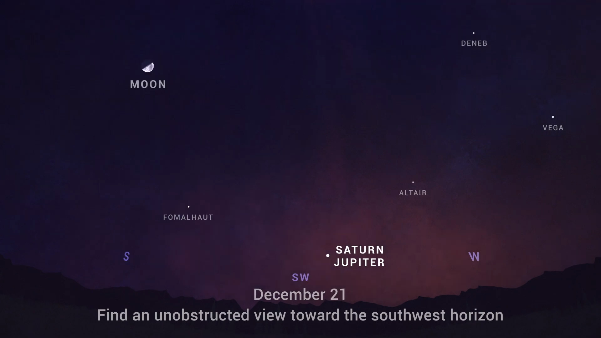
Good morning. Houston will see a fairly turbulent front move through on Wednesday and Wednesday night, but we expect things to calm down by later on Christmas Eve, and certainly Christmas Day. All in all it seems like Mother Nature will be doing her part to ensure a festive holiday.
Tuesday
Temperatures have generally fallen into the upper 40s across Houston this morning, but we’ll warm to about 70 degrees under mostly sunny skies later today. Winds will be light, coming from the south or southeast, making for a pleasant day. As clouds increase this evening, and with the southerly flow, I doubt temperatures will drop too far below 60 degrees for most of the area.
Wednesday
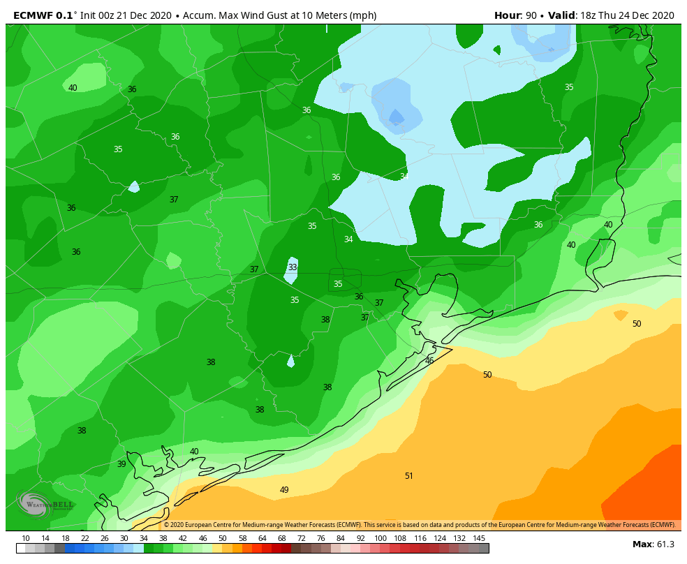
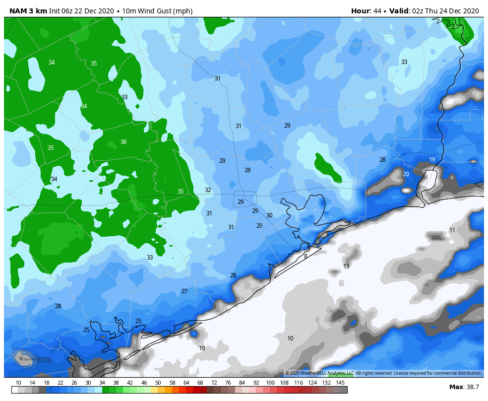
This day should bring a lot more clouds, and humidity levels will continue to ramp up as highs reach the mid-70s. We’ll see the development of mostly light to moderate showers later on Wednesday, in advance of a cold front. These showers likely will drop only a few tenths of an inch of rain, at most, for most of the area, but we can’t rule out development of a few thunderstorms. The bigger story will be the winds accompanying a front that will move into Houston during the evening hours. Overnight, winds could gust as high as 40 mph over parts of the region, so you’ll definitely want to prepare for that. Lows will drop down to near 40 degrees for all but the coast.
Christmas Eve
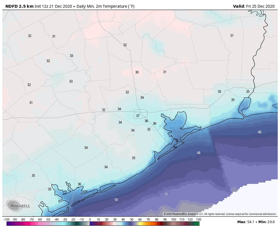
This will be a sunny, blustery, and cold day. Highs will struggle to get above the mid-50s, and with a brisk northerly wind a chill will definitely be in the air. The night before Christmas will see temperatures dip into the 30s, but most of the region should remain just above freezing.
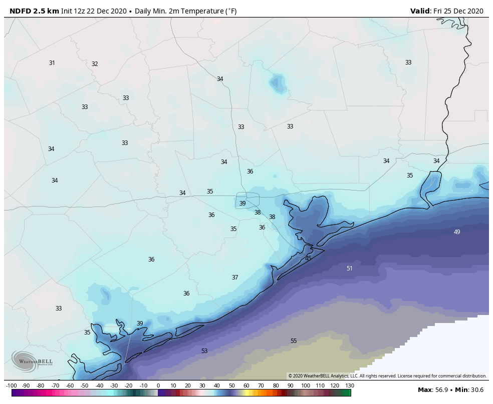
Christmas Day
We’ll see placid weather for the Christmas holiday, with mostly sunny skies and highs pushing up to around 60 degrees. Really, there will be nothing to complain about here.
Saturday and Sunday
The onshore flow will become more pronounced by Friday night, and this will lead to more clouds and warming temperatures. The weekend should see a mix of sunshine and clouds as highs get into the mid-60s on Saturday, and low 70s by Sunday. A weaker front may bring another shot of drier air by Sunday night.